









Sale!
,

TopoActive Maps

Original price was: $59.99.Current price is: $17.99.

Guaranteed Safe Checkout

THE WORLD AWAITS

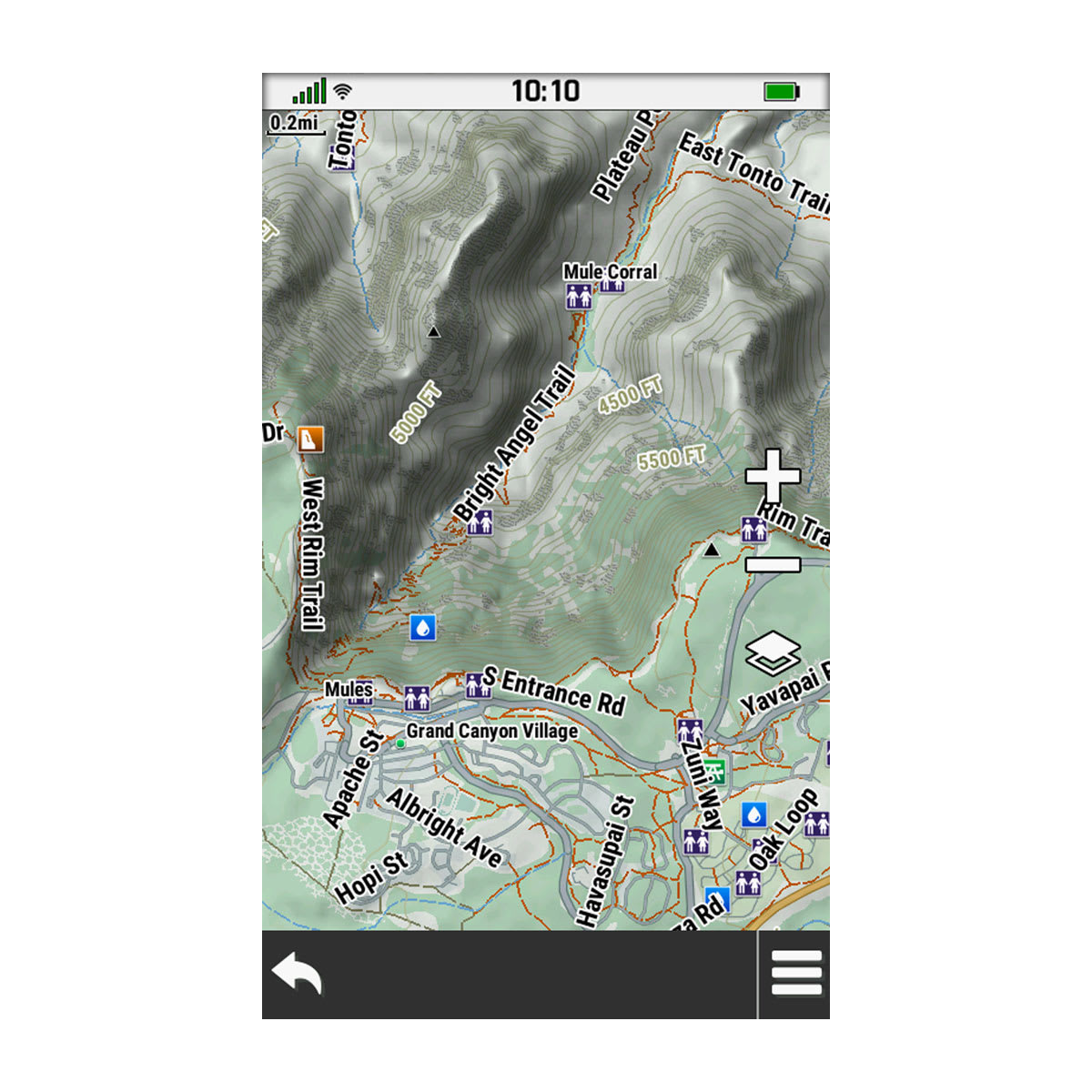
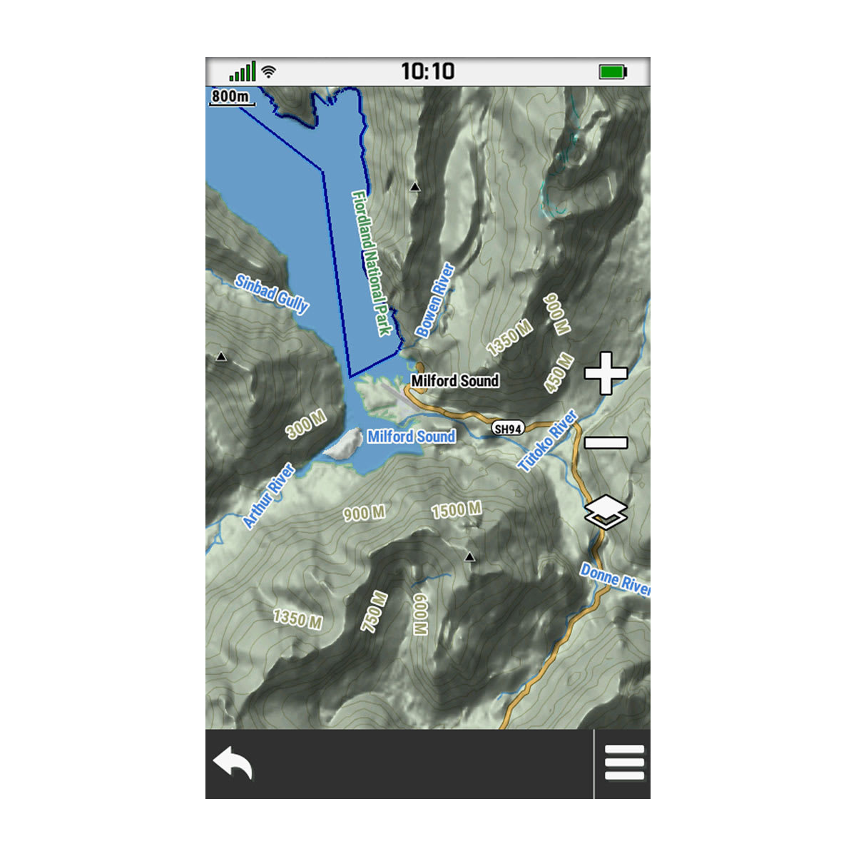
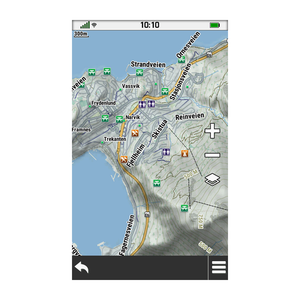
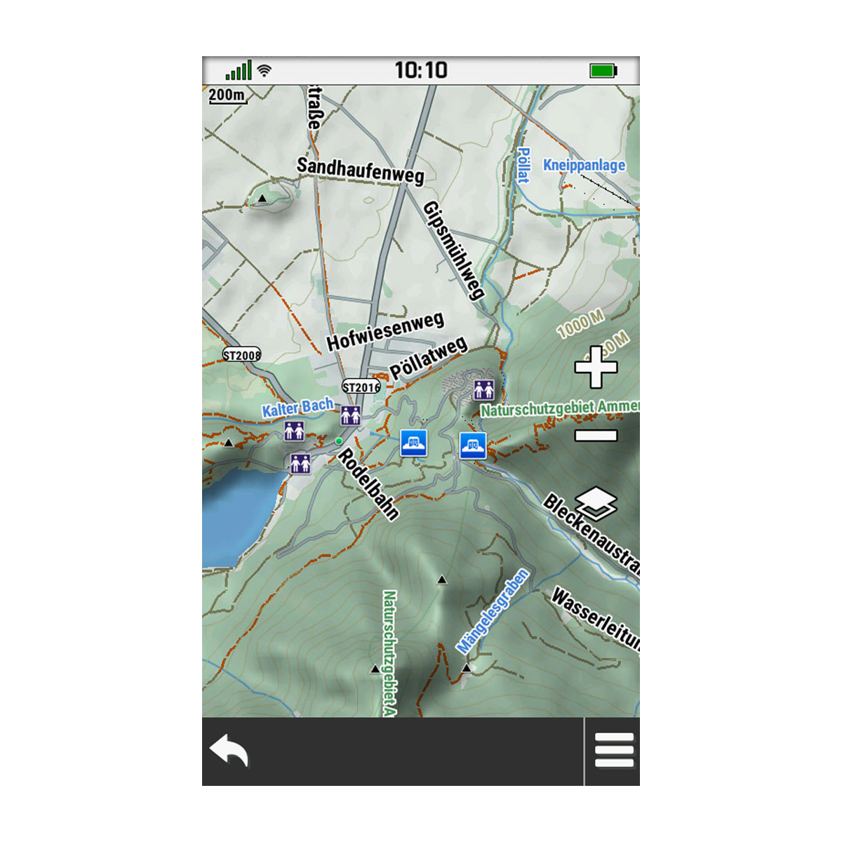
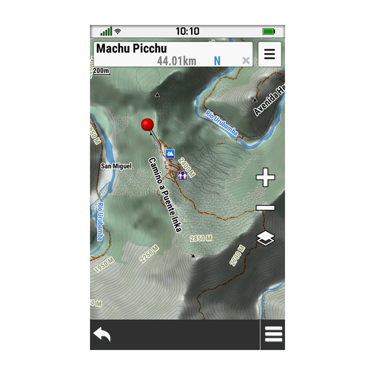
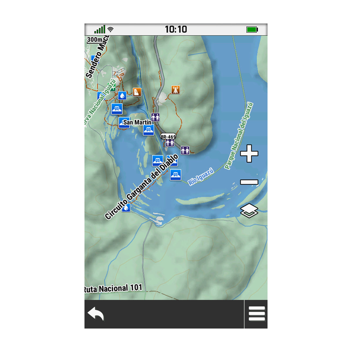
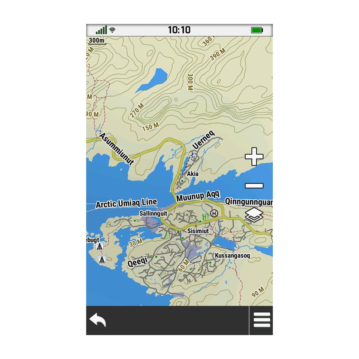
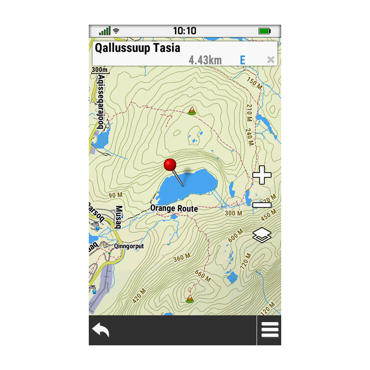
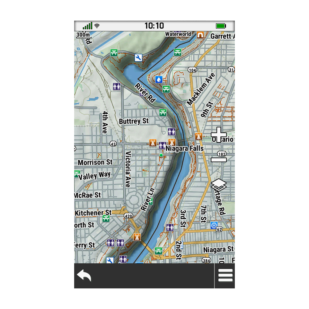
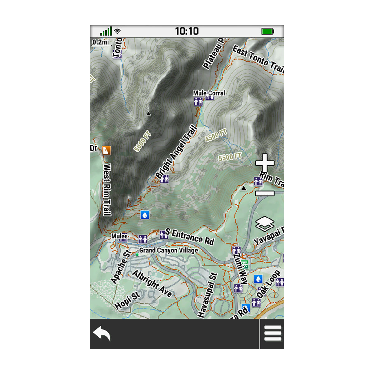
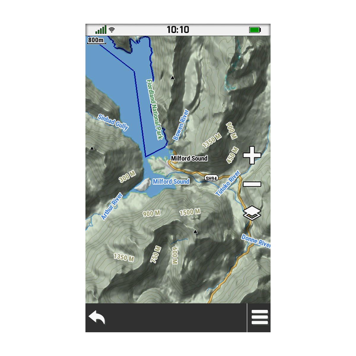
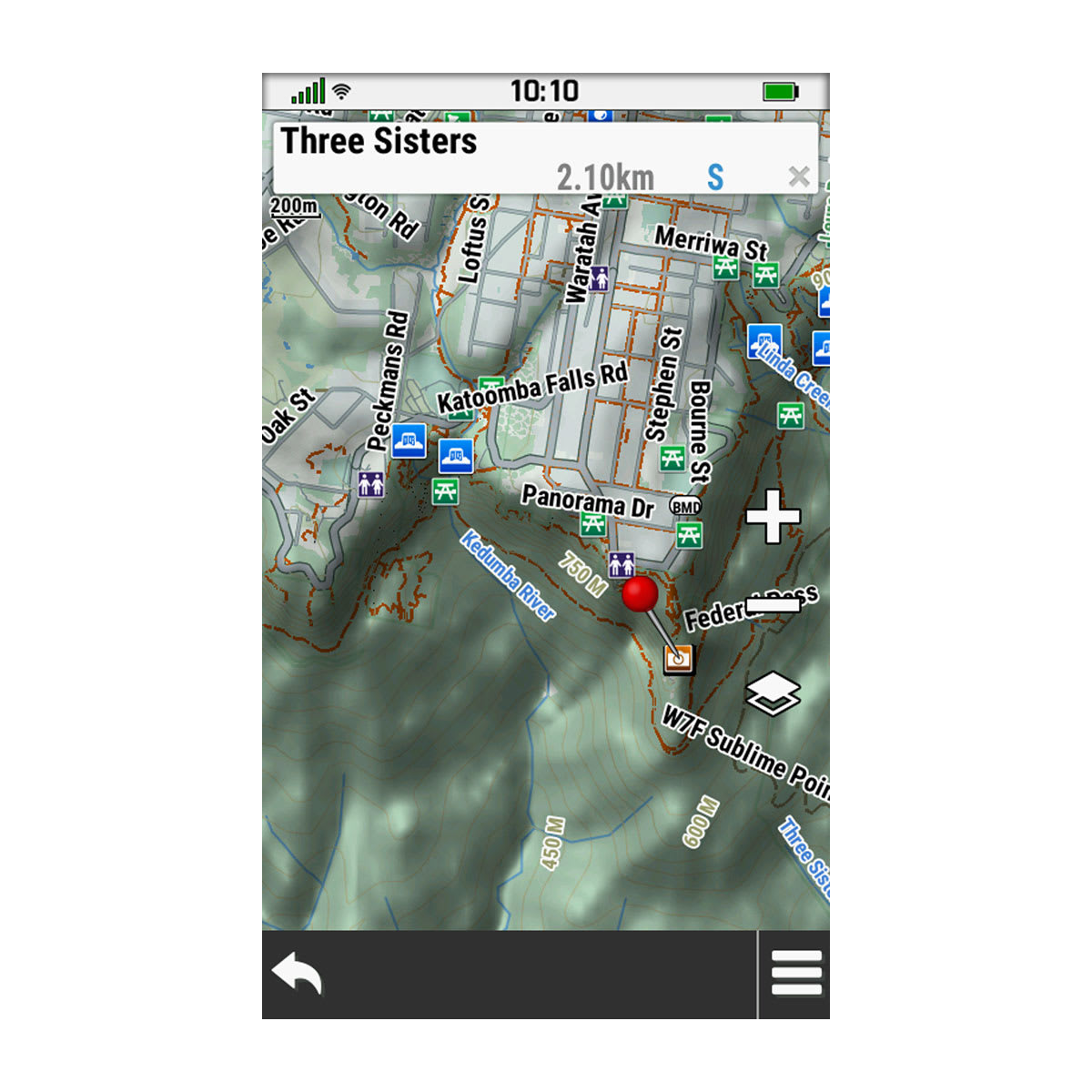
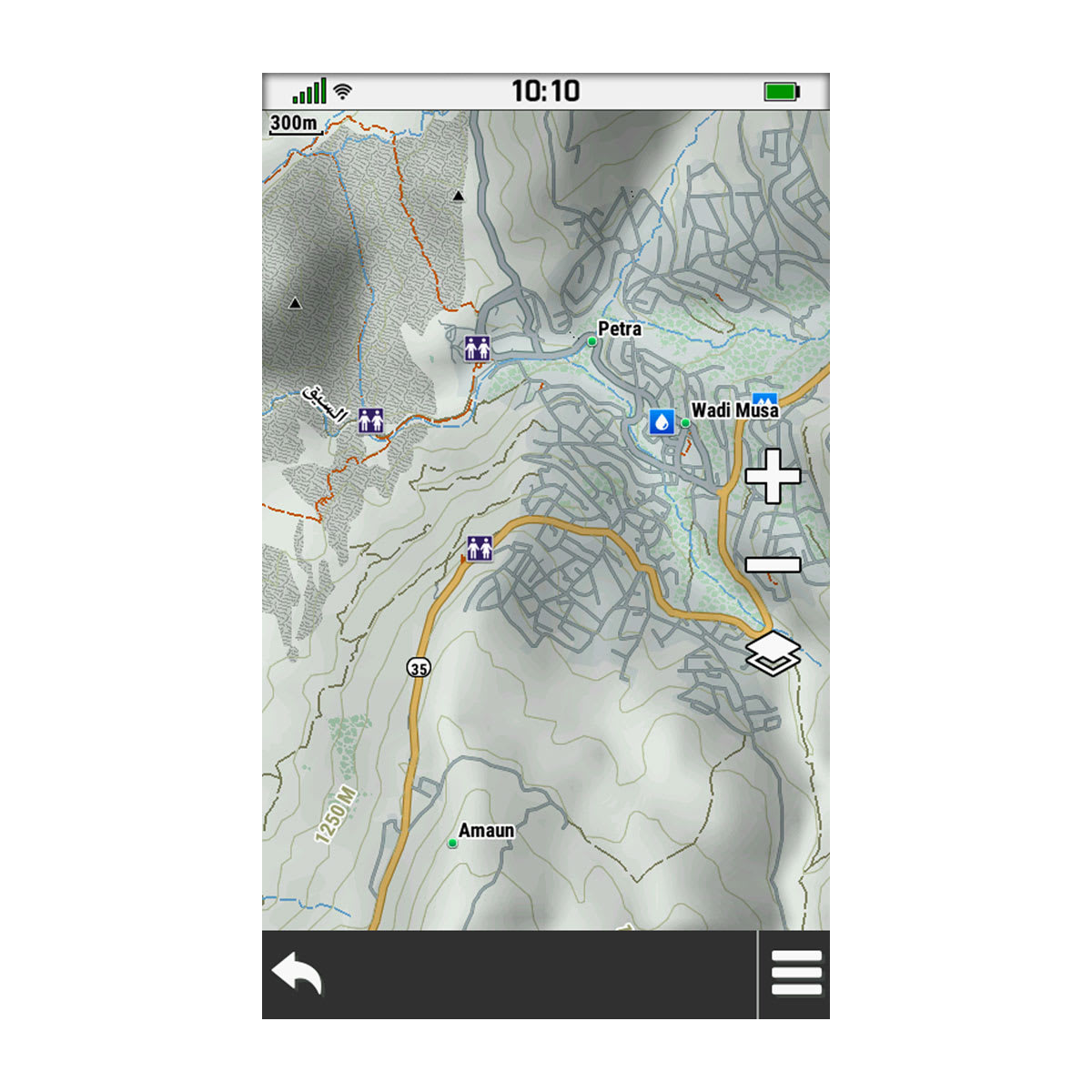
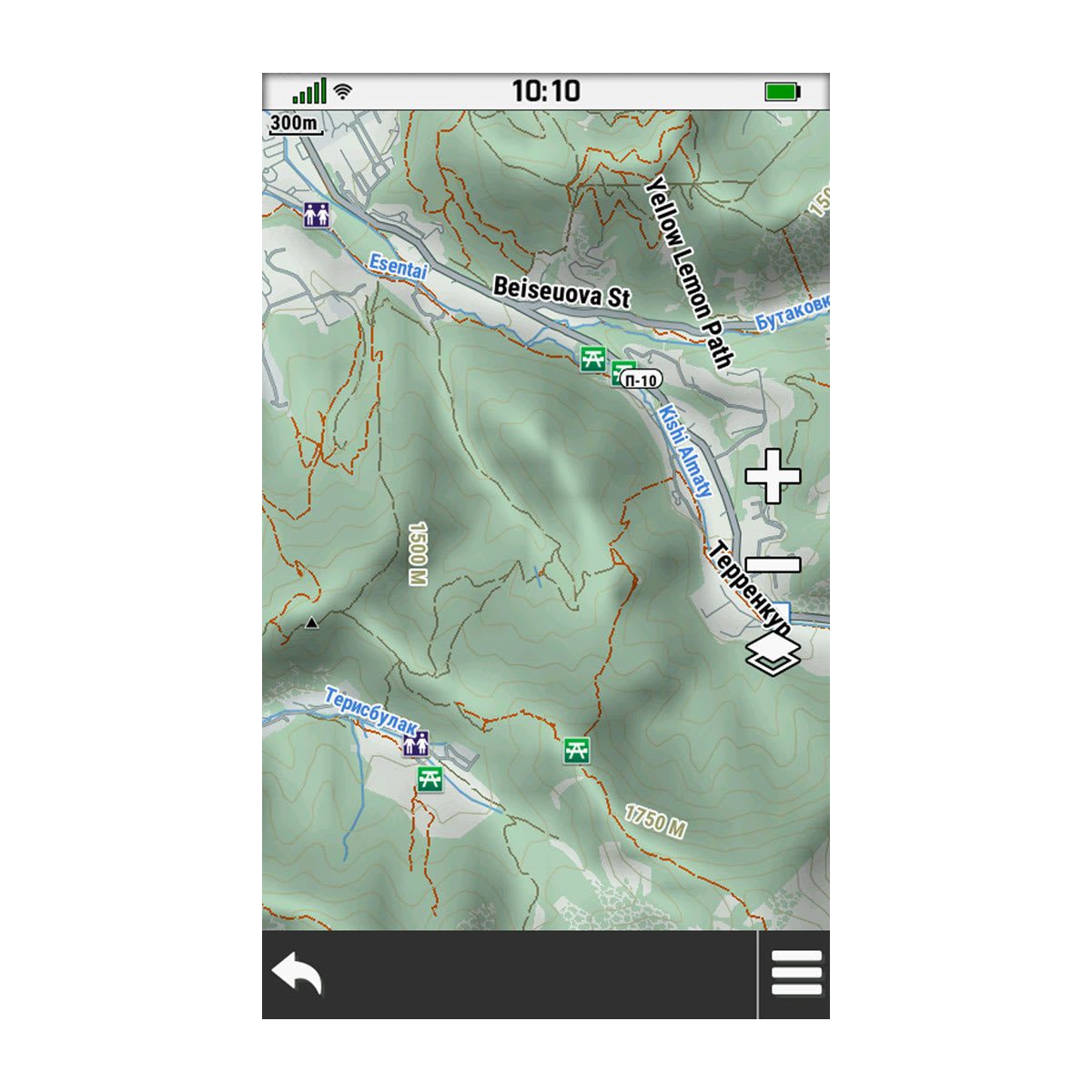
Navigate your adventure with this multiuse map, optimized for outdoor activities and compiled from the community-generated OpenStreetMap™ database.

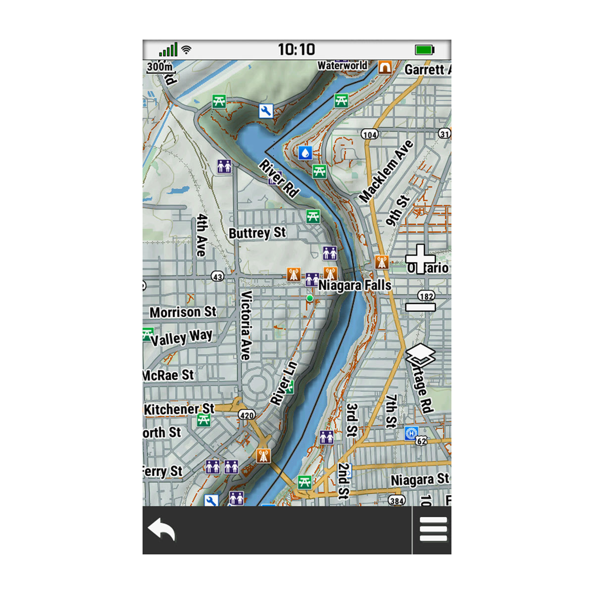
INCLUDES ROADS AND TRAILS, NATURAL FEATURES, PARKS, AND MORE

DISPLAYS THOUSANDS OF POINTS OF INTEREST

MAPS FOR HIKING, CYCLING AND OTHER OUTDOOR ACTIVITIES

MAP FEATURES

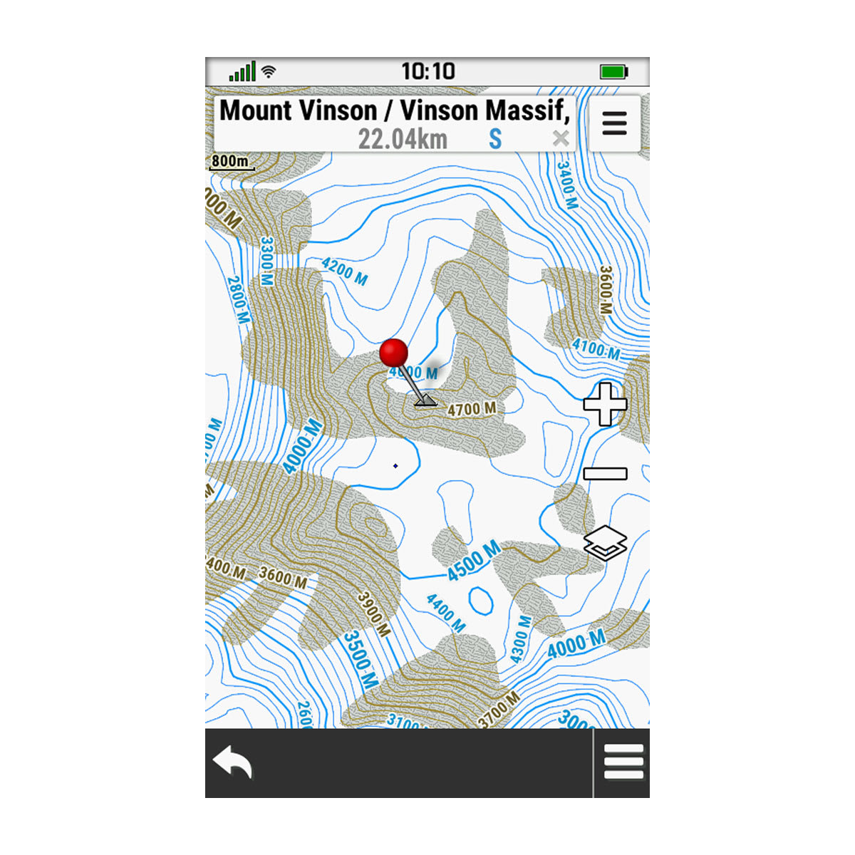
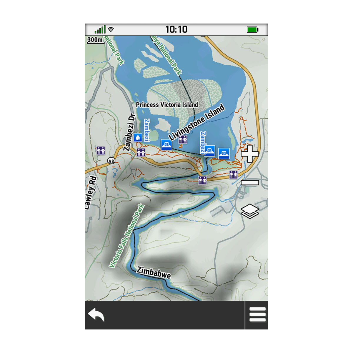
View summits, national and local parks, coastlines, lakes and rivers, natural features, and more.

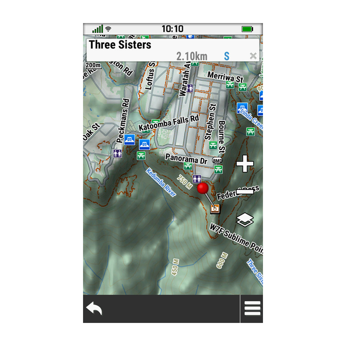
POINTS OF INTEREST

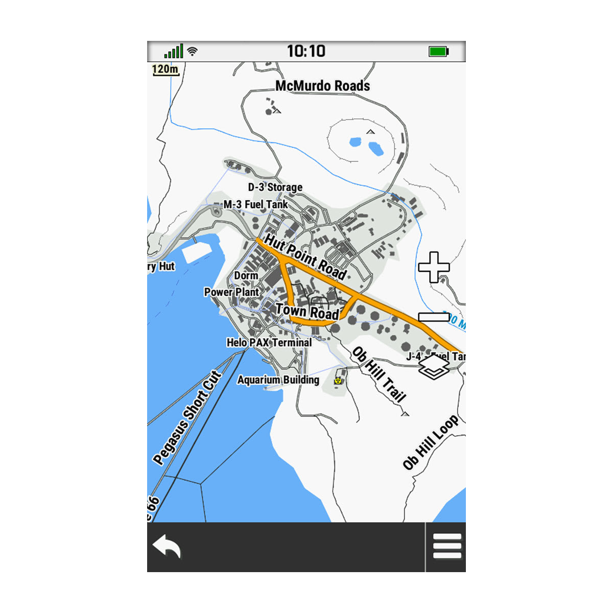
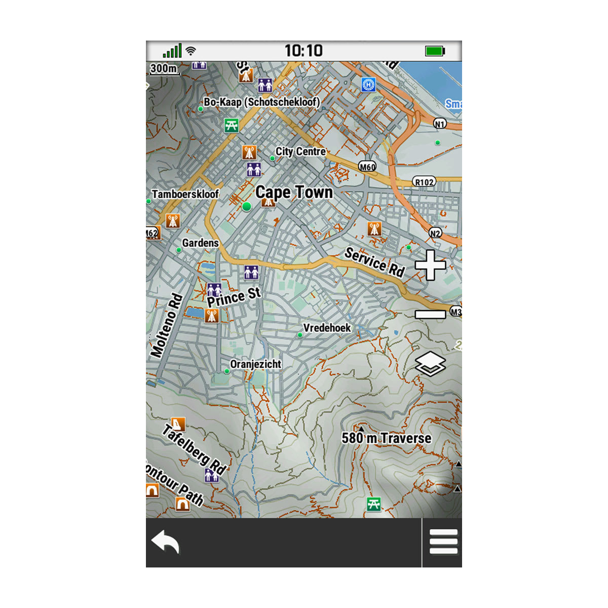
Looking for something? Get thousands of points of interest, including geographic labels, cycling essentials, shops, restaurants and bars, community features, and accommodations.

FIND YOUR WAY

This mapsupports navigation for your hike or ride with activity-specific directions based on Trendline™ popularity routing. View maps and popularity on your compatible smartwatch, Edge® cycling computer or GPS handheld.
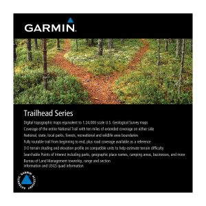
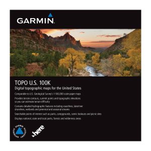
OpenStreetMap is a trademark of the OpenStreetMap Foundation, and is used with their permission. This product is not endorsed by or affiliated with the OpenStreetMap Foundation.
Limitations may exist in map data for some road and trail route suggestions. Always defer to all posted road signs and conditions during vehicle operation. Garmin products using OpenStreetMap data are intended to be used only as supplementary travel aids.
These maps do not have the ability to navigate to an address.
Engineering enhancements are ongoing and may not be reflected in the pictures, videos and specifications.
Weight 1 lbs
Format

Download, SD™ Card

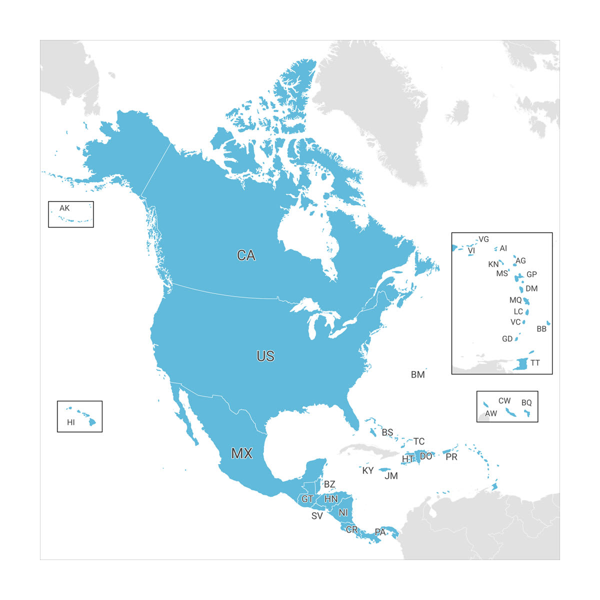
Map Region

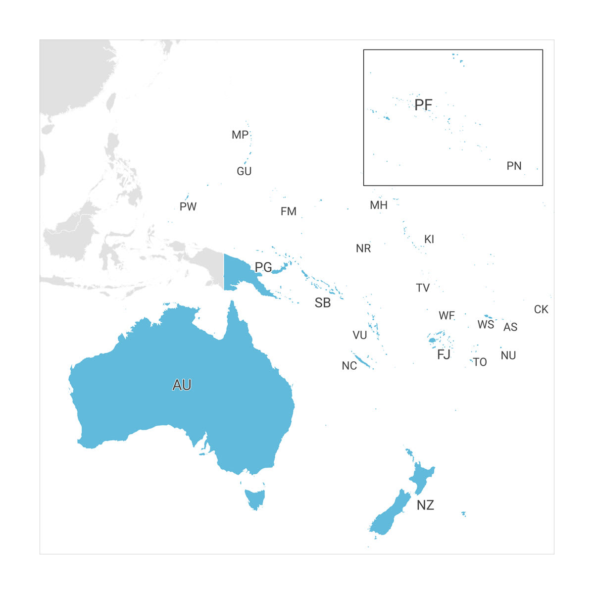
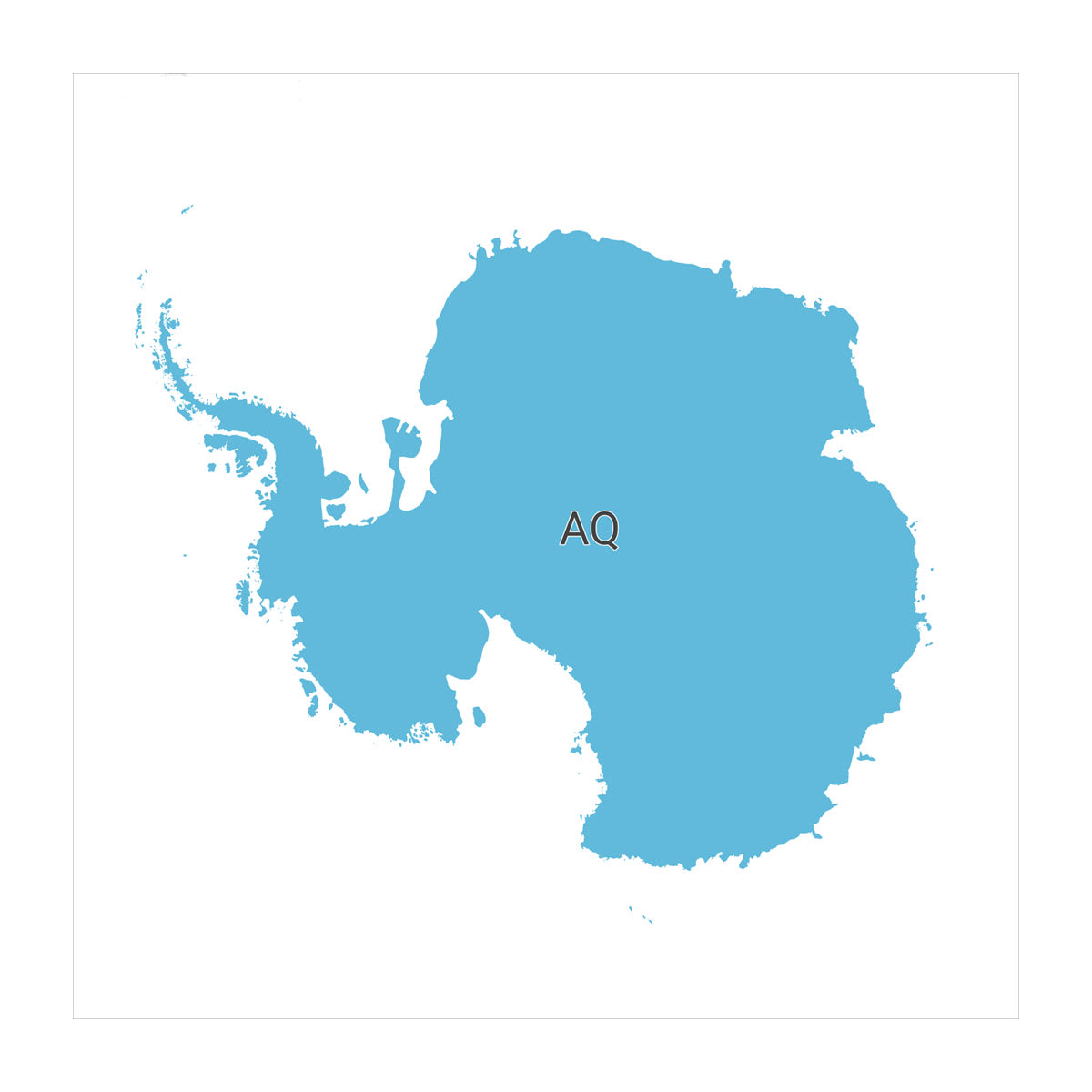
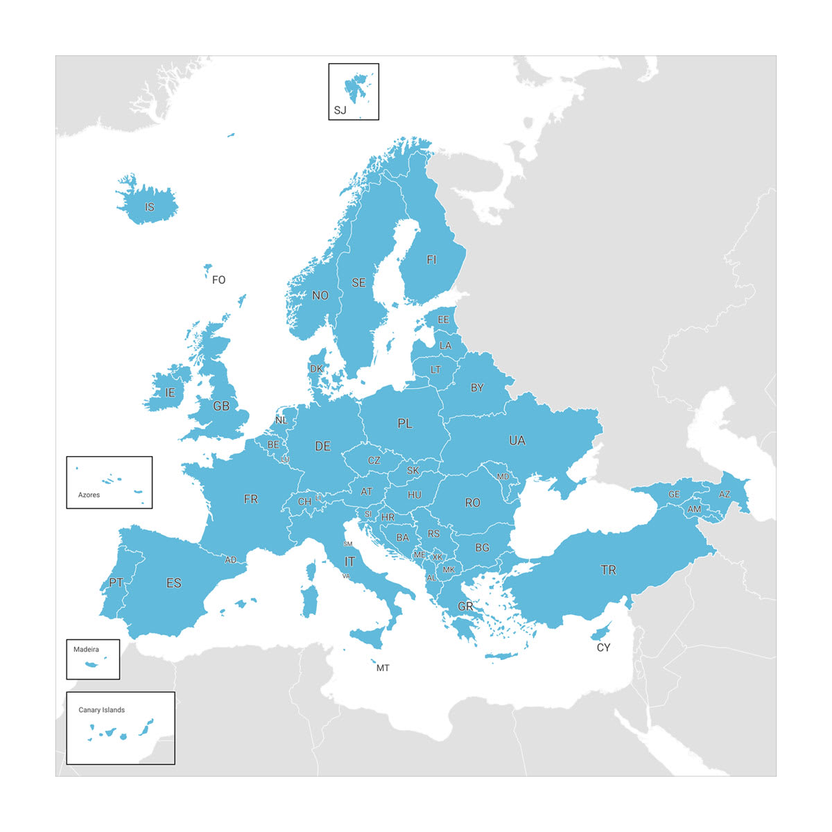
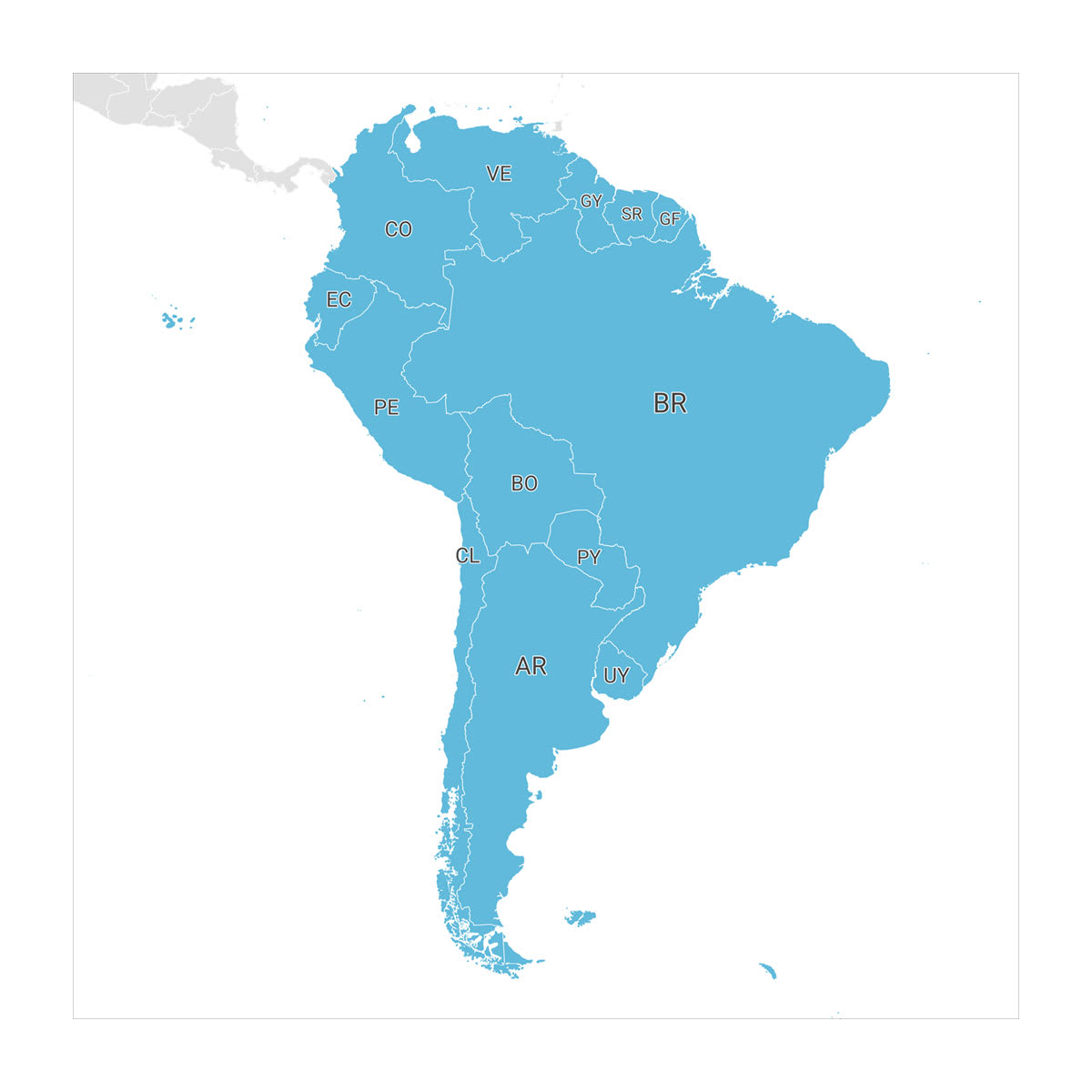
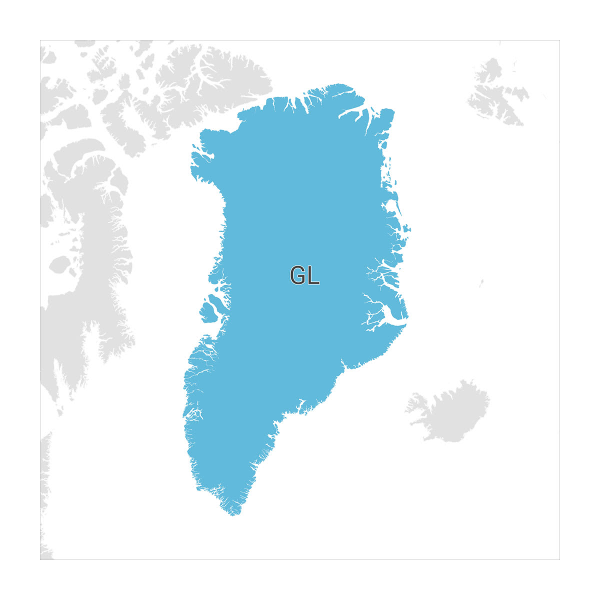
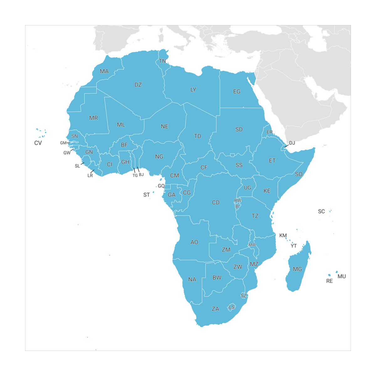
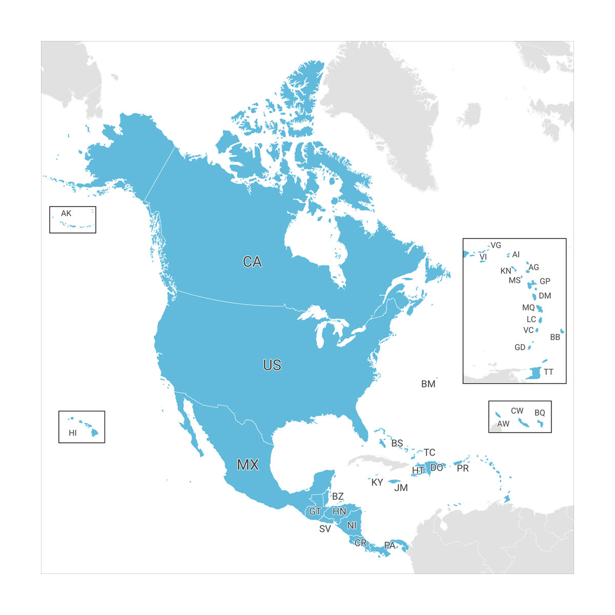
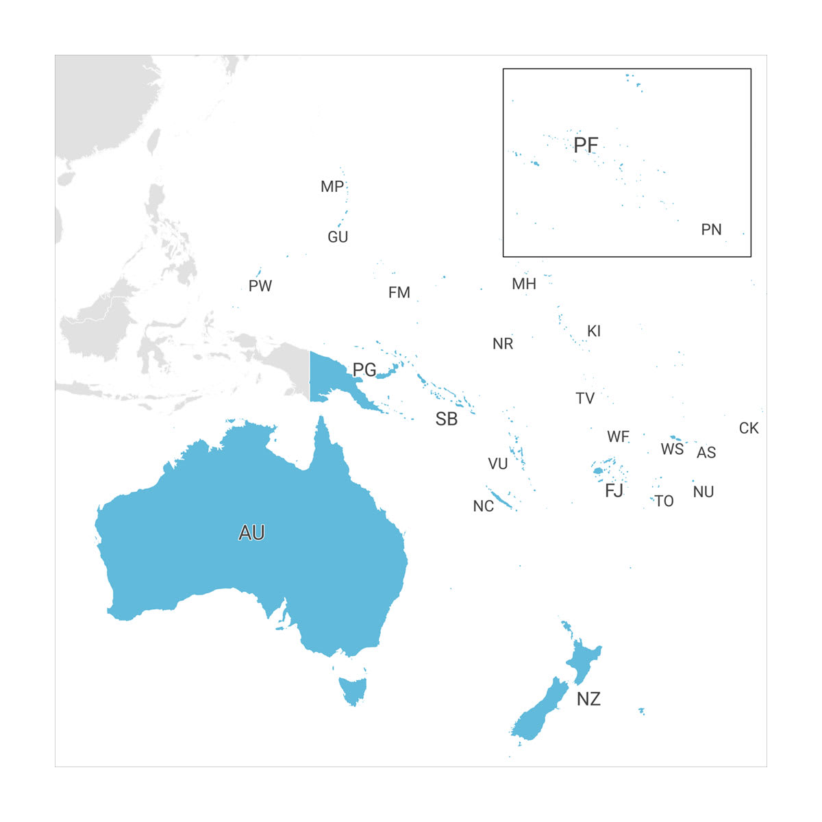
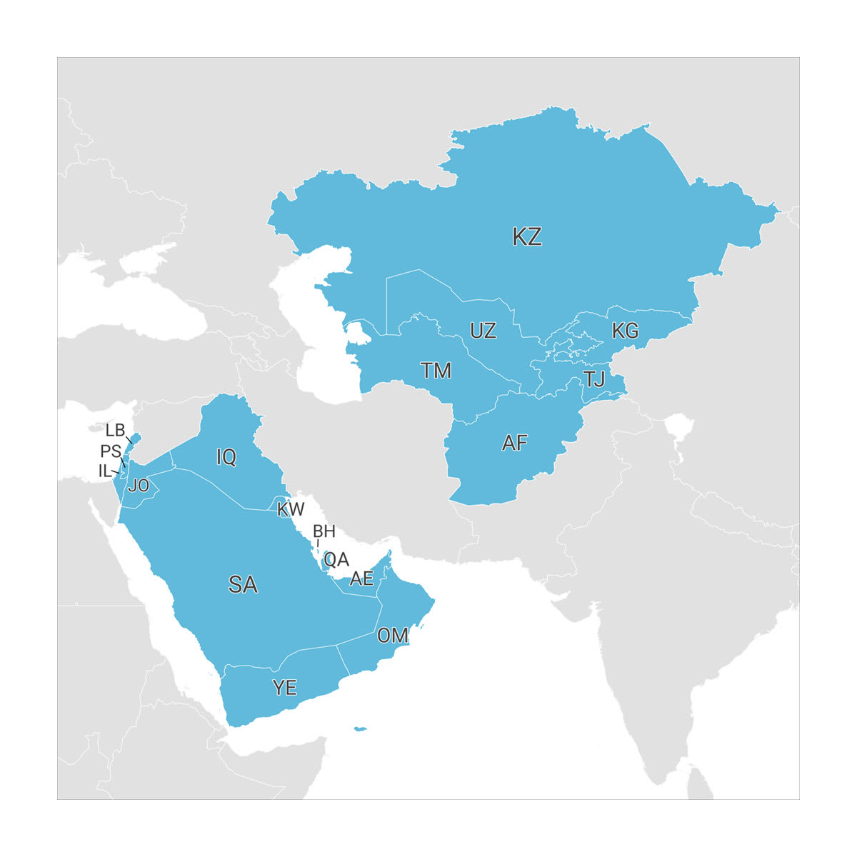
Africa, Antarctica, Australia and Oceania, Europe, Greenland, Middle East and Central Asia, North America, South America

Reviews

There are no reviews yet.

Be the first to review “TopoActive Maps”

Your email address will not be published. Required fields are marked *

Shopping Cart
Scroll to Top