


SEE BIGGER CATCHES ON A BIGGER SCREEN
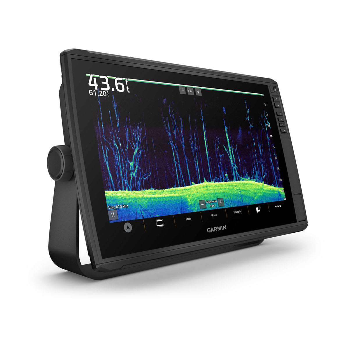
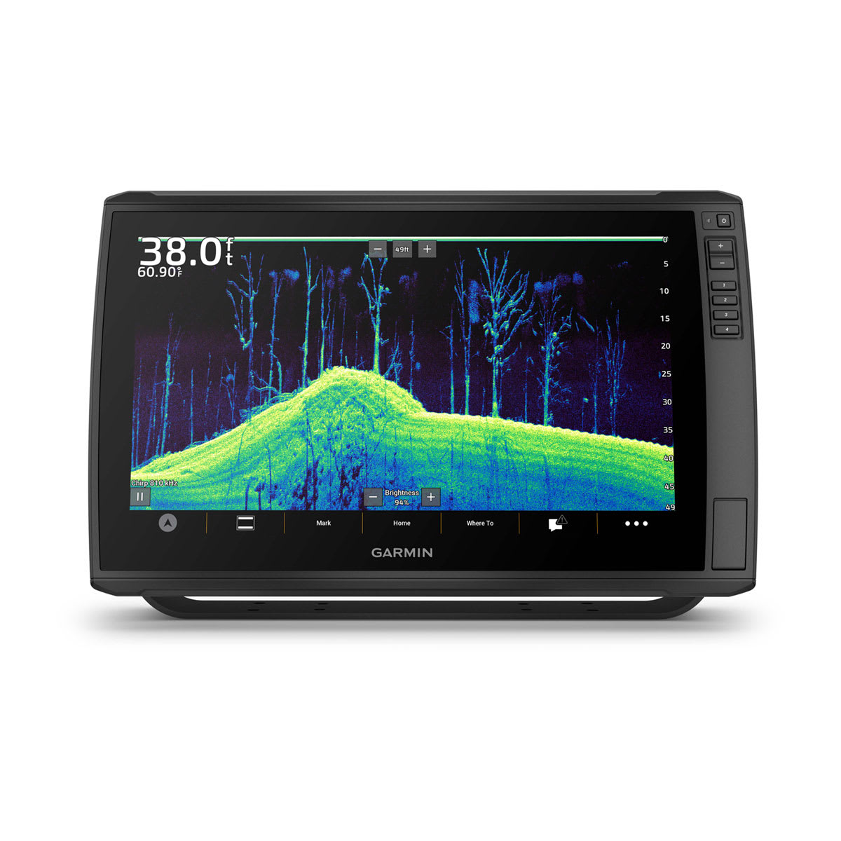
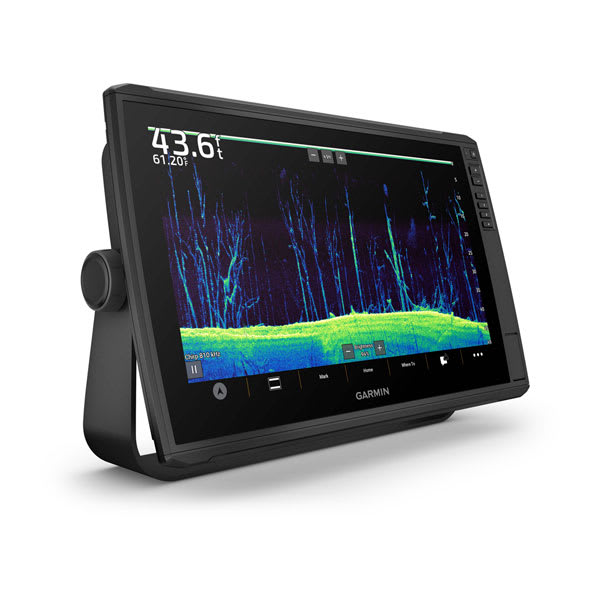
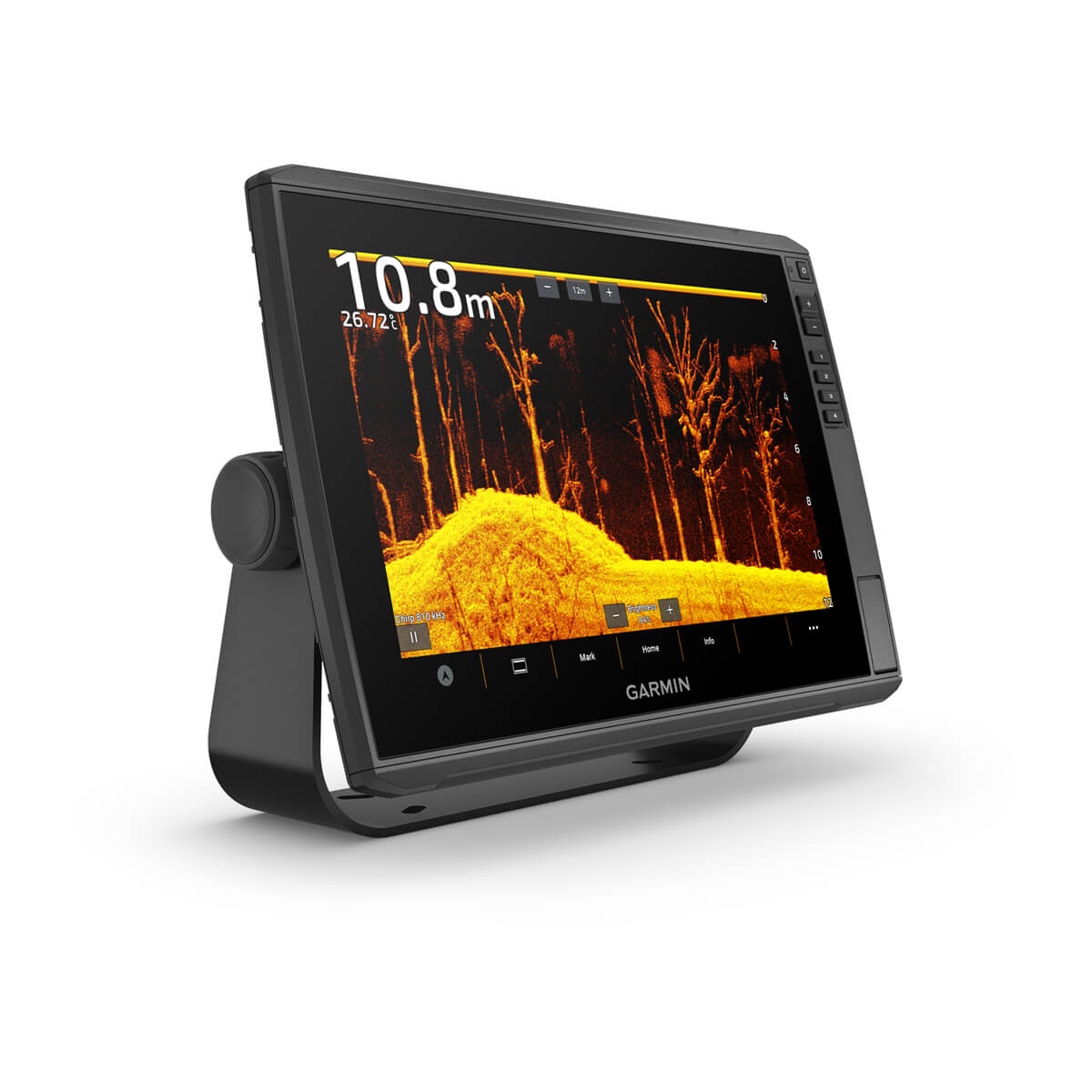
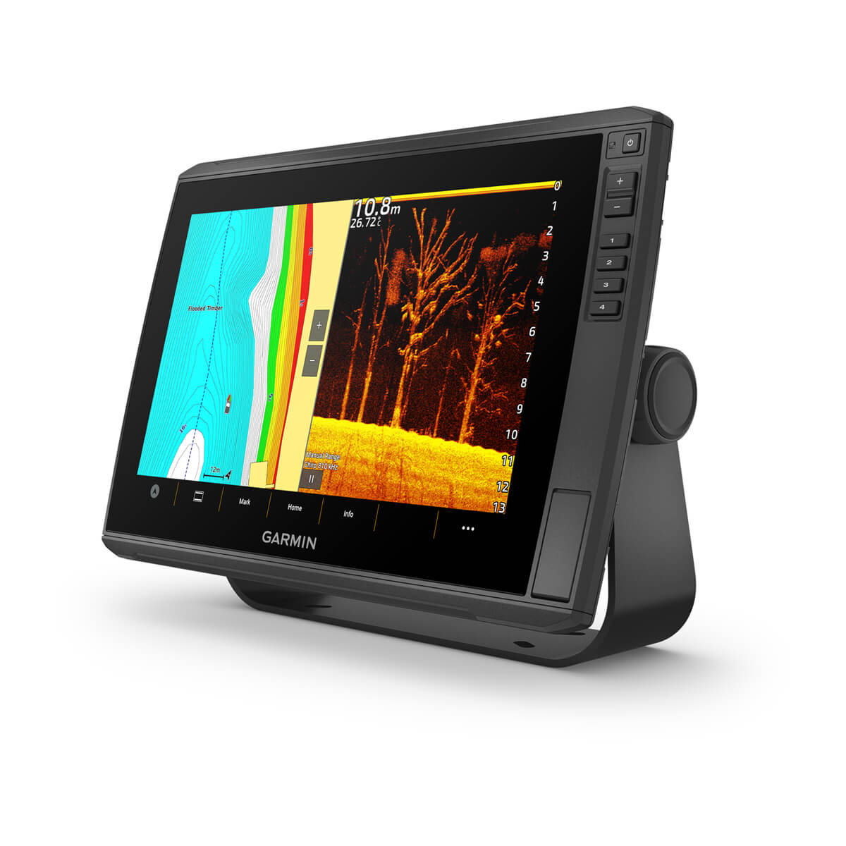
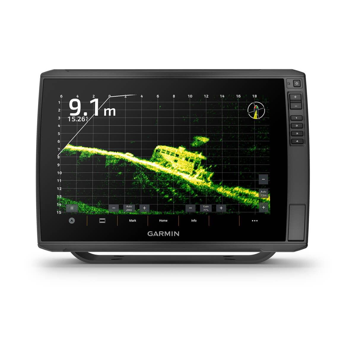
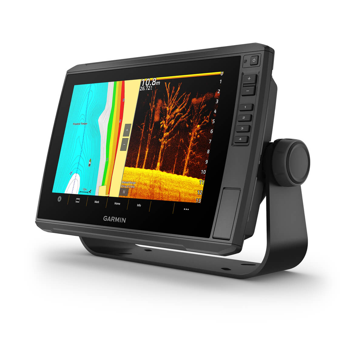
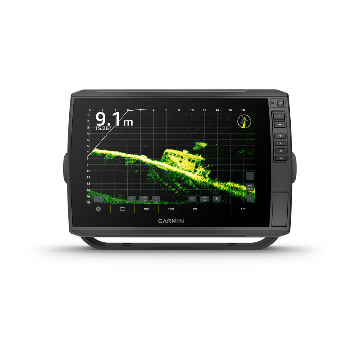
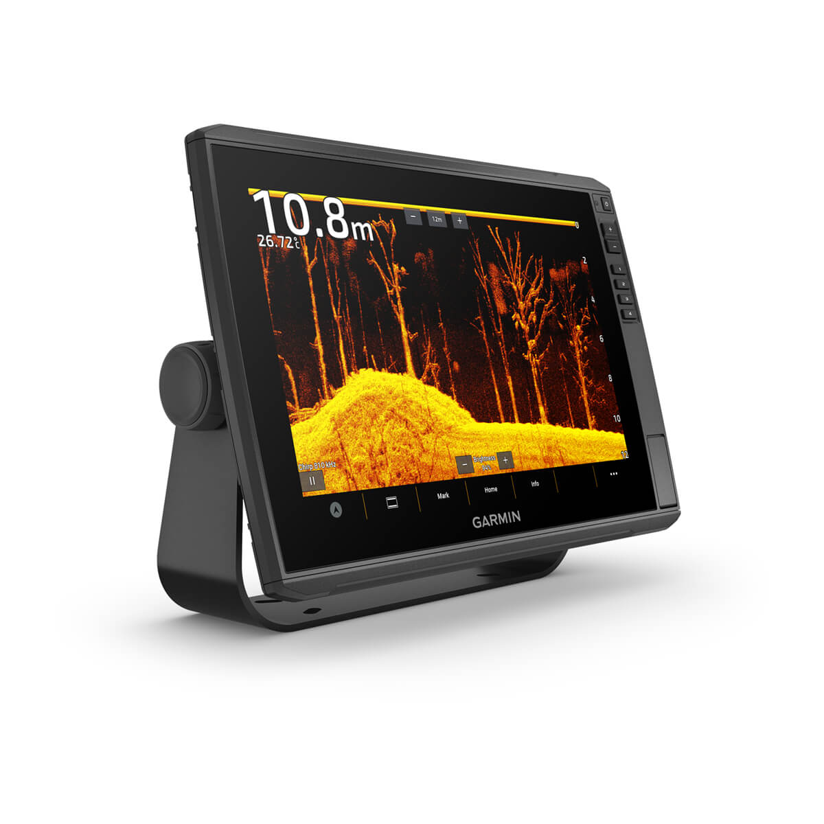
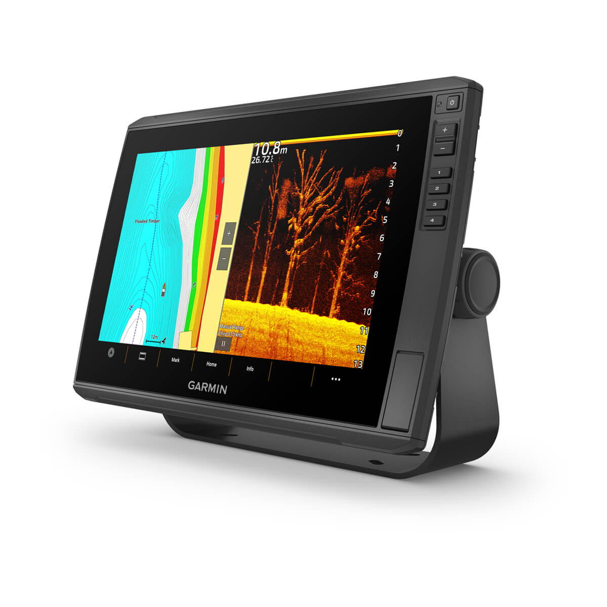
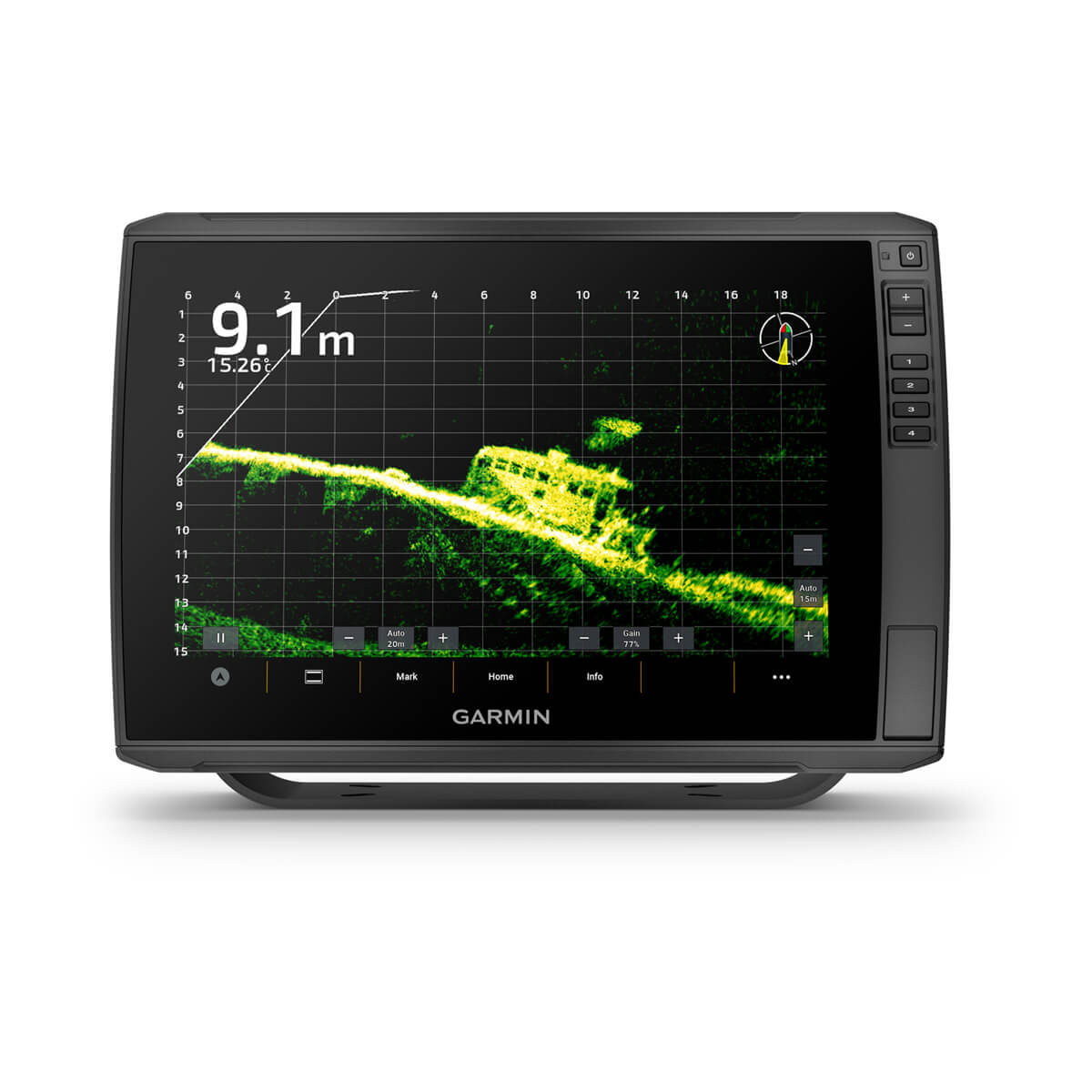
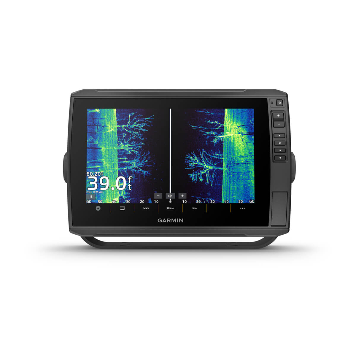
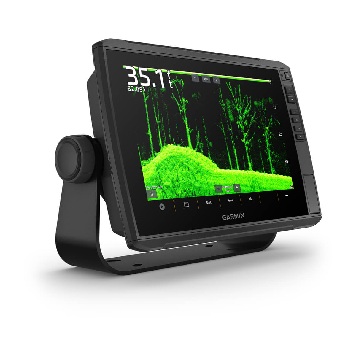
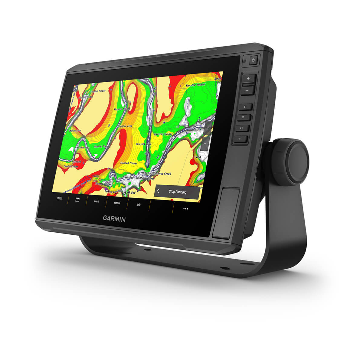
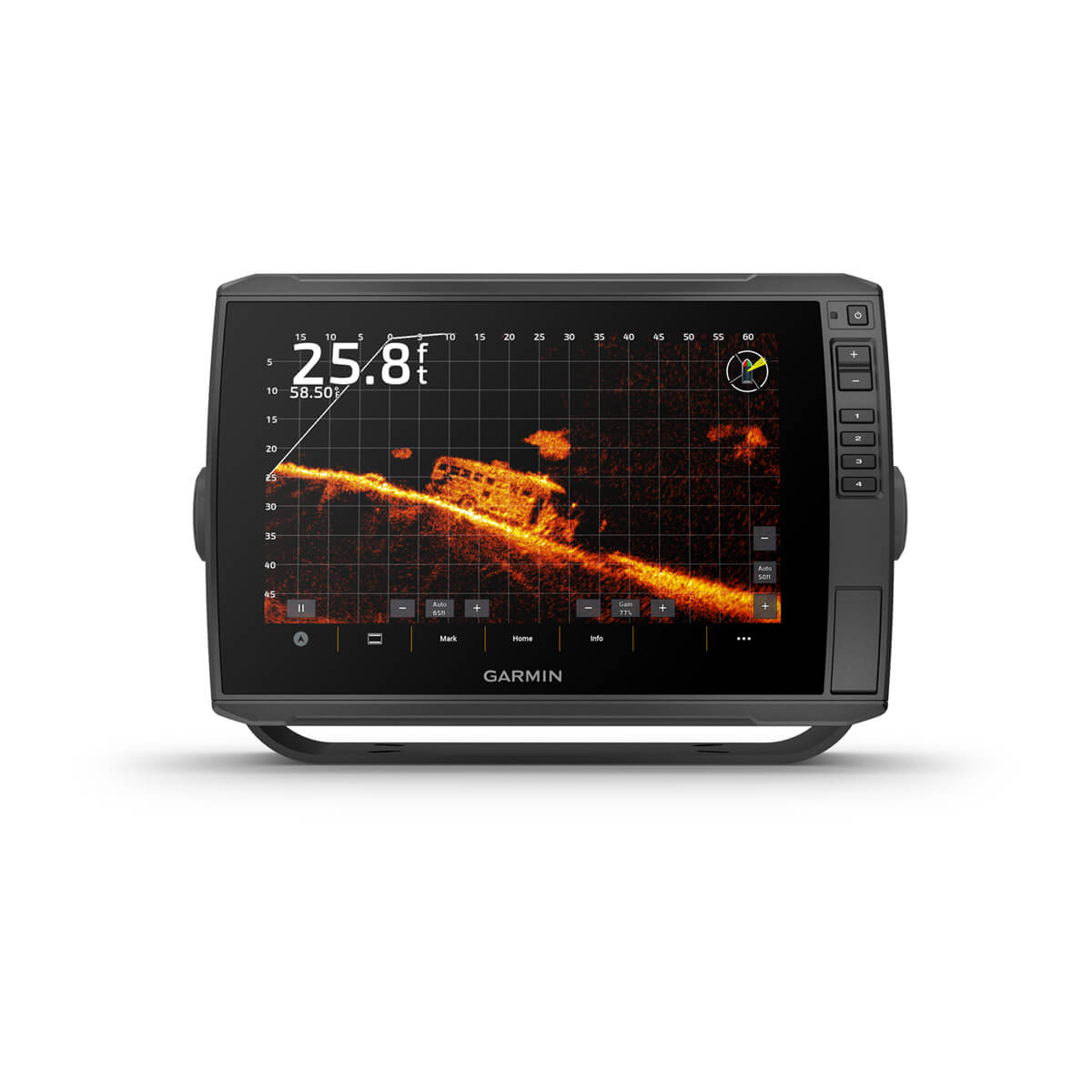
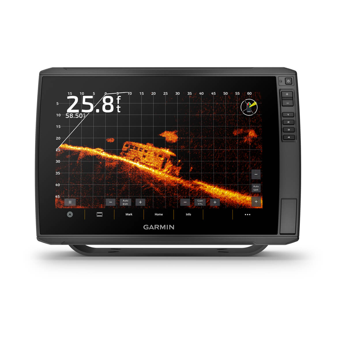
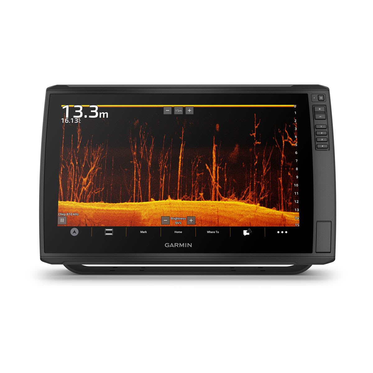
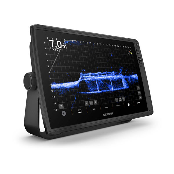
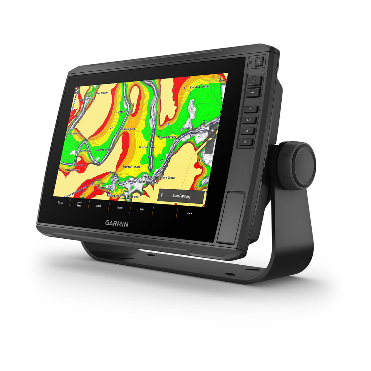
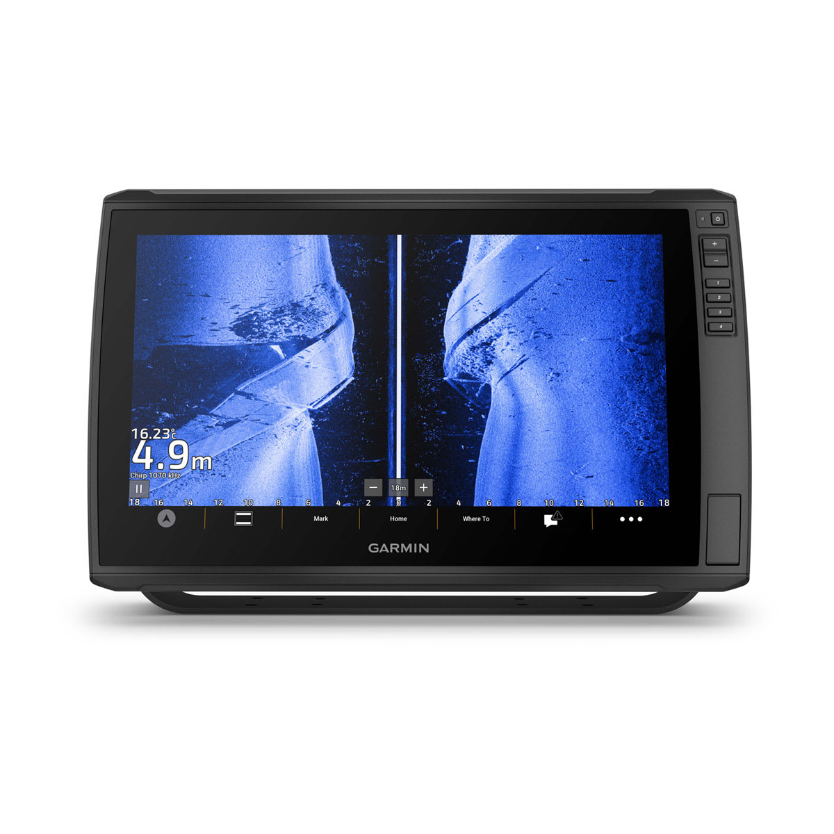
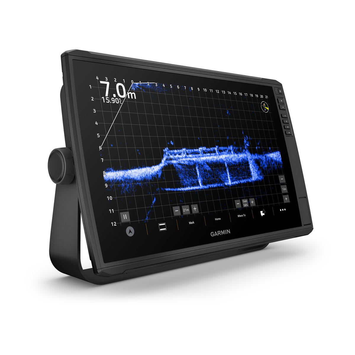
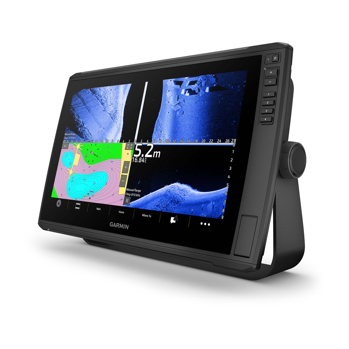
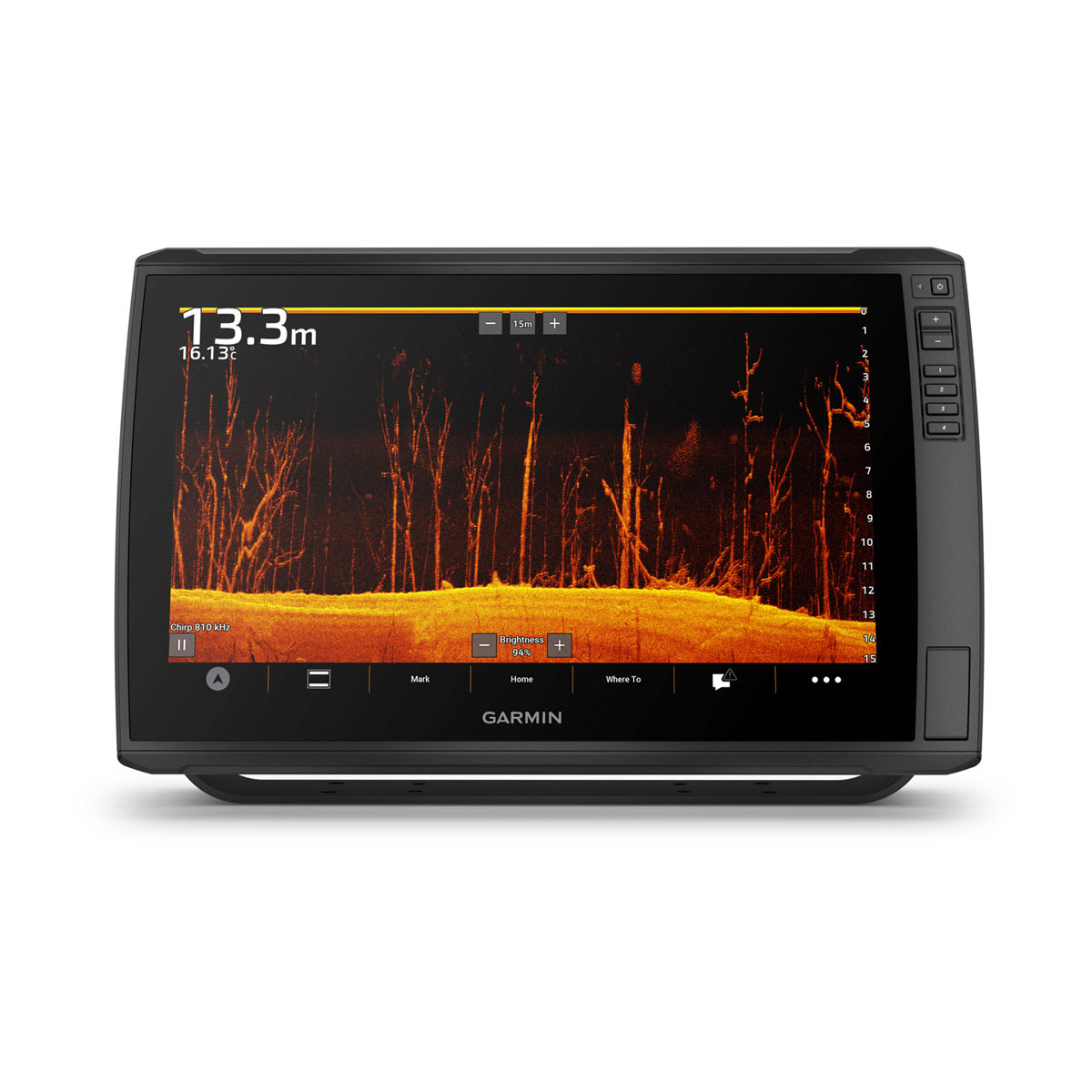
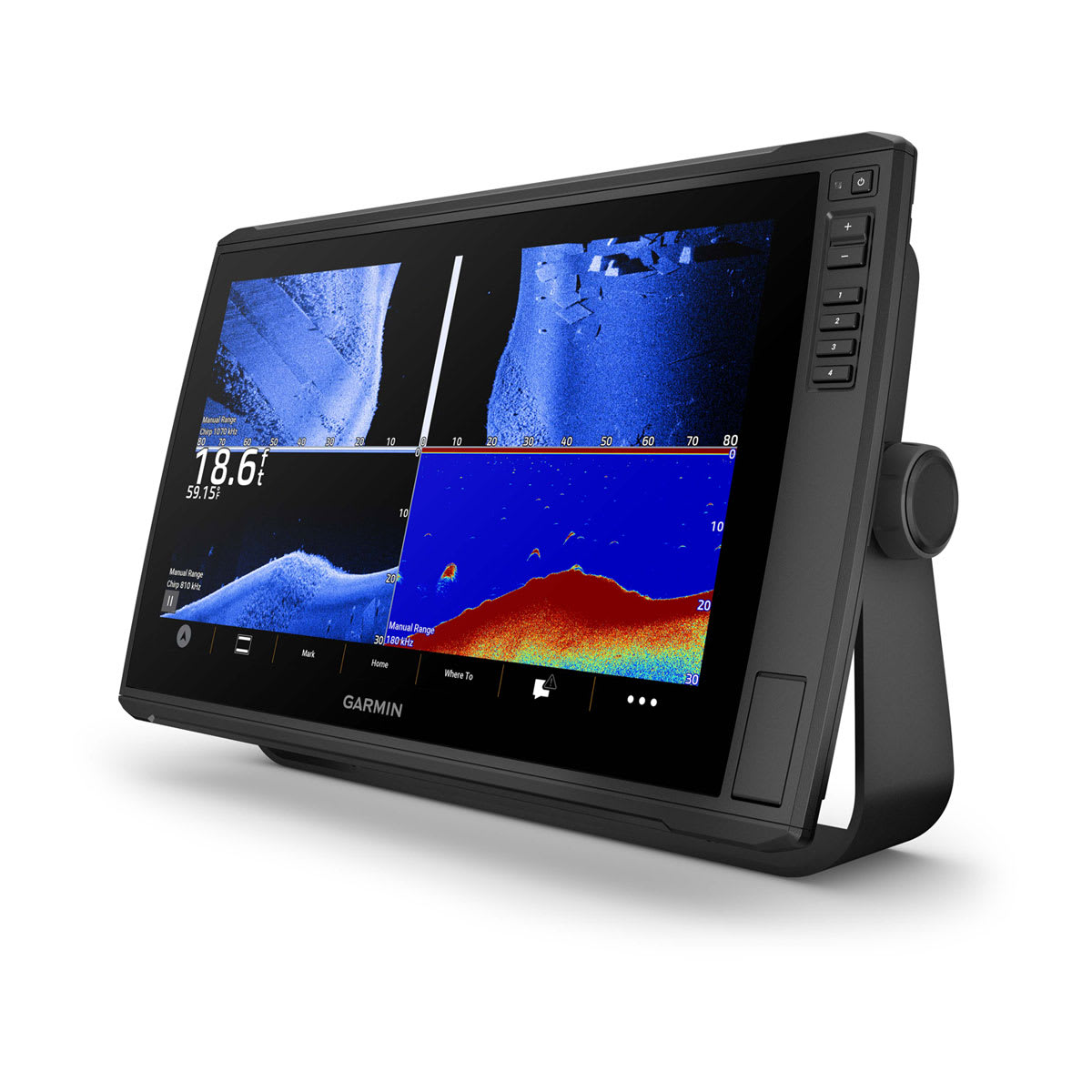
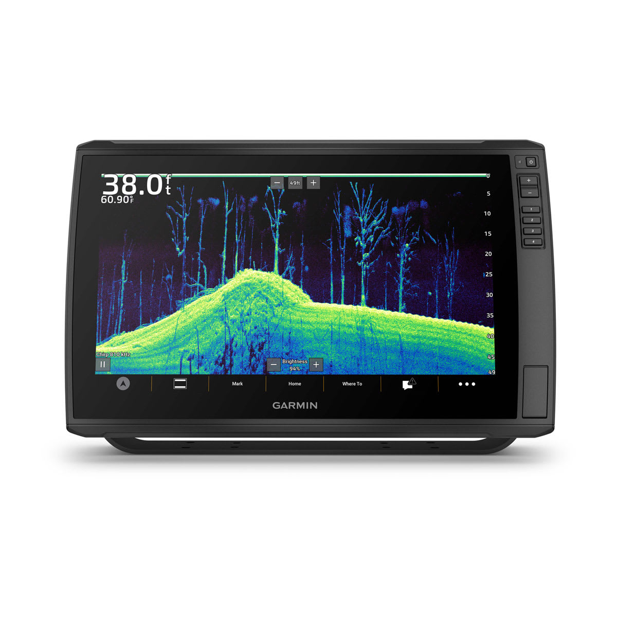
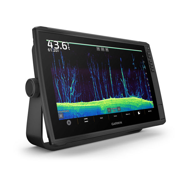
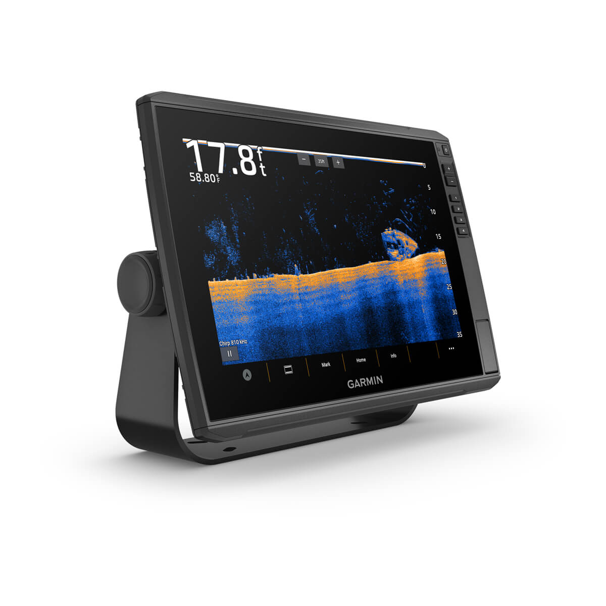
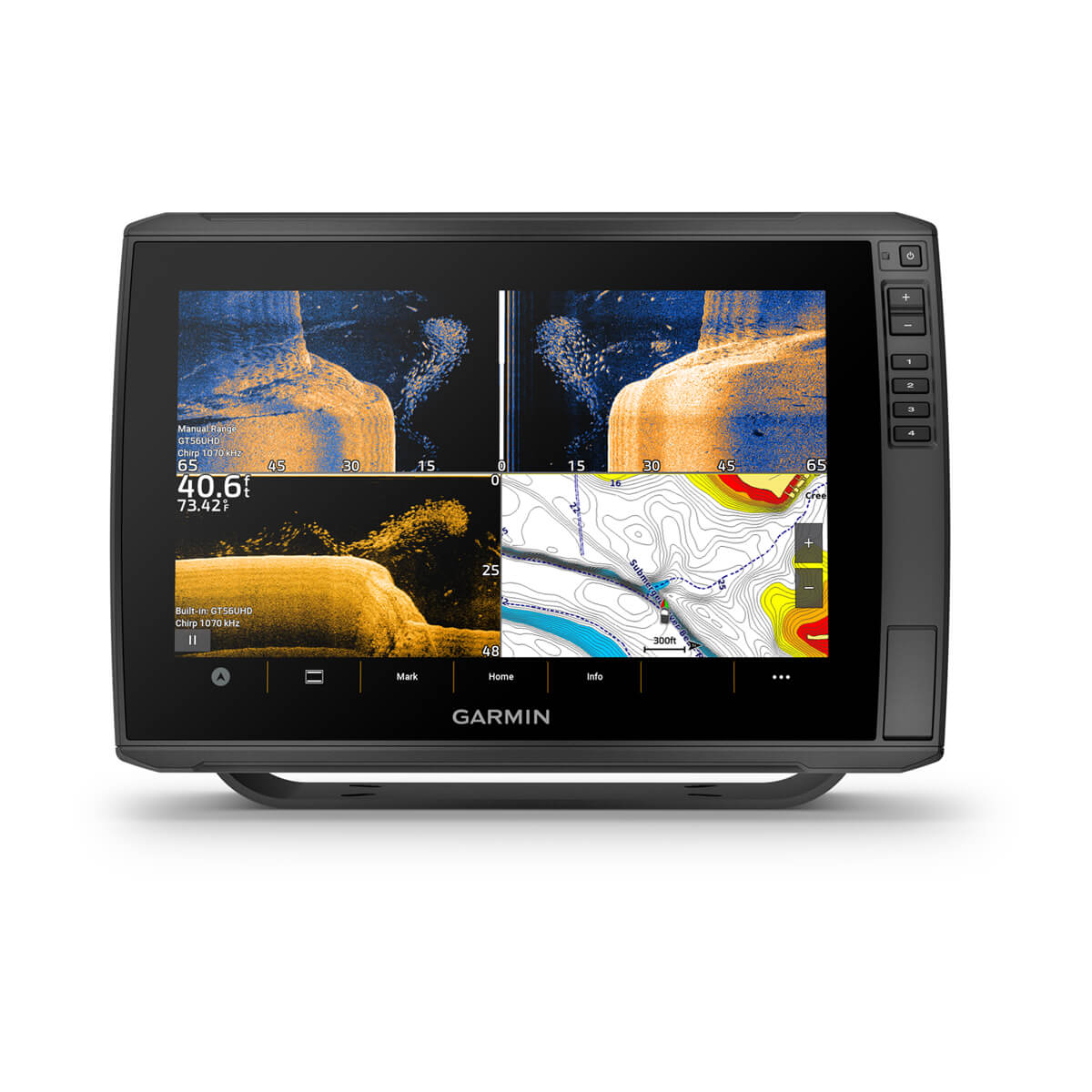
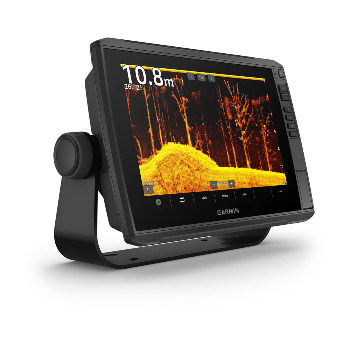
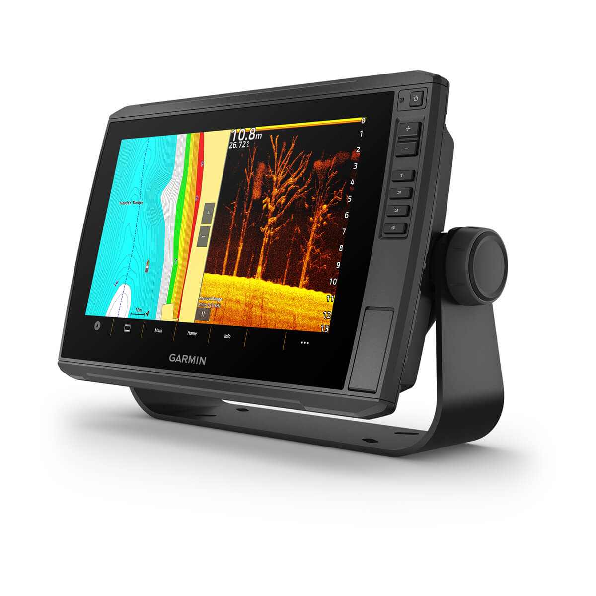
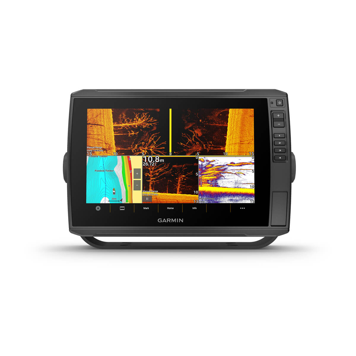
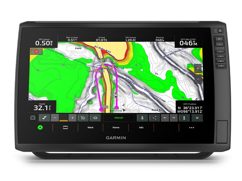
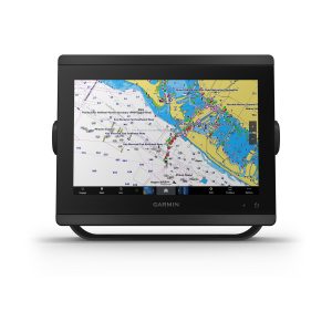
Designed with the serious angler in mind, this 16-inch chartplotter with a full HD resolution display brings the ultimate in big-picture clarity, brightness and readability to your navigation mapping and sonar returns. Select models come preloaded with Garmin Navionics+™ mapping. Plus, there’s support for the full line of LiveScope™ sonars1 as well as Ultra High-Definition scanning sonars and CHIRP traditional sonar.

16-INCH TOUCHSCREEN WITHKEYED ASSIST

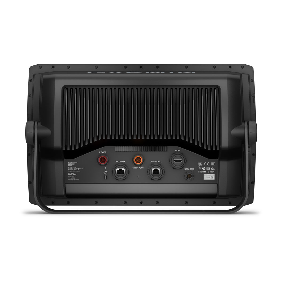
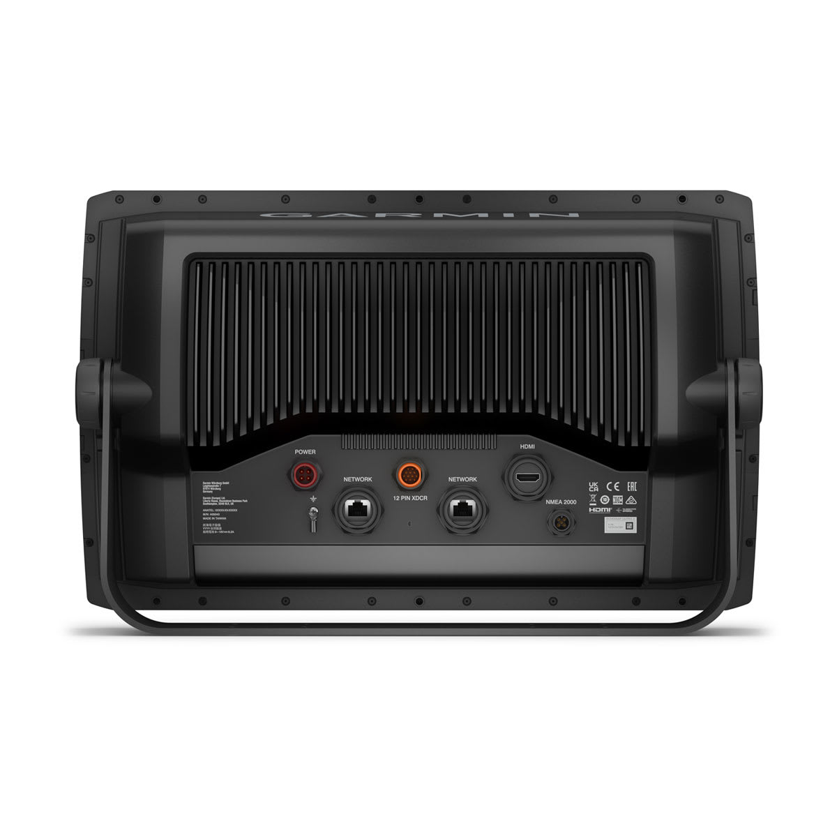
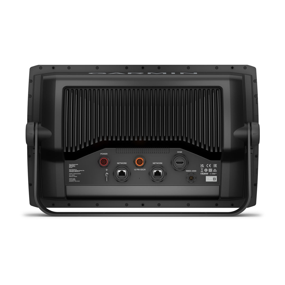
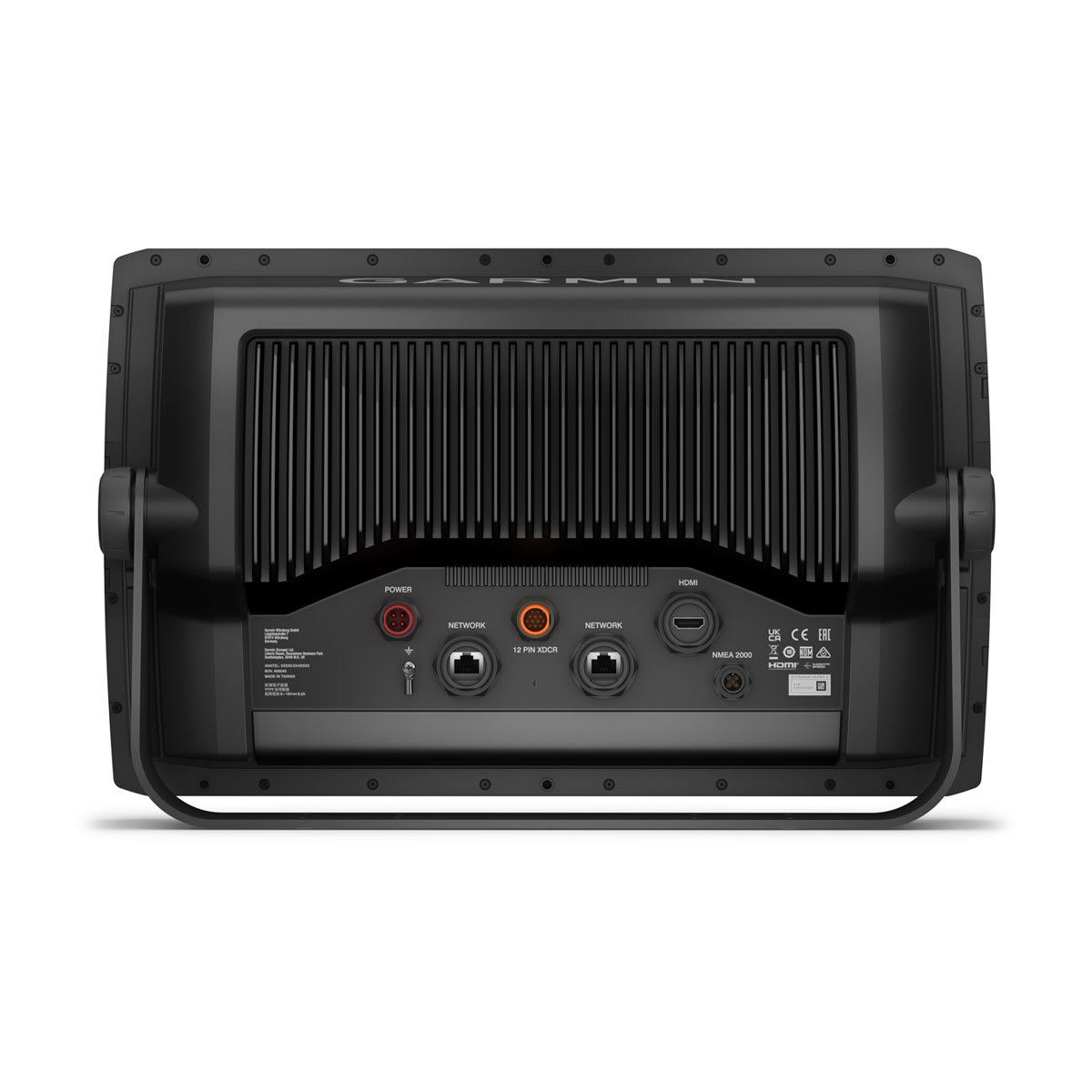
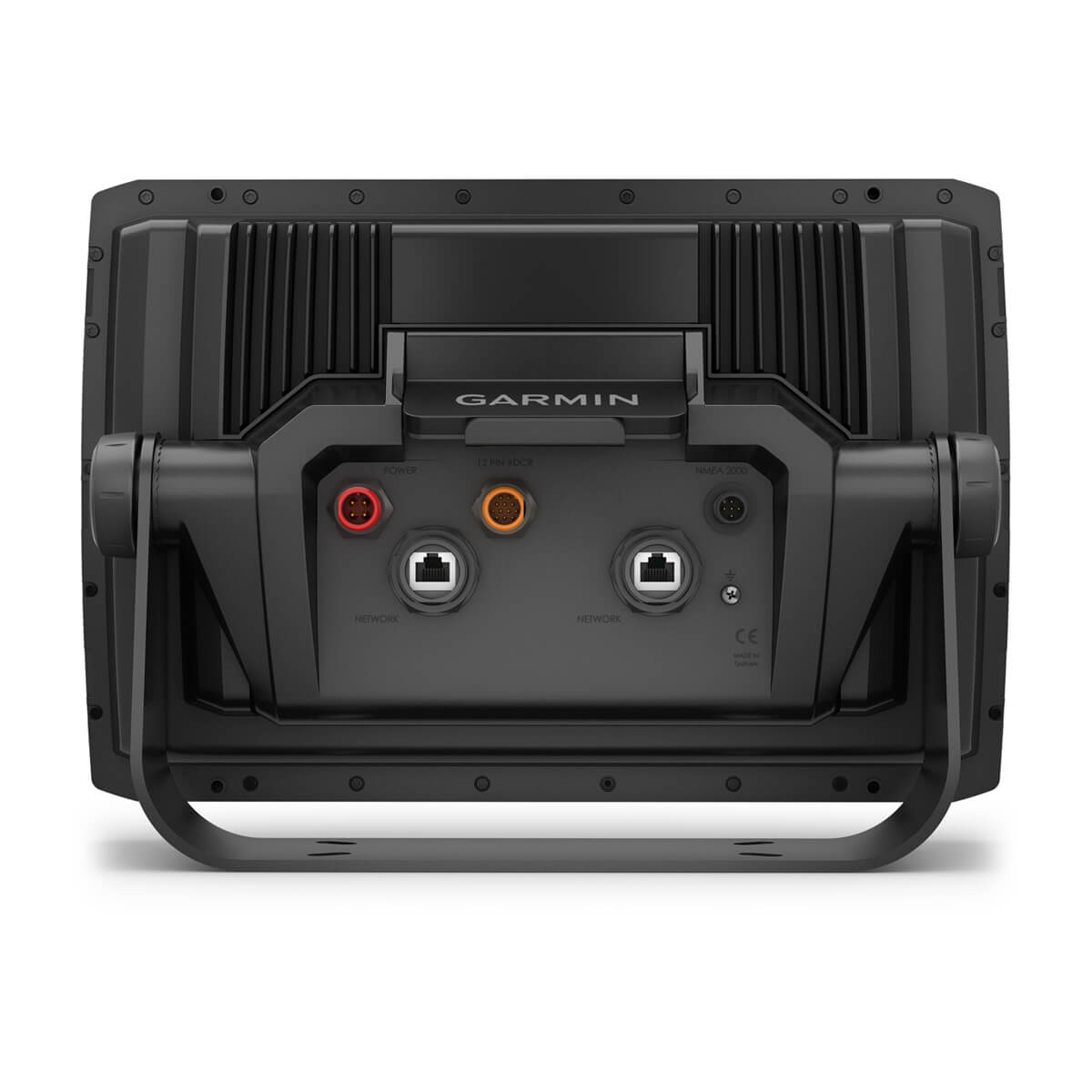
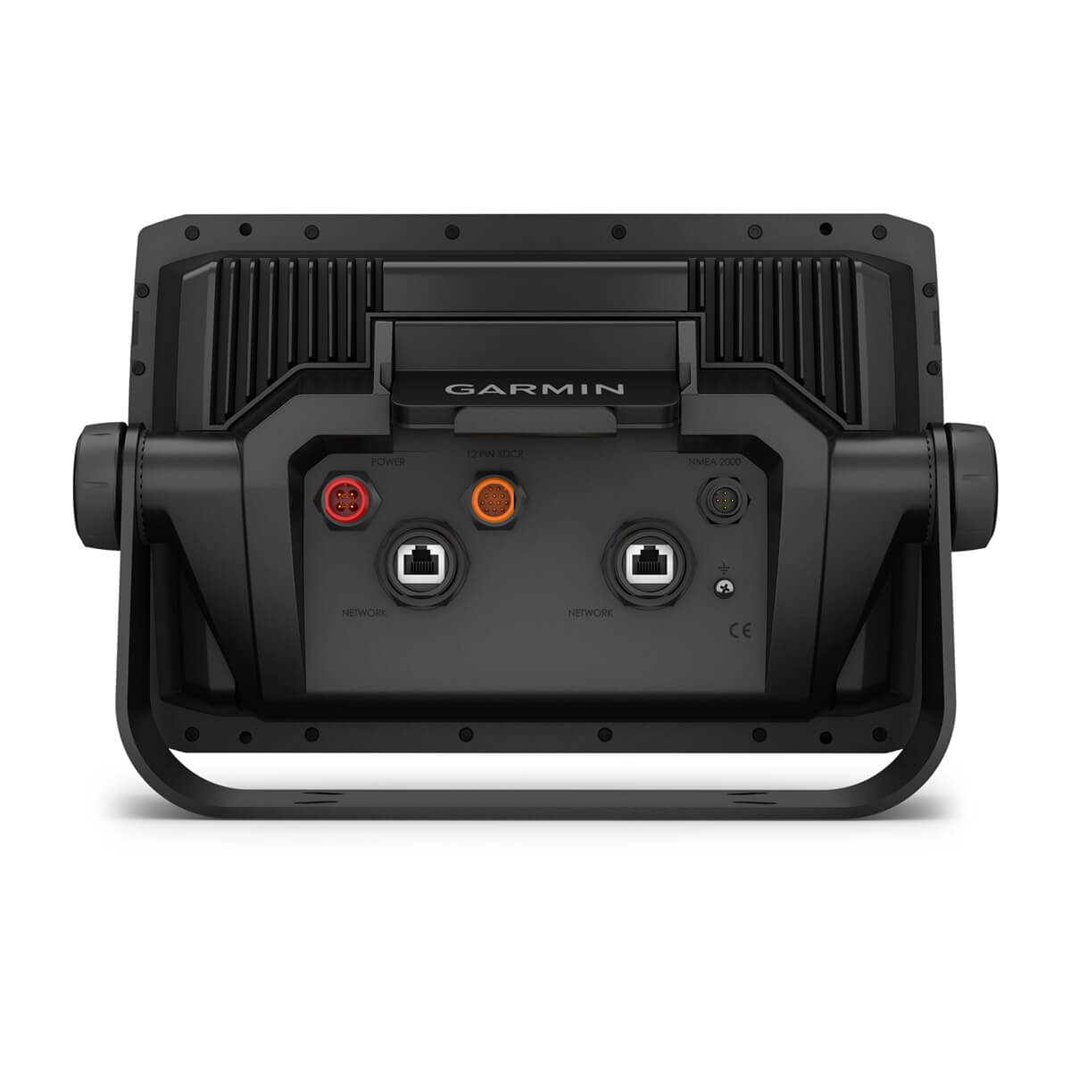
HDMI OUTPUT CONNECTORS FOR SCREEN SHARING

BLUETOOTH® TECHNOLOGY ENABLES VOICE CONTROL FEATURES

SUPPORTS LIVESCOPE SONAR1 AND MORE

WIRELESSLY NETWORK; SHARE SONAR, WAYPOINTS AND ROUTES2

MULTI-BAND GPS FOR SUPERIOR POSITION ACCURACY
WHAT YOU’LL LOVE
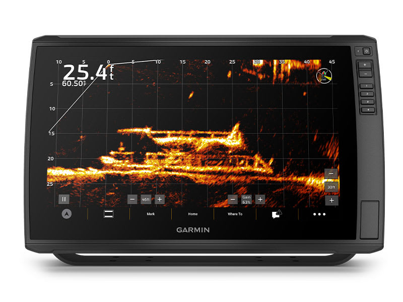
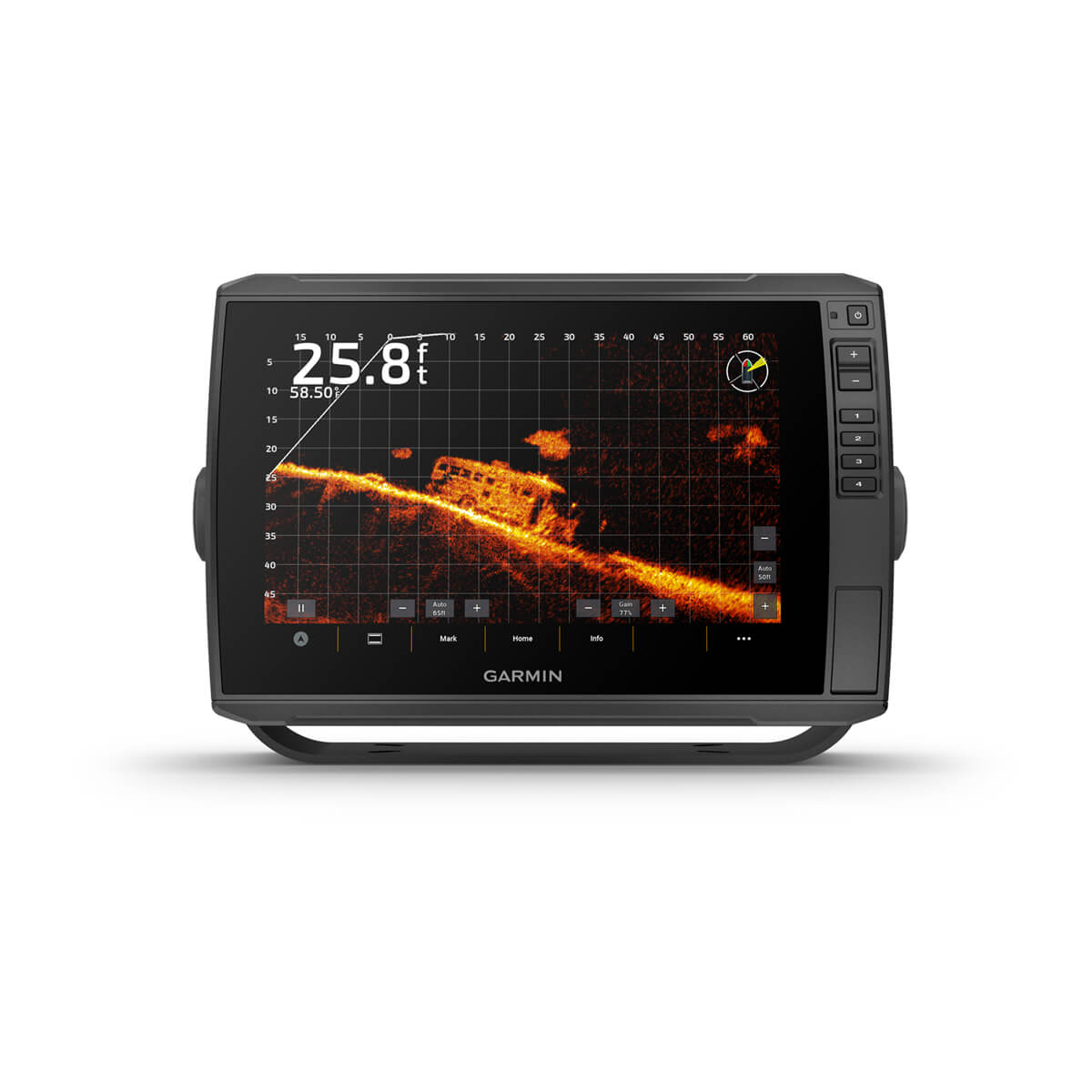
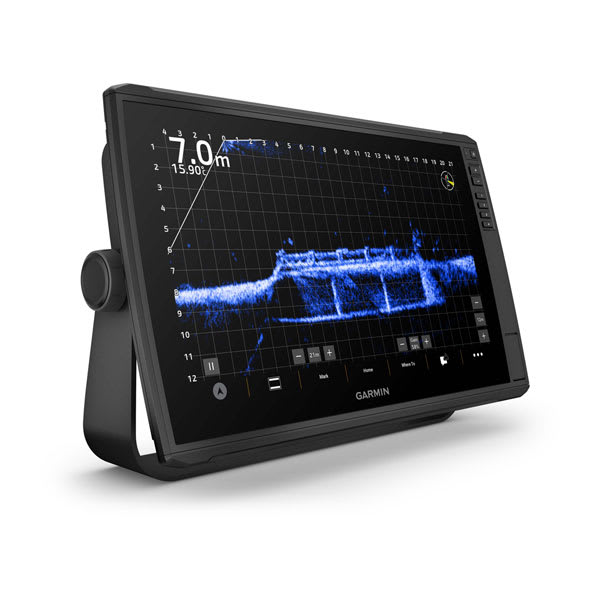
LIVESCOPE SONAR SUPPORT
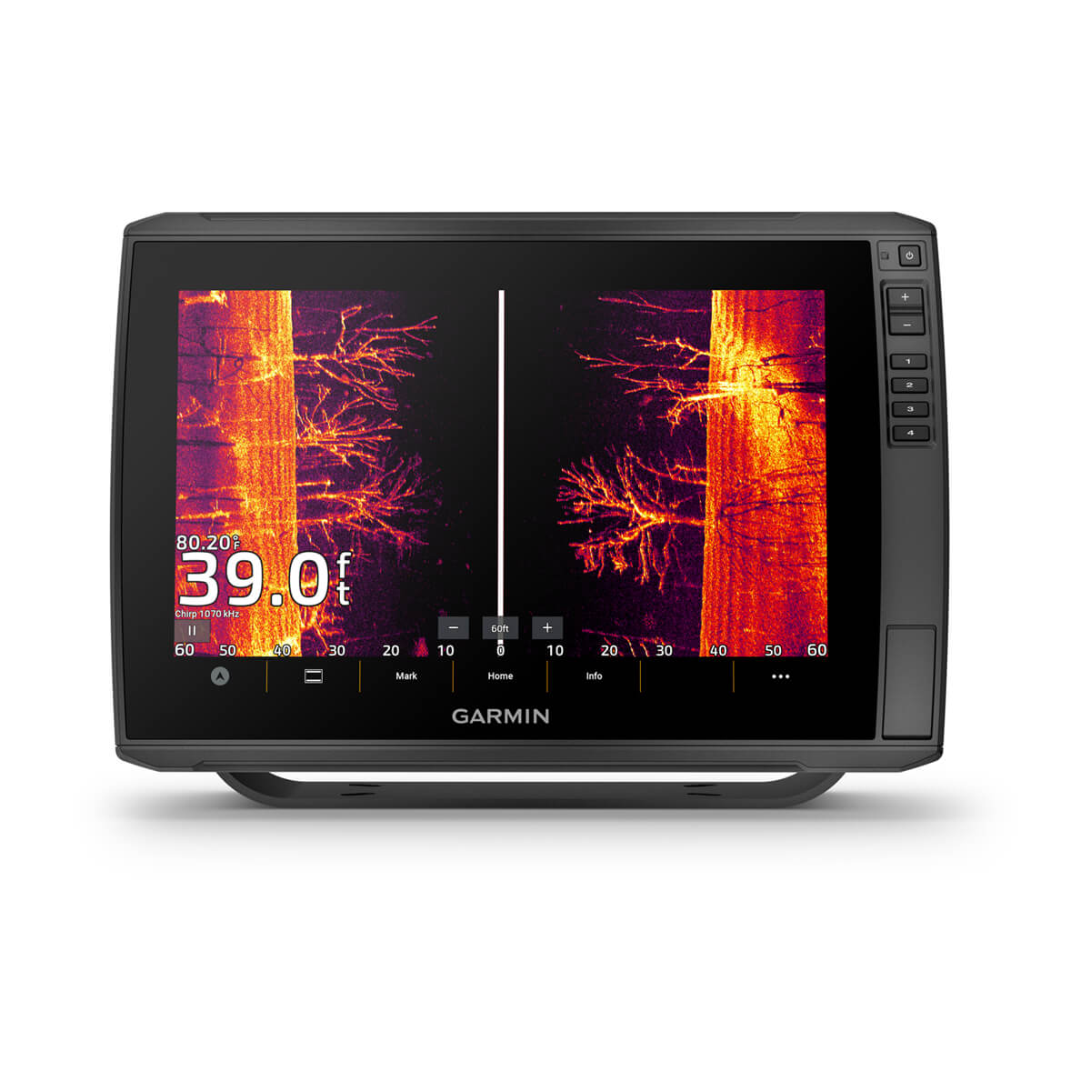
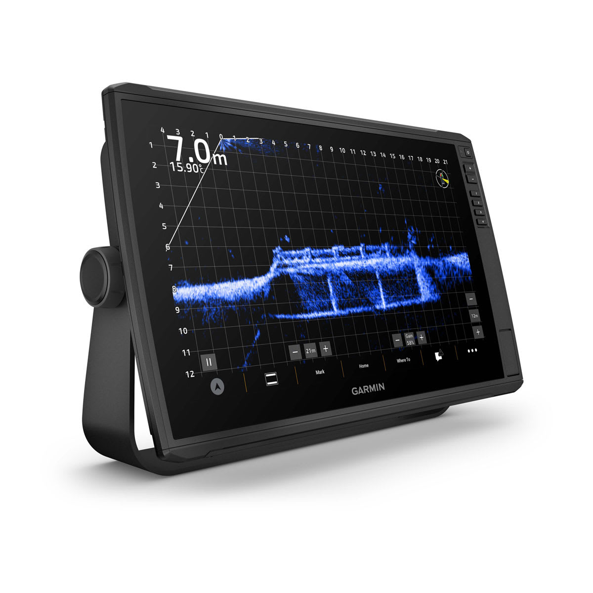
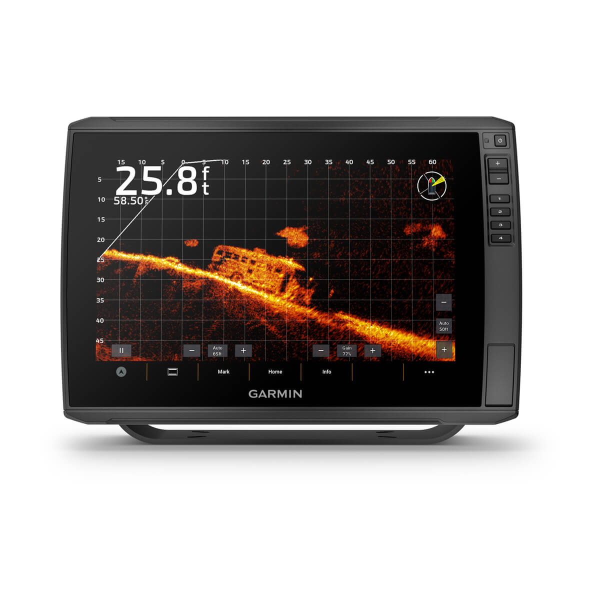
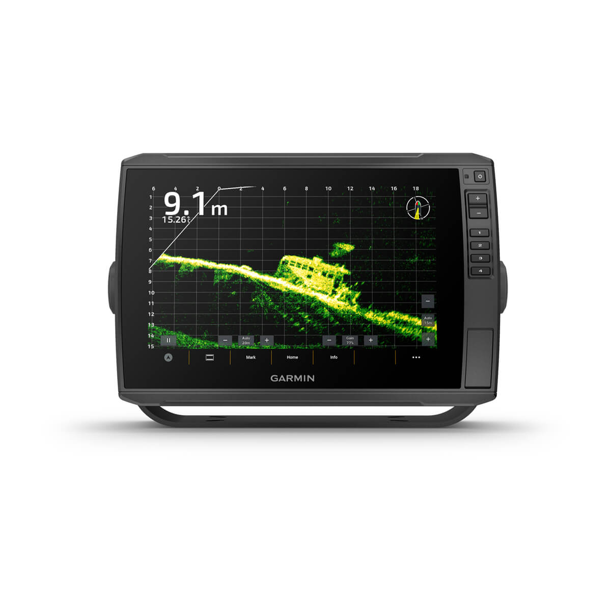
The ECHOMAP Ultra 2 chartplotter series supports the full lineup of LiveScope live-scanning sonar products (transducers sold separately).
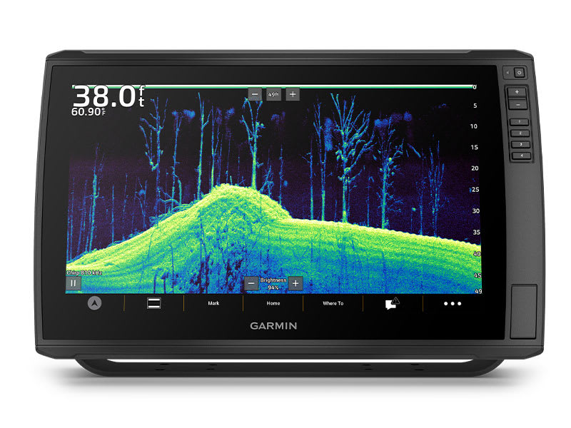
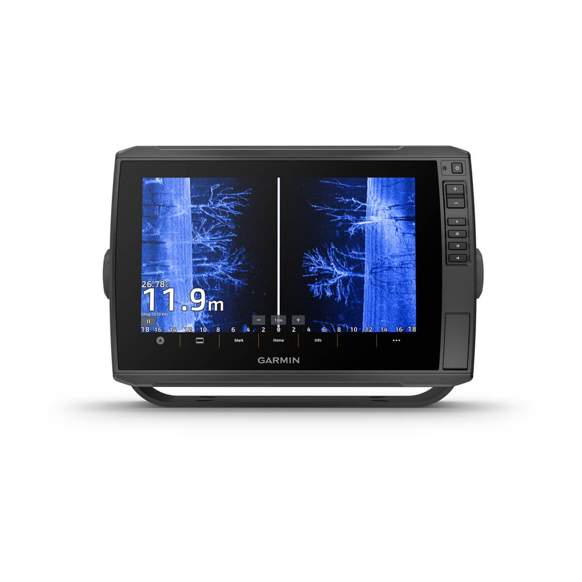
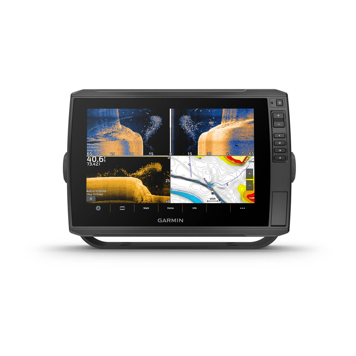
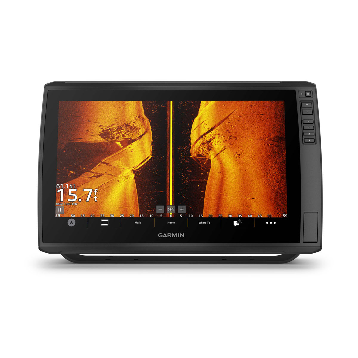
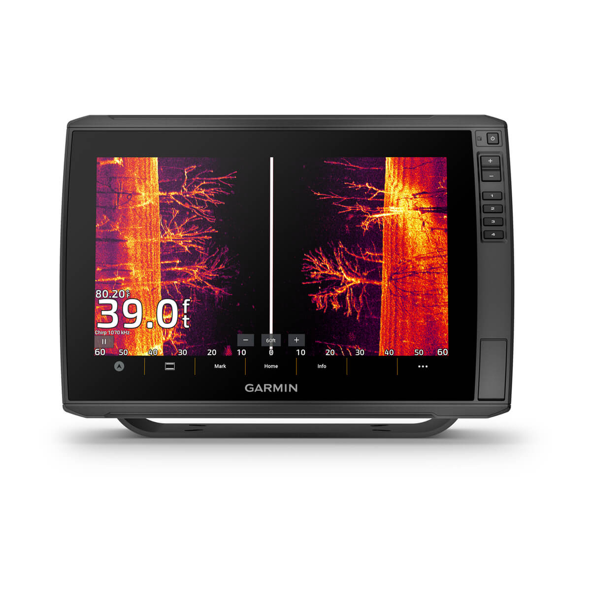
BUILT-IN UHD SONAR
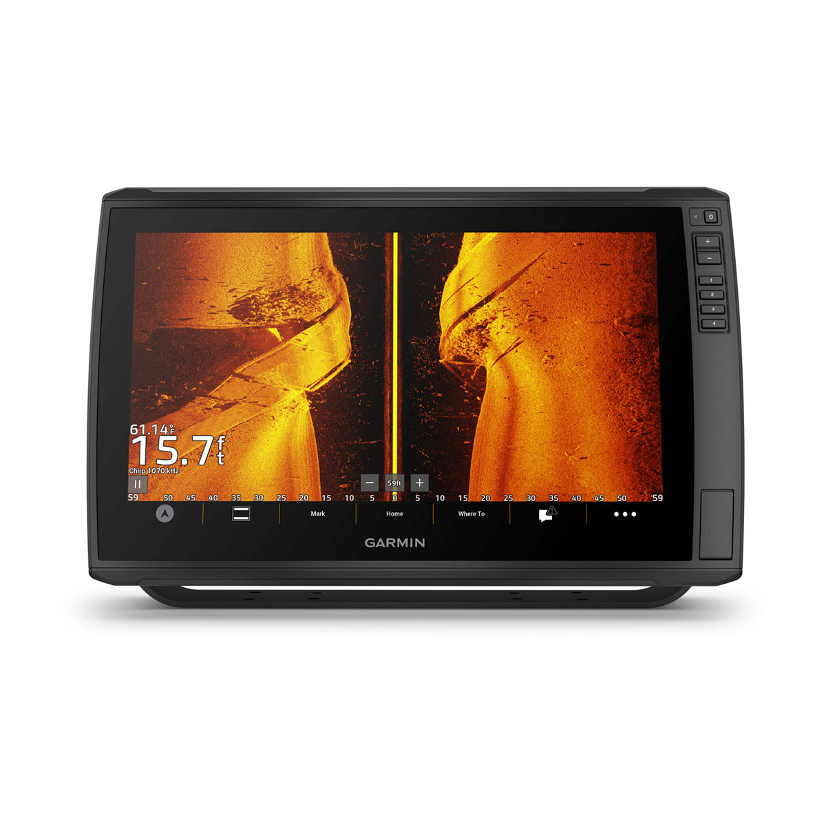
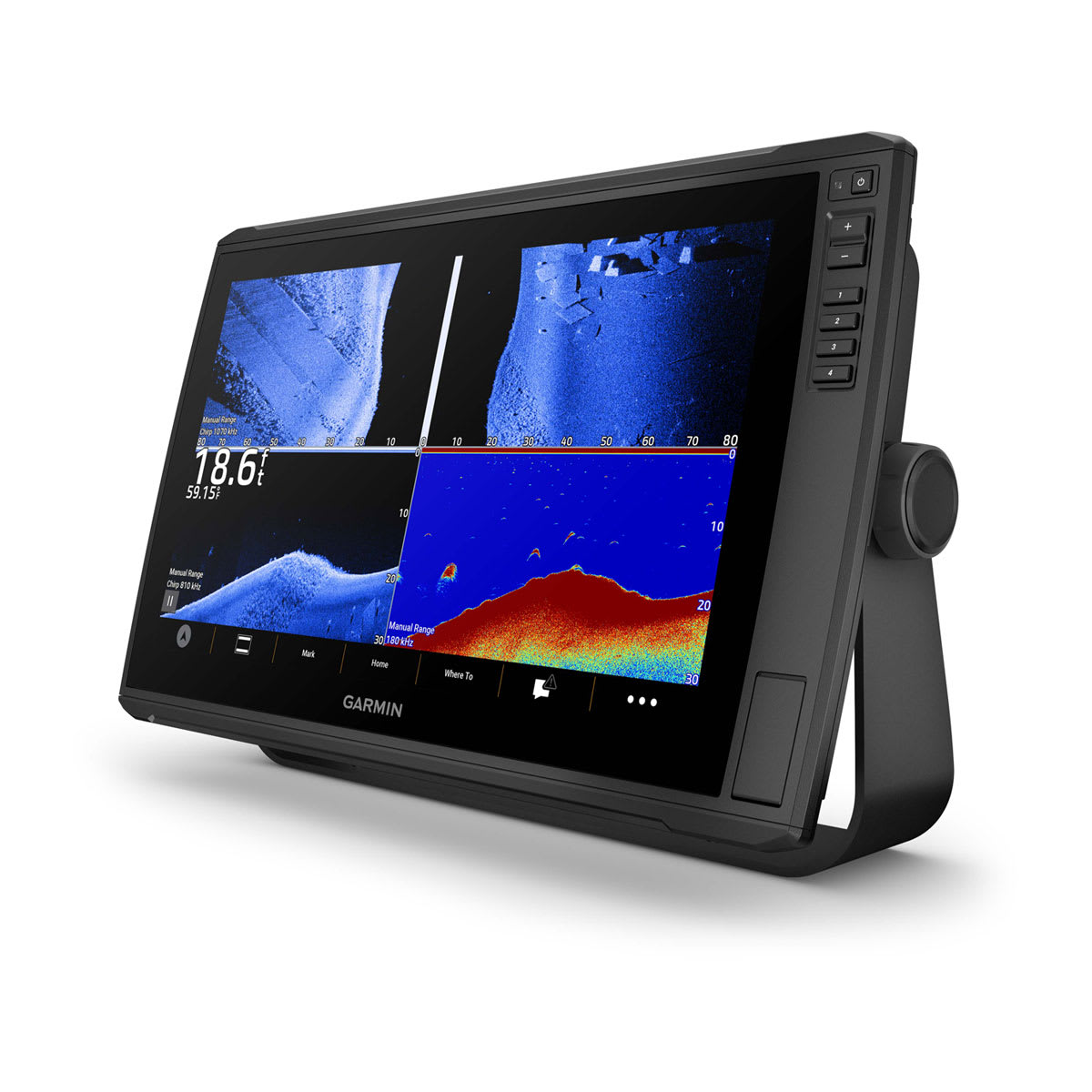
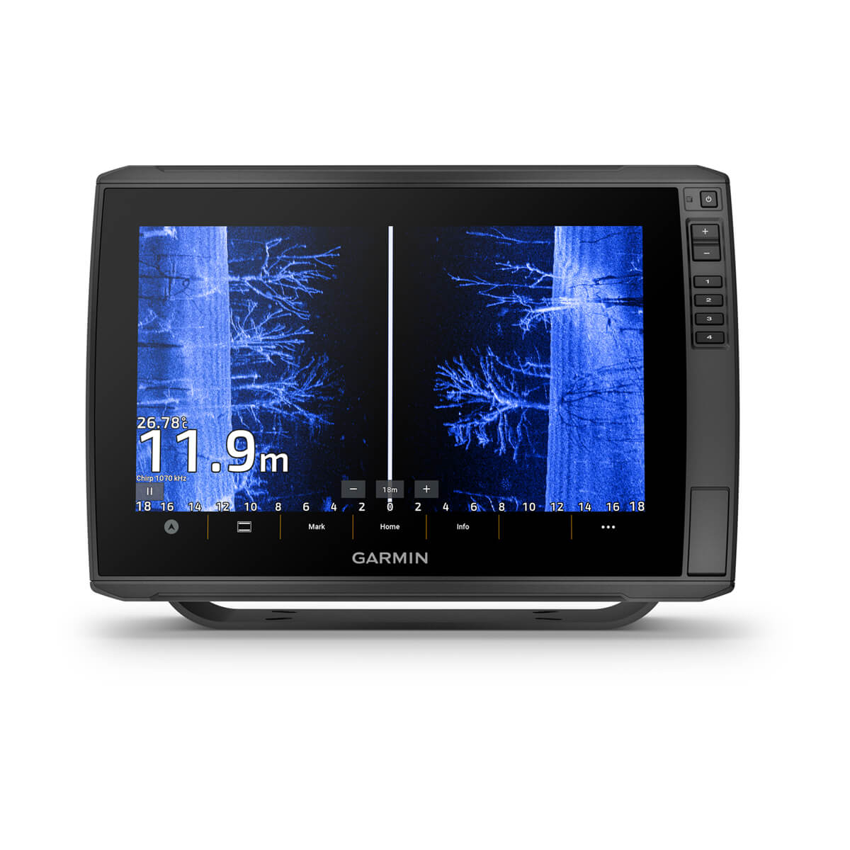
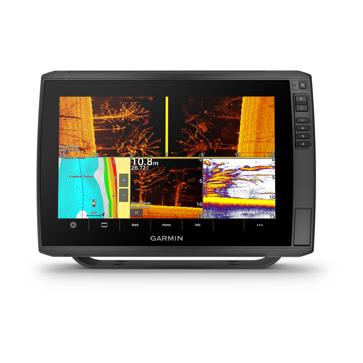
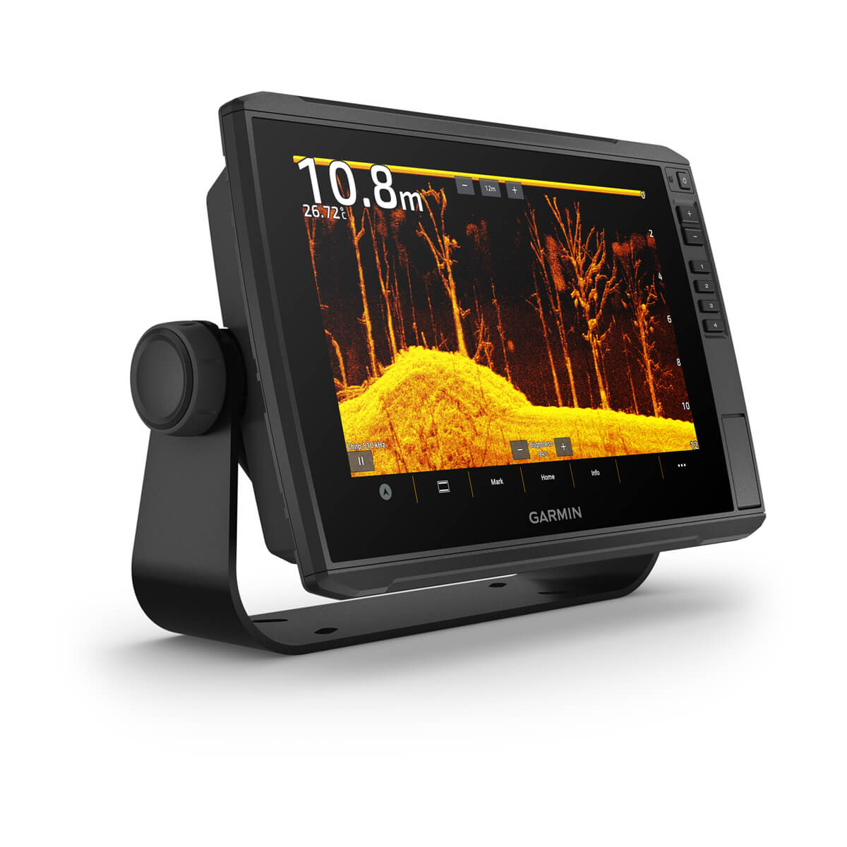
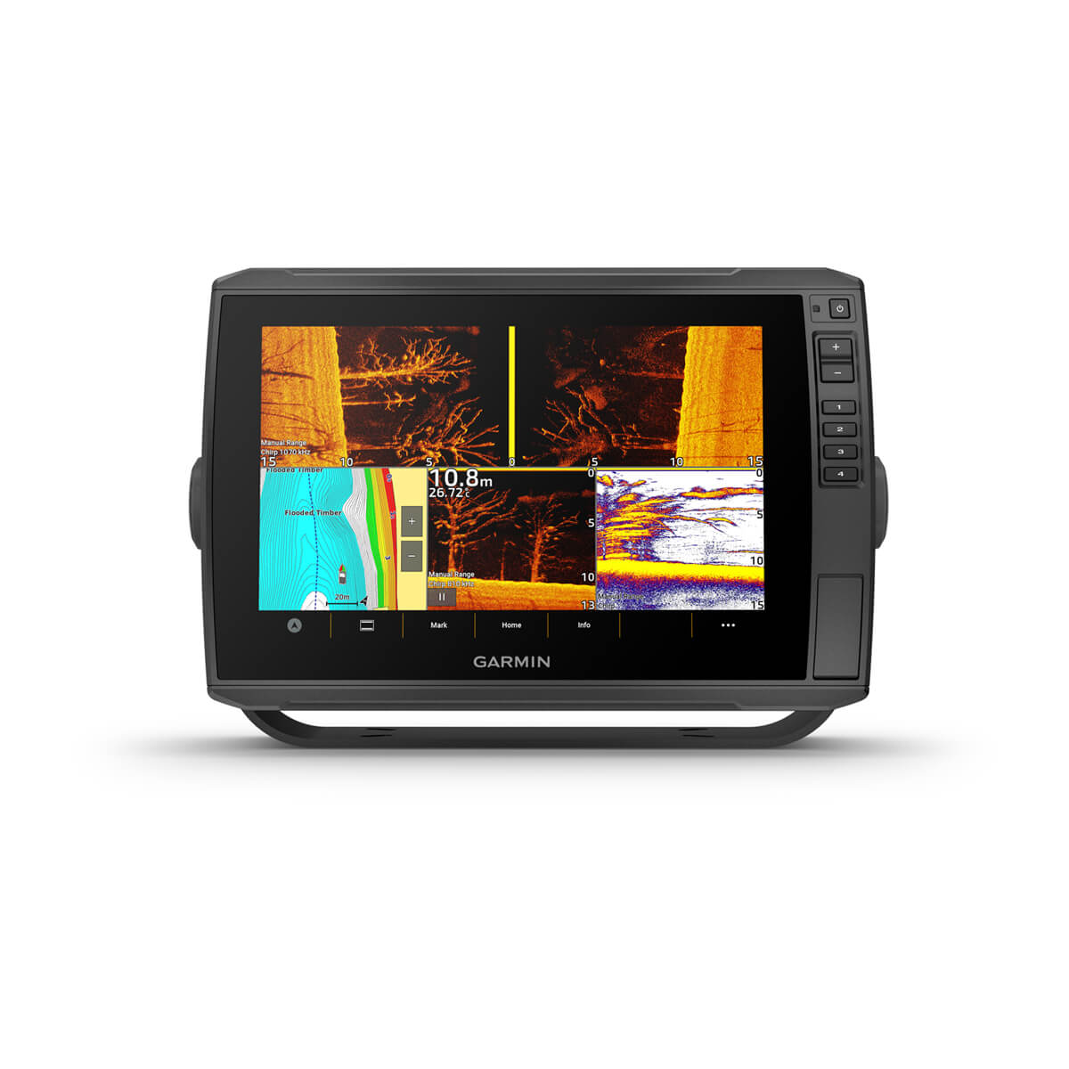
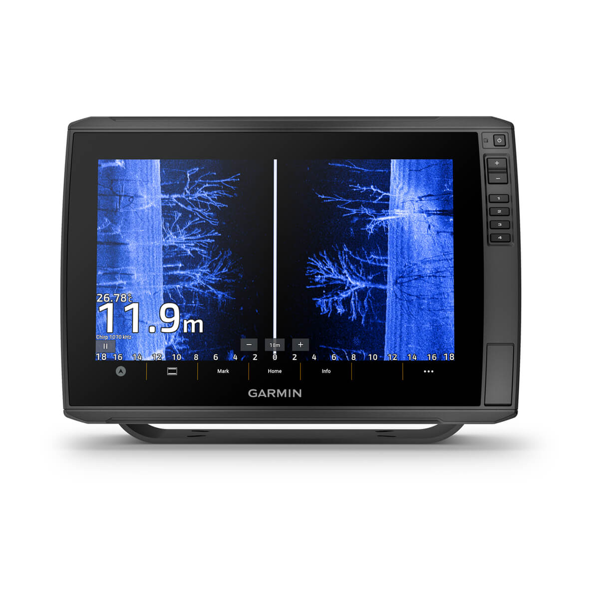
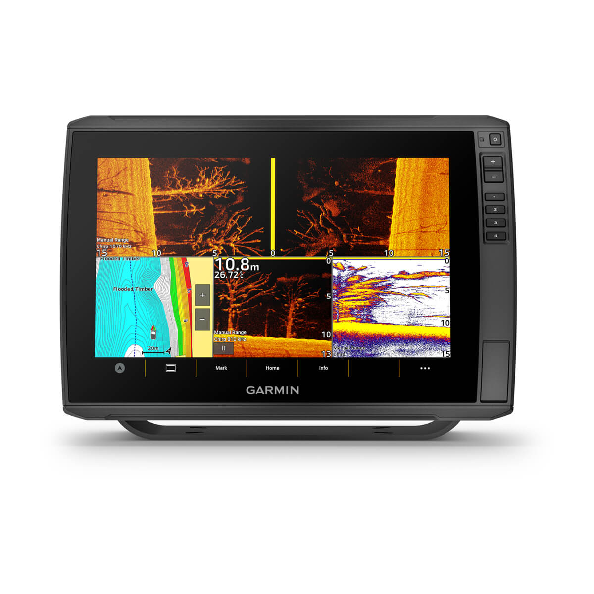
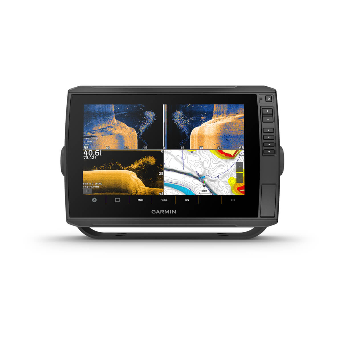
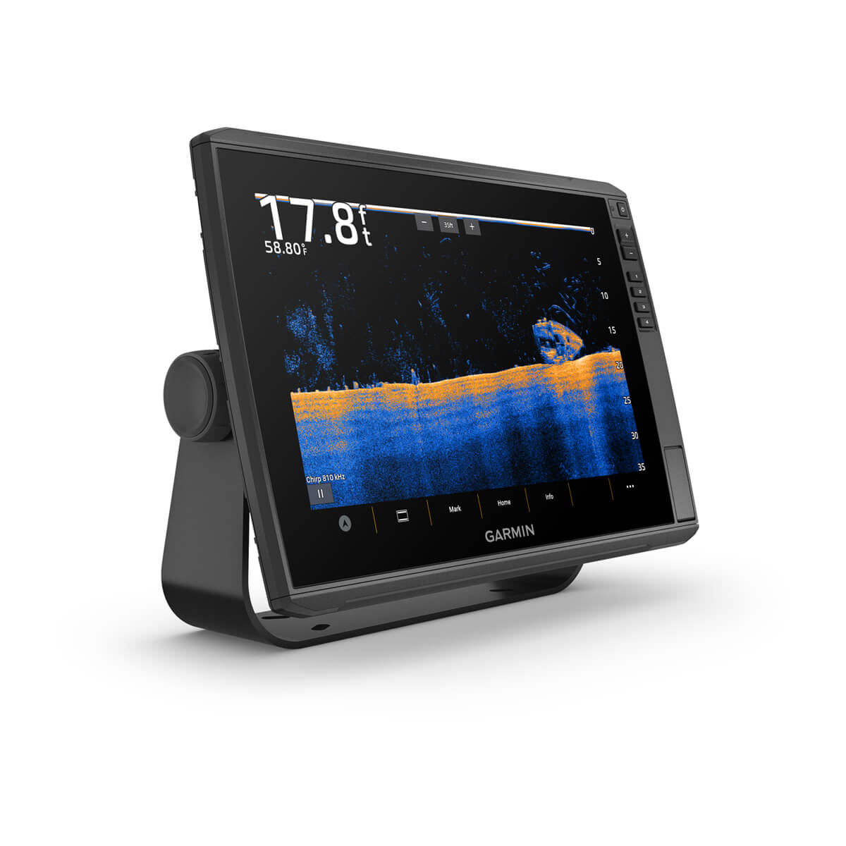
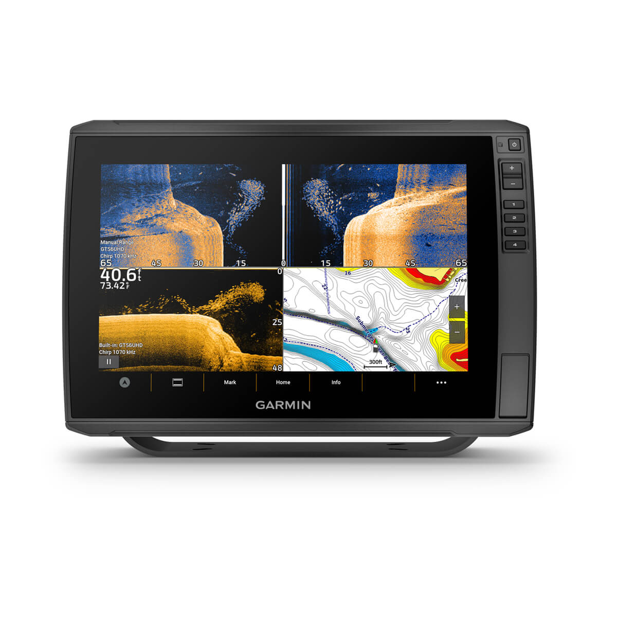
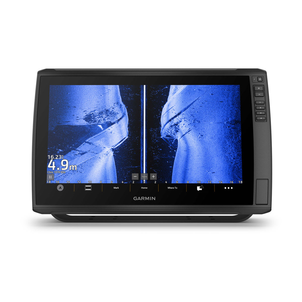
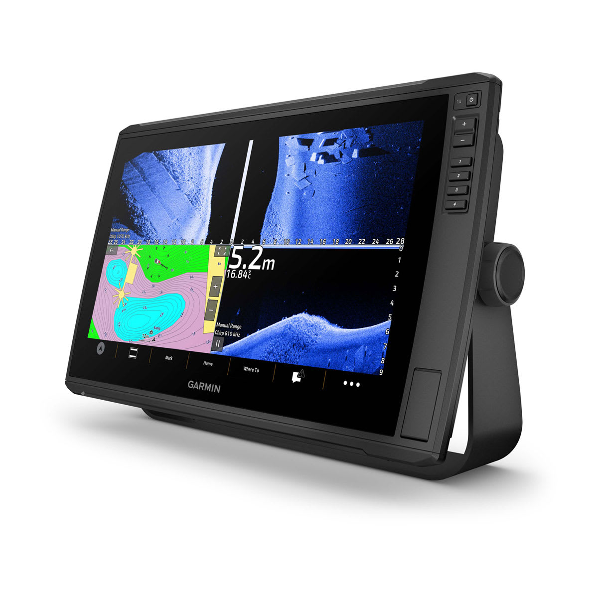
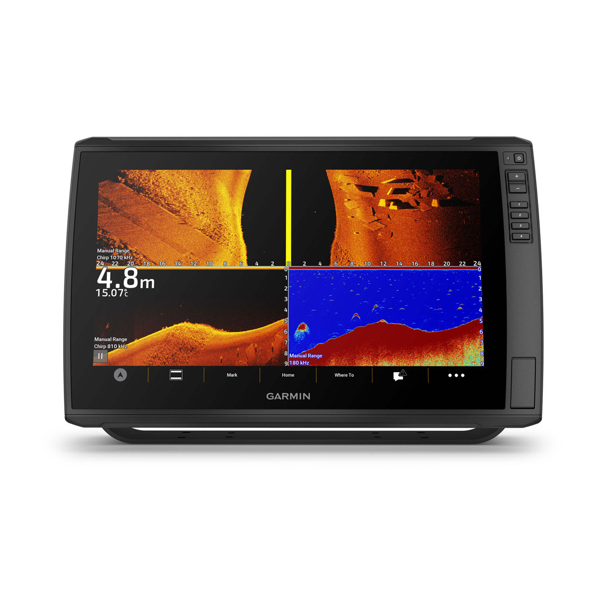
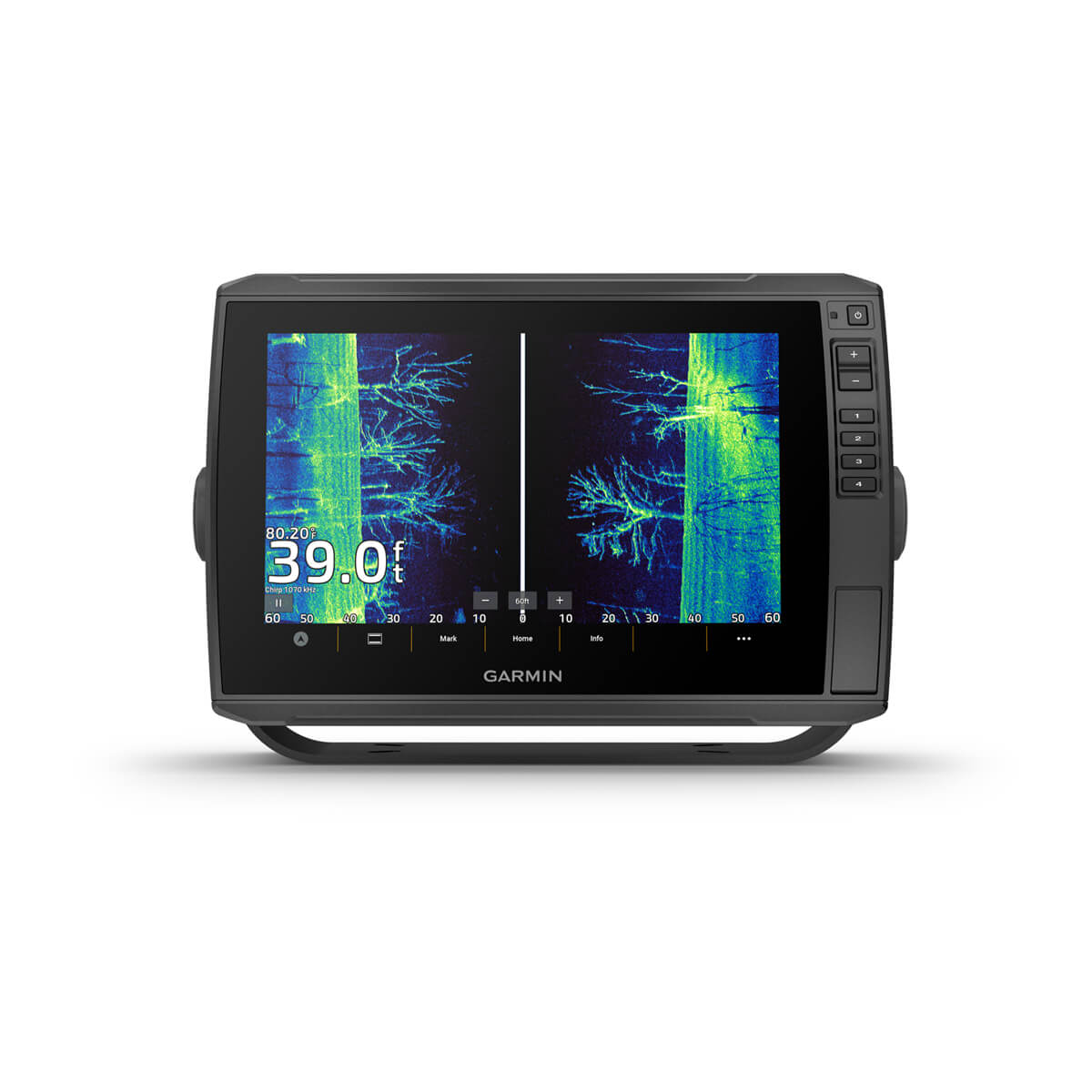
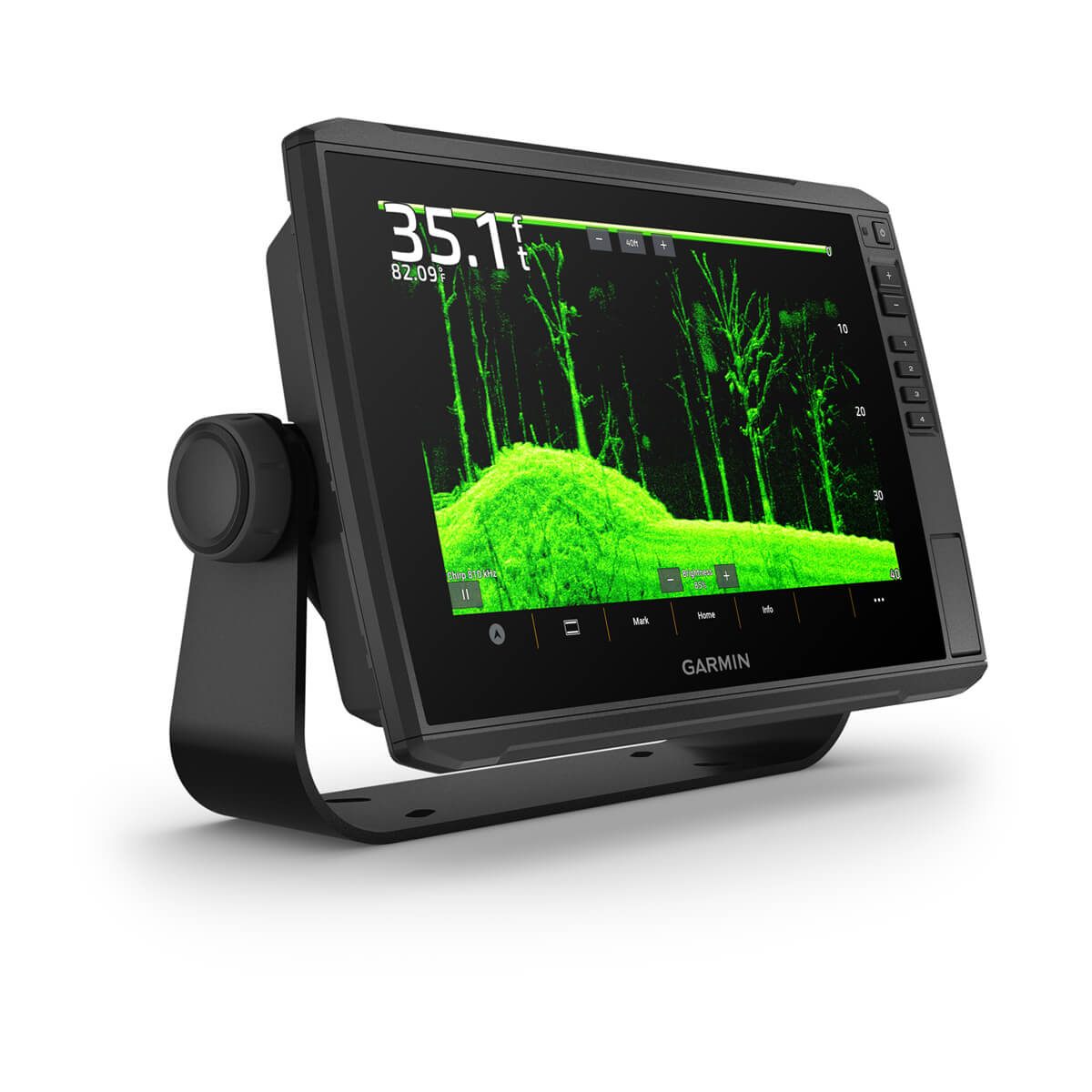
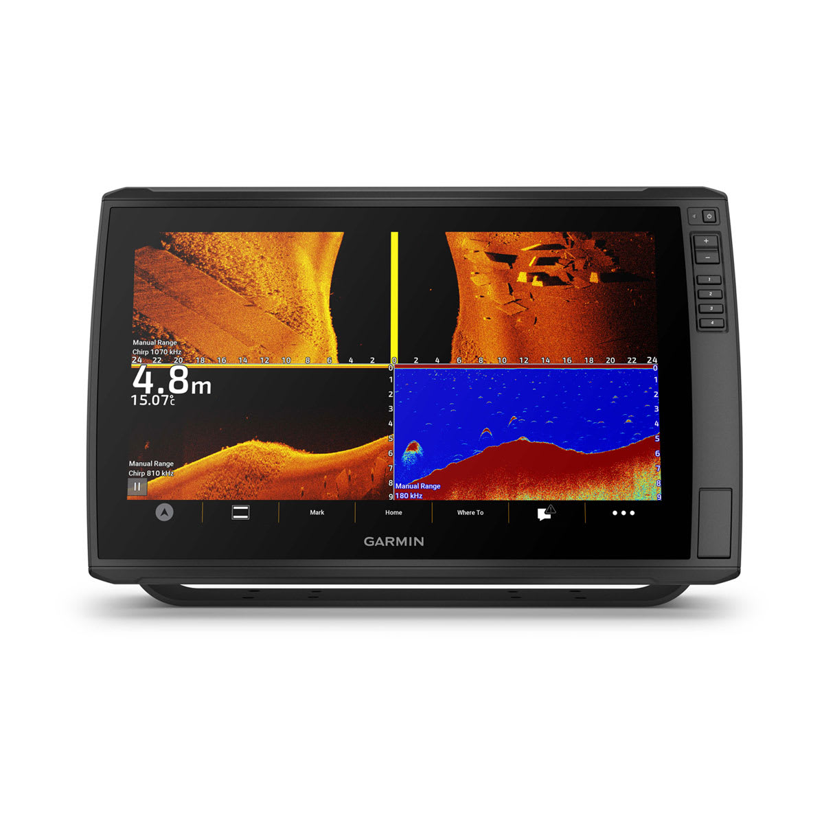
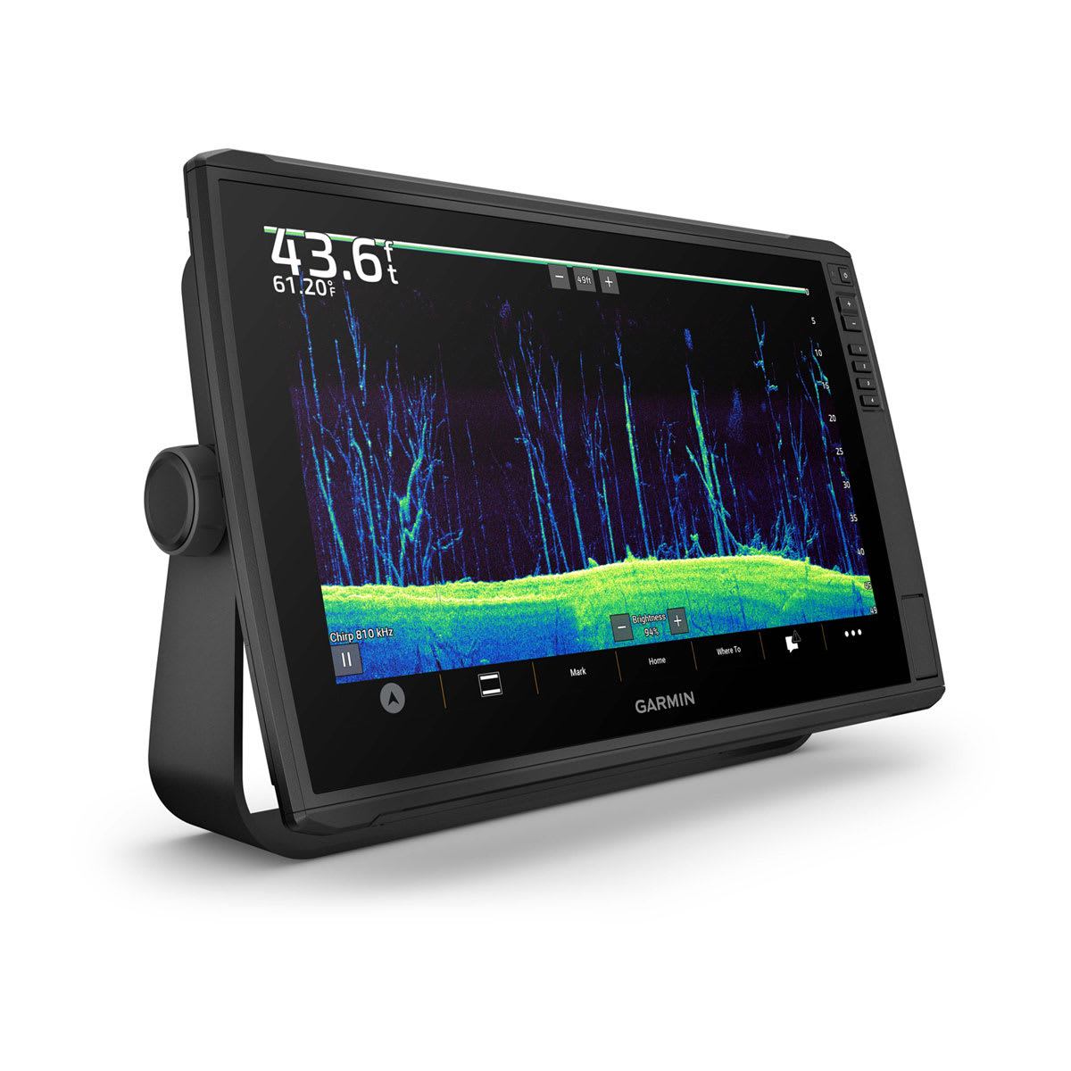
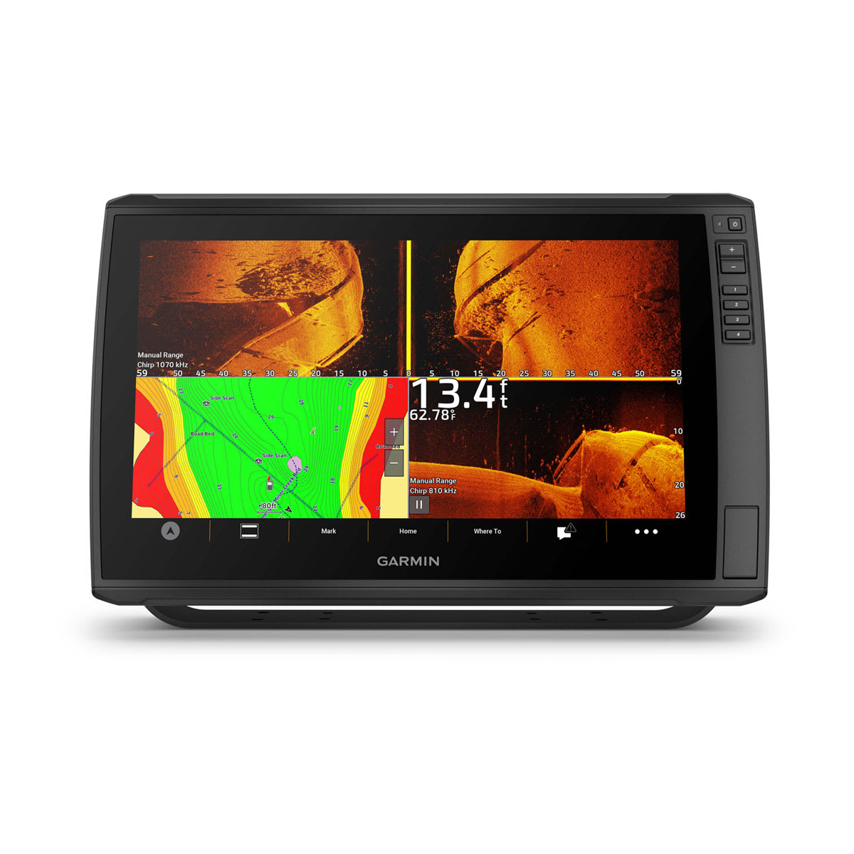
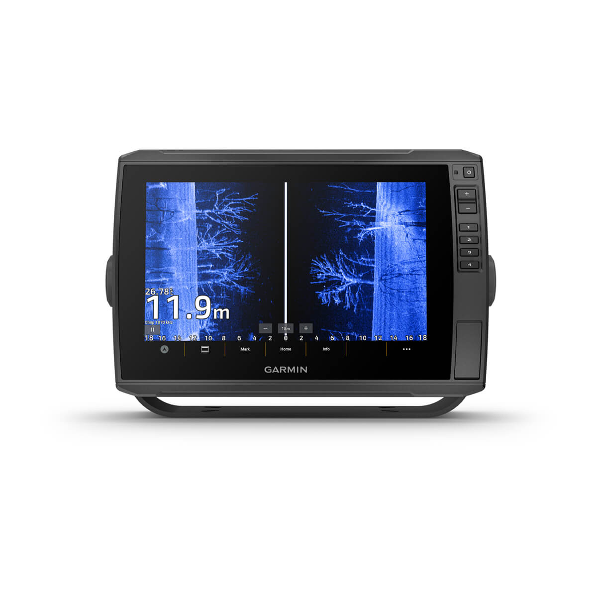
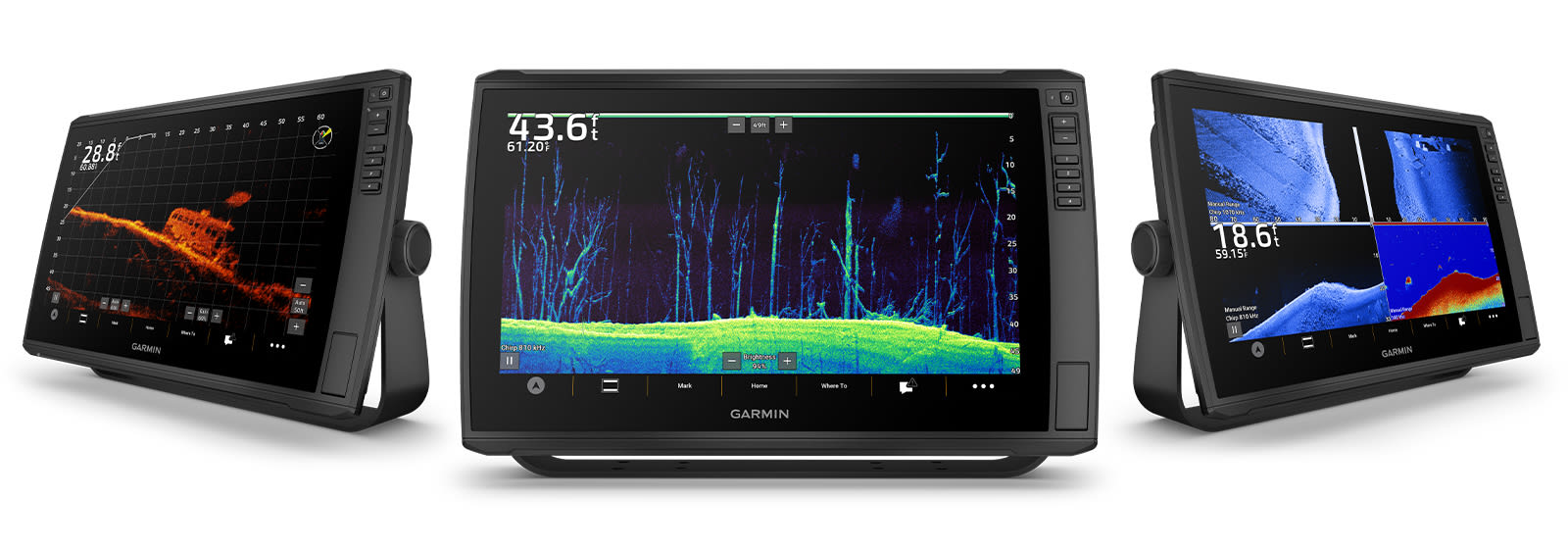
Select models are bundled with a GT56 transducer that provides Garmin CHIRP traditional sonar and Ultra High-Definition ClearVü™ and SideVü™ scanning sonars for photo-like images of what’s beneath the surface.
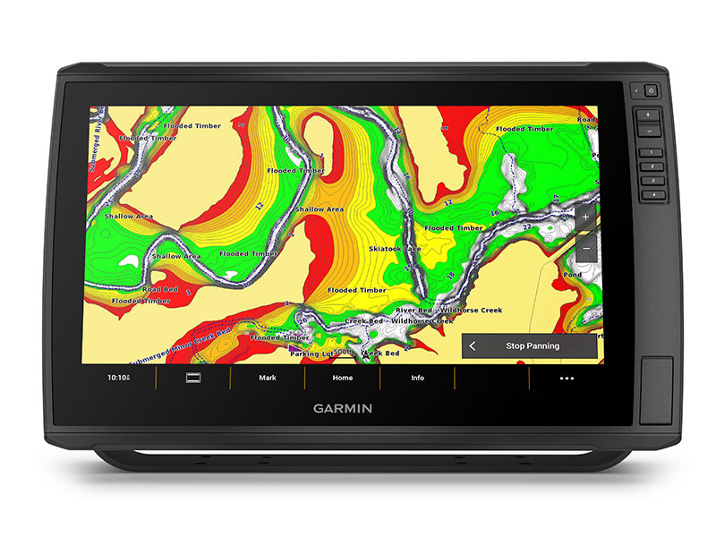
PRELOADED CHARTS
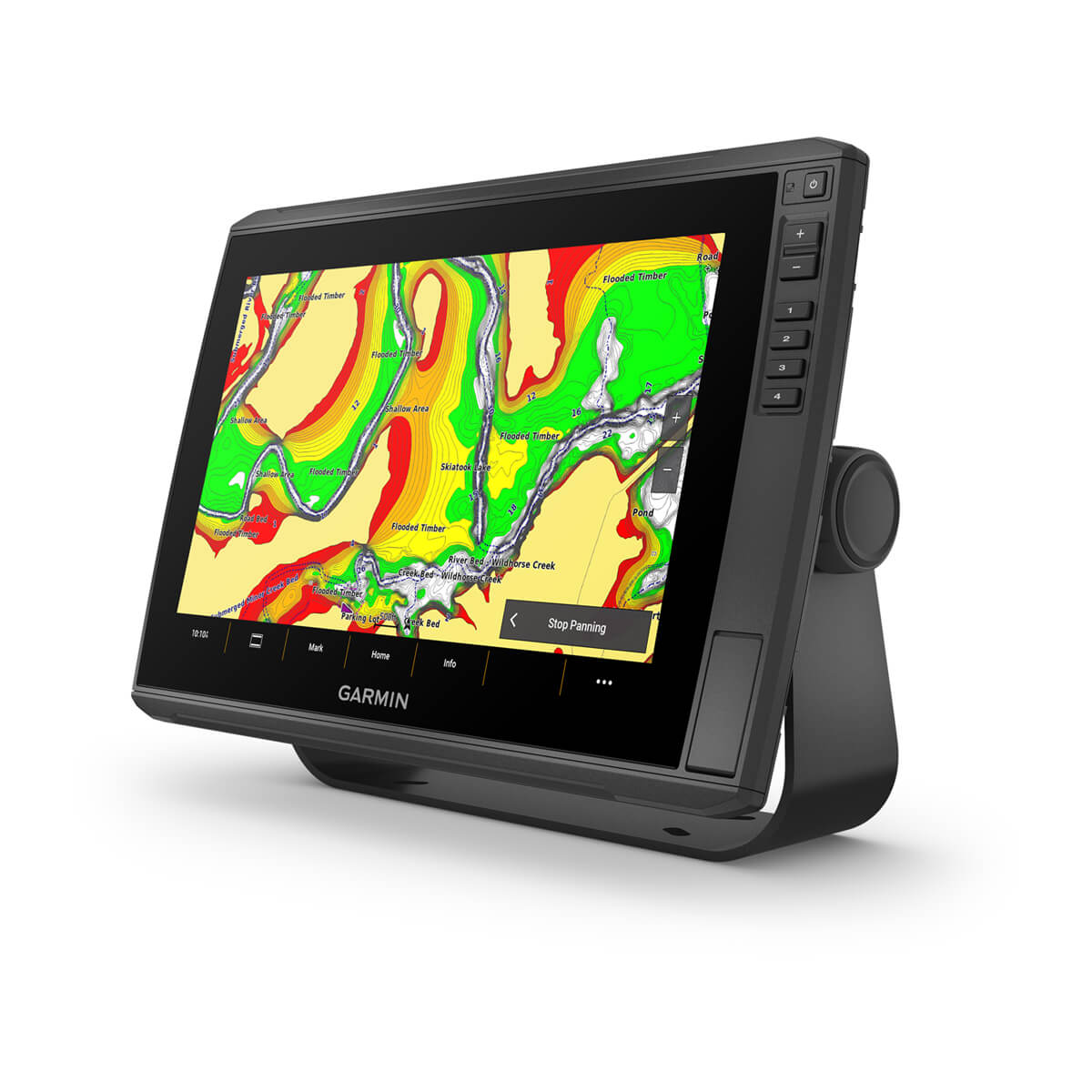
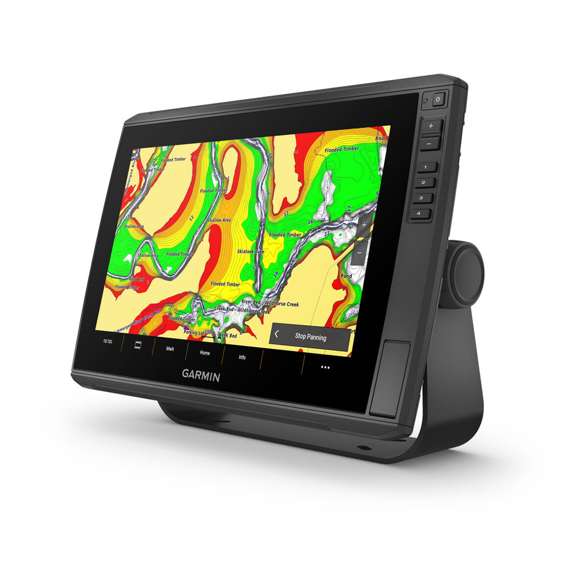
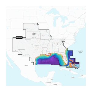
Select units come with built-in Garmin Navionics+ mapping, which includes a 1-year subscription for daily updates, depth range shading and more. For added features, Garmin Navionics Vision+™ premium mapping is optionally available (sold separately).
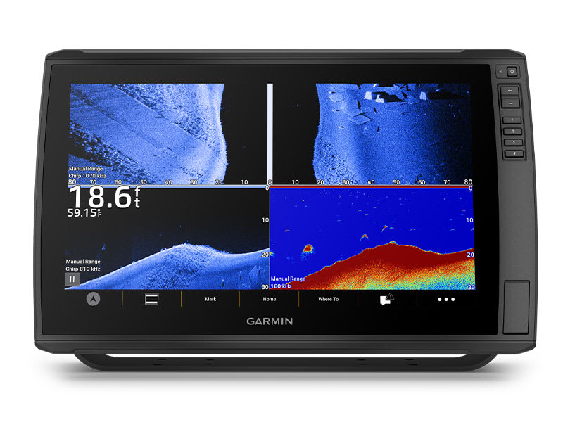
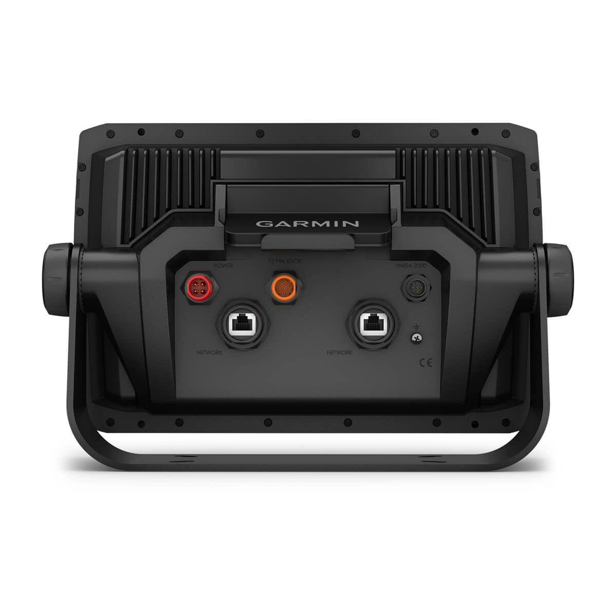
HDMI OUTPUT
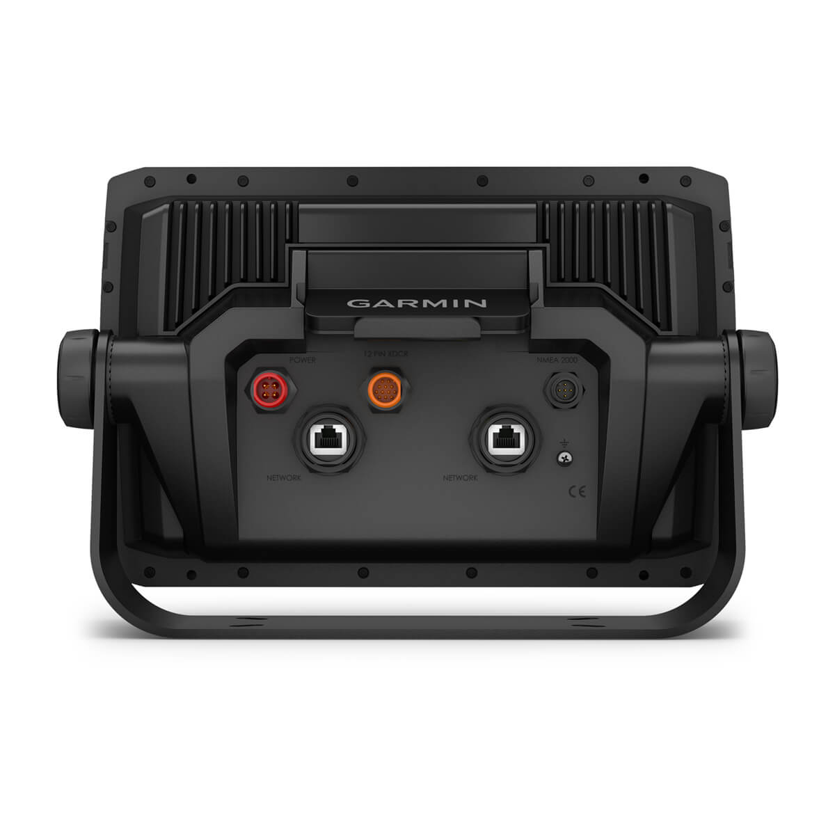
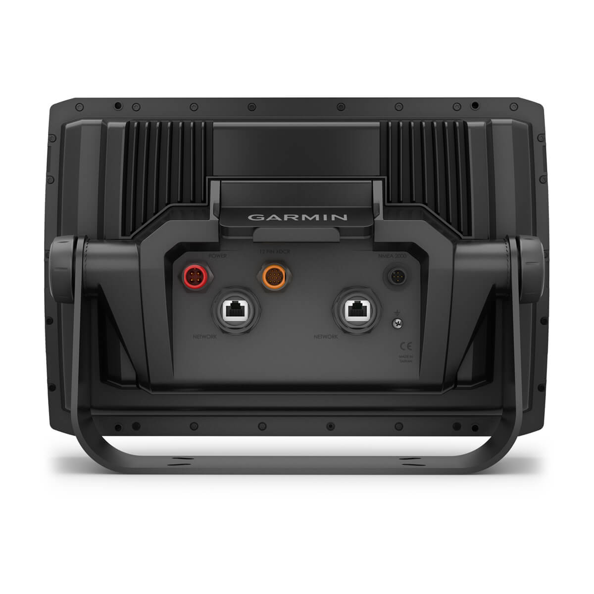
Use the chartplotter’s HDMI output connector to share your sonar screen with a TV or other external display.
VOICE CONTROL FEATURES
Built-in BLUETOOTH technology enables you to give voice commands to your chartplotter for hands-free control of such features as Force® trolling motor modes, favorite keys and sonar inputs.
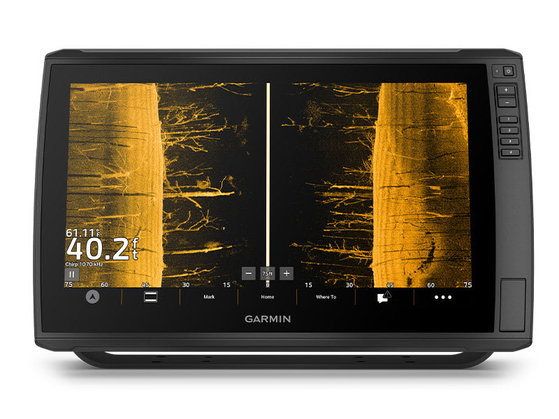
VIVID COLOR PALETTES
High-contrast vivid scanning sonar color palettes make it easier than ever to distinguish targets and structure.
STAY CONNECTED
WIRELESS NETWORKING
Share sonar3, waypoints and routes with another ECHOMAP Ultra 2 or UHD2 plotter on board.
MULTI-BAND GPS
Get improved position accuracy with multi-band GPS

NMEA 2000® NETWORK COMPATIBILITY
Connect to heading sensors, autopilots, Fusion-Link™ audio systems and more.

ACTIVECAPTAIN® APP
Pair with the free smart-device app for software updates, screen recording, Garmin Quickdraw™ Community data and more4.

FORCE TROLLING MOTOR
Wirelessly connect to your Force trolling motor to navigate to waypoints, draw and follow routes, and more.

SCREEN RECORDING
Use the recording feature through the ActiveCaptain app on your smartphone to share images from your chartplotter.

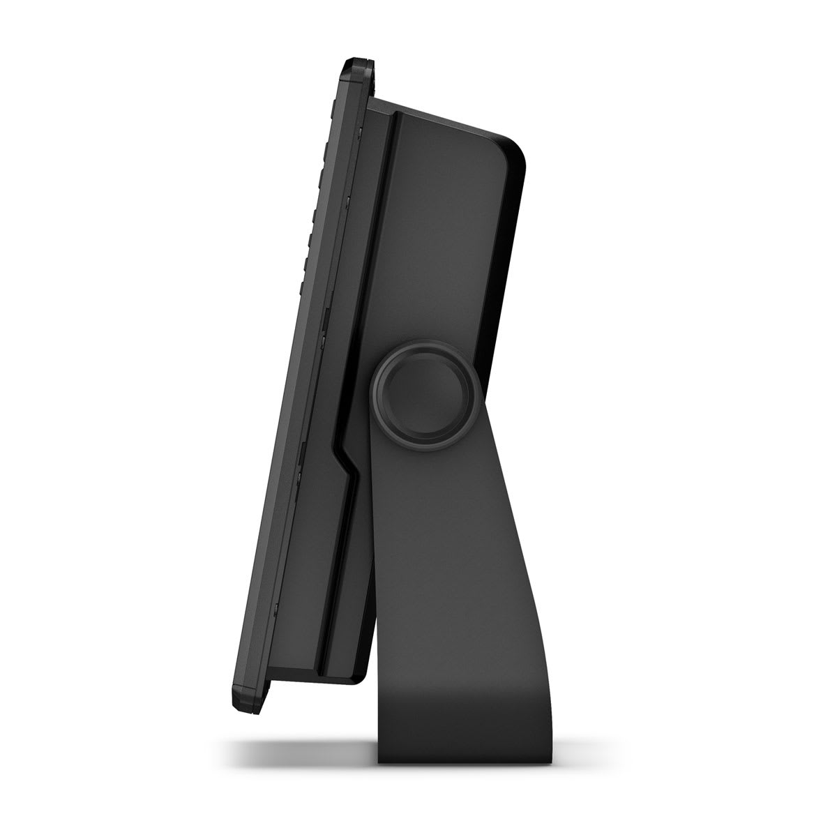
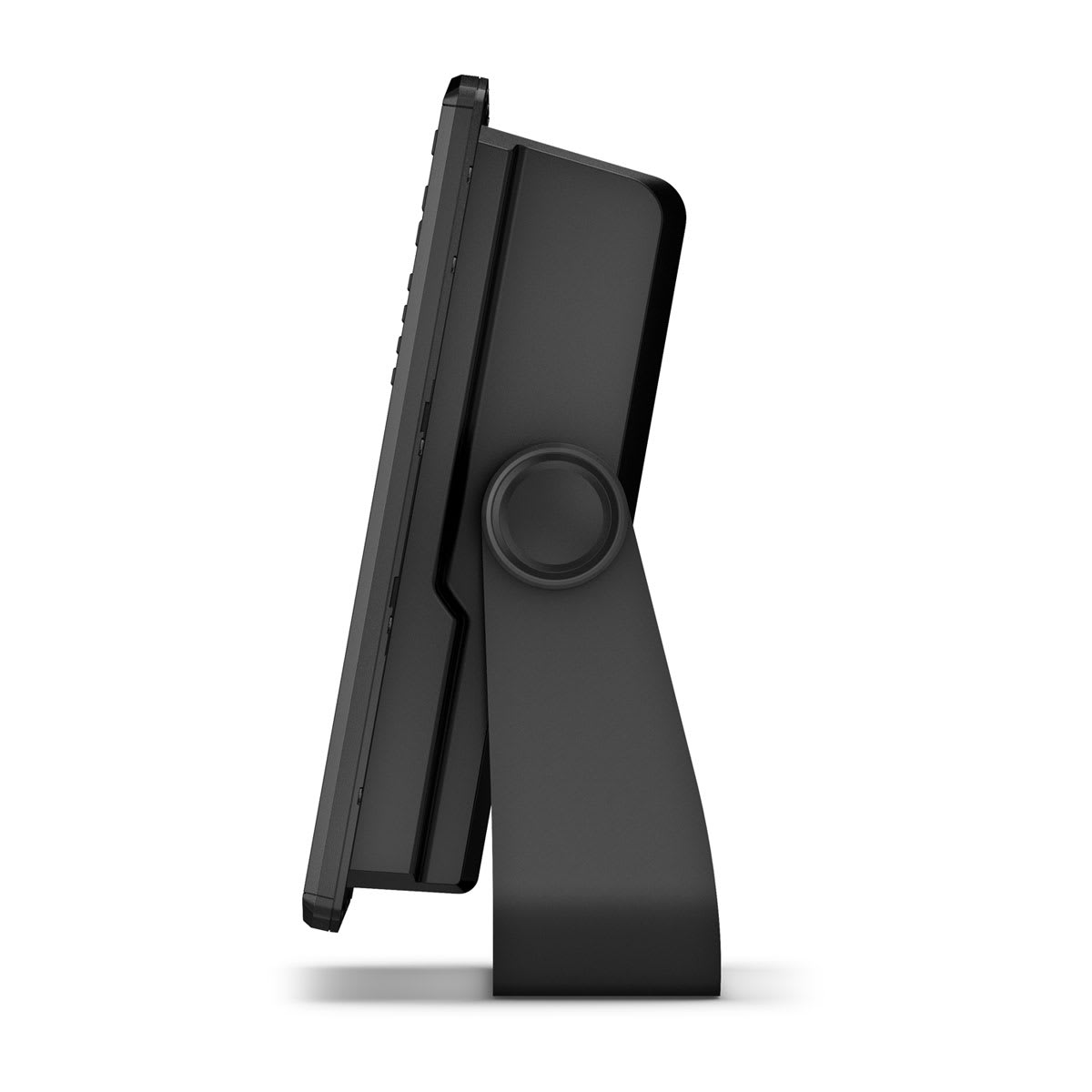
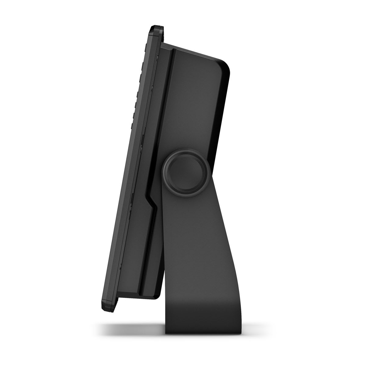
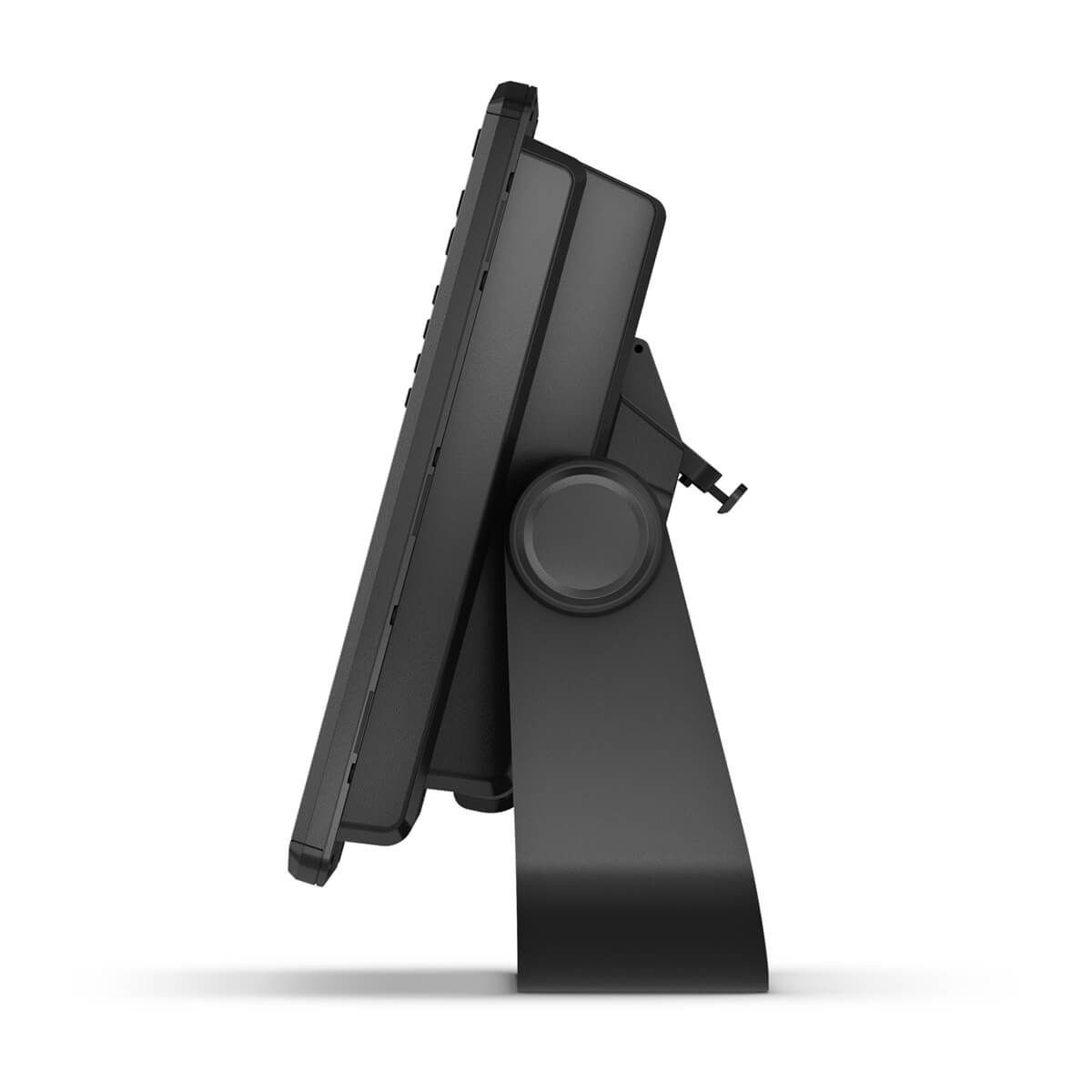
BAIL MOUNT WITH KNOBS
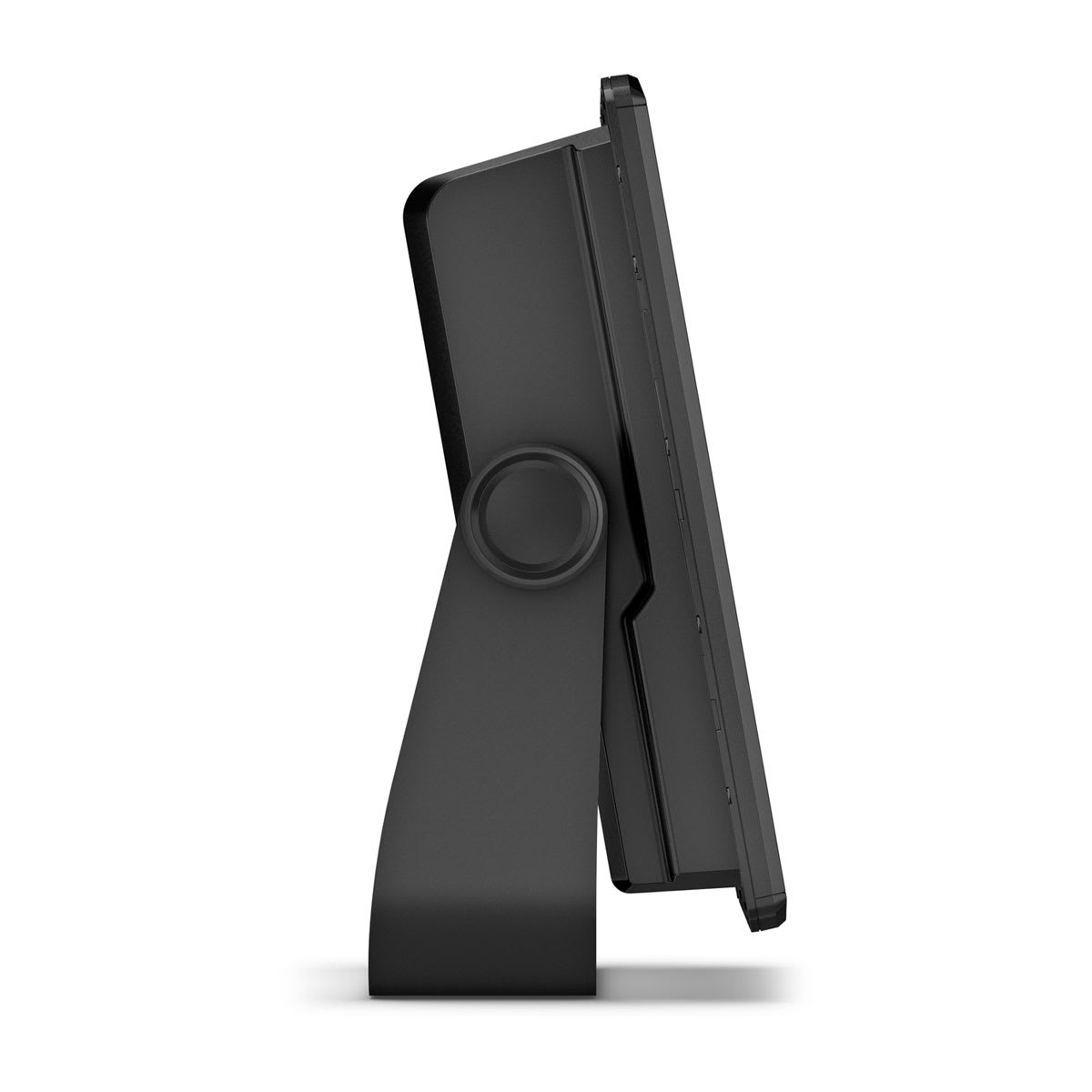
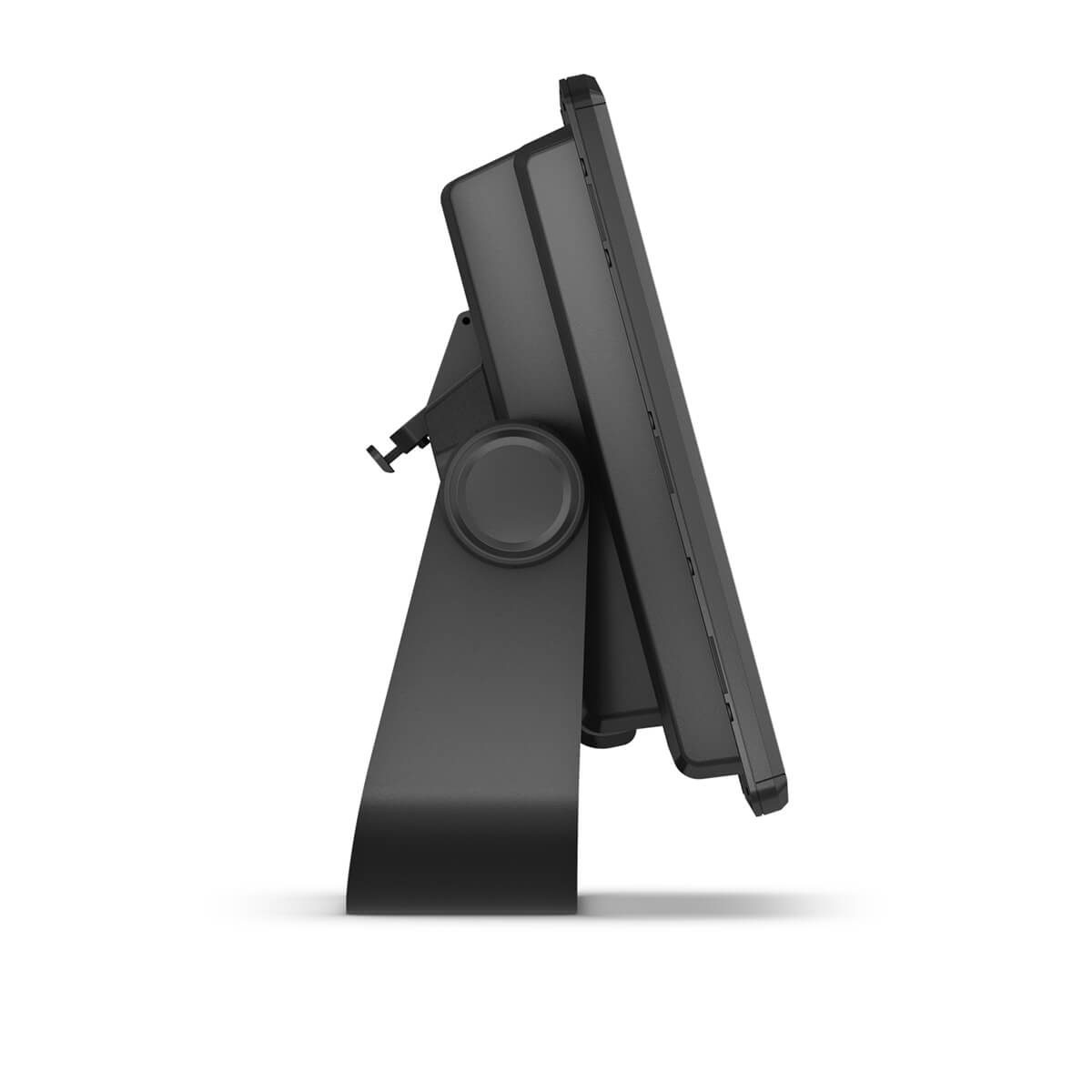
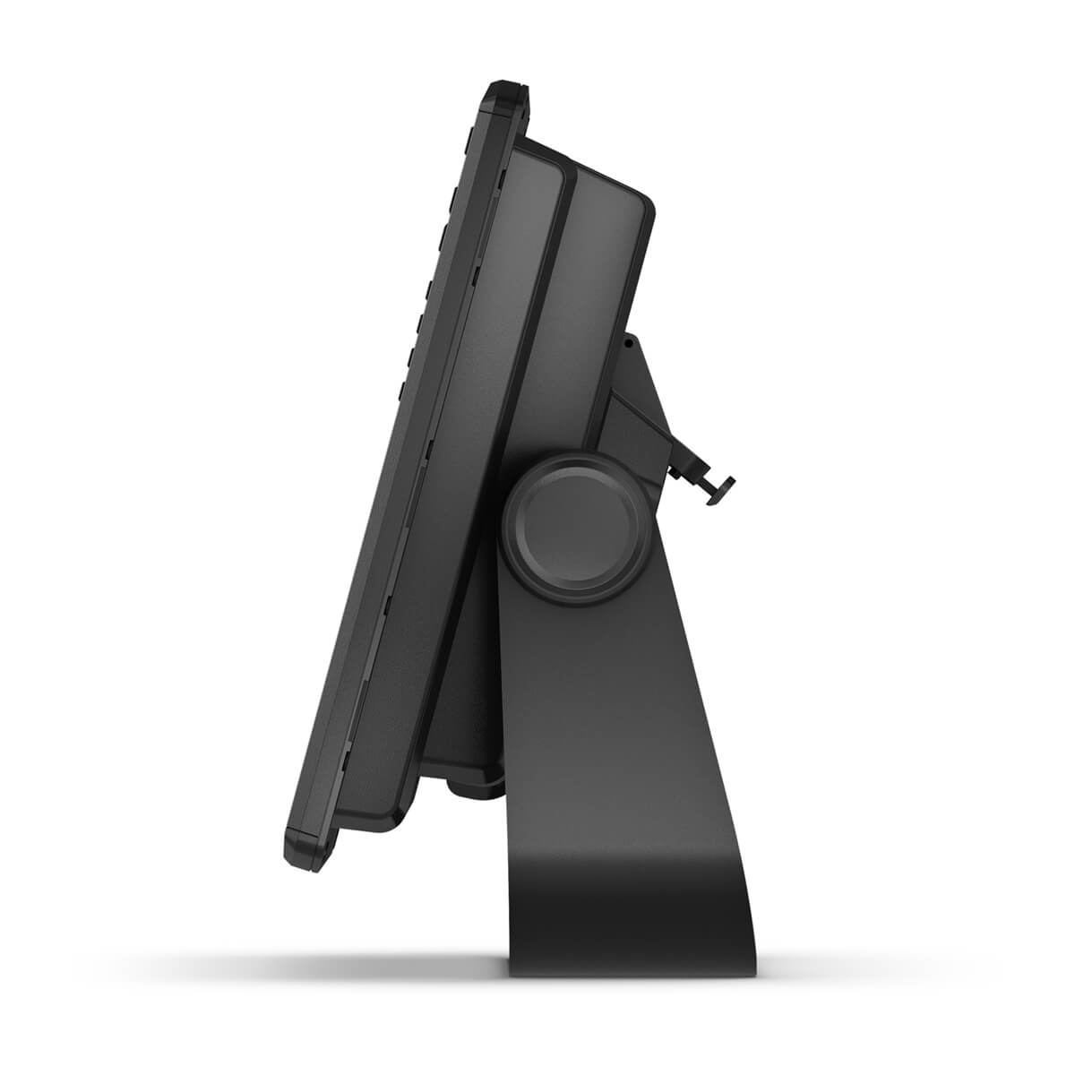
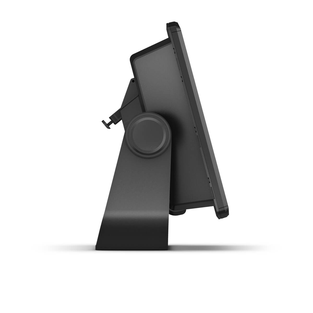
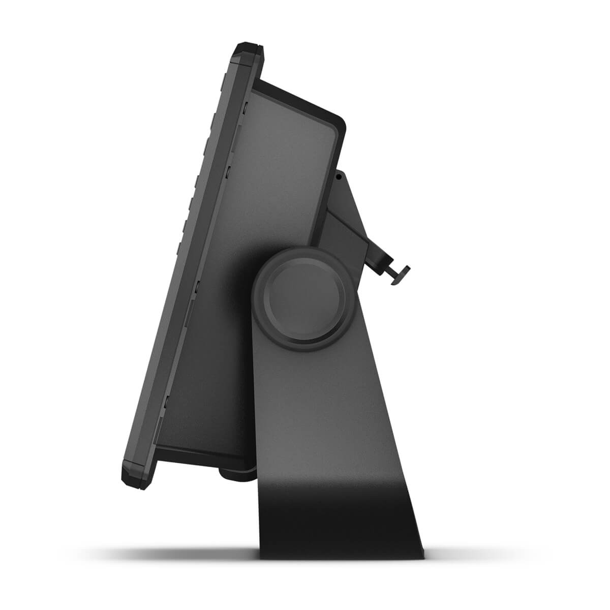
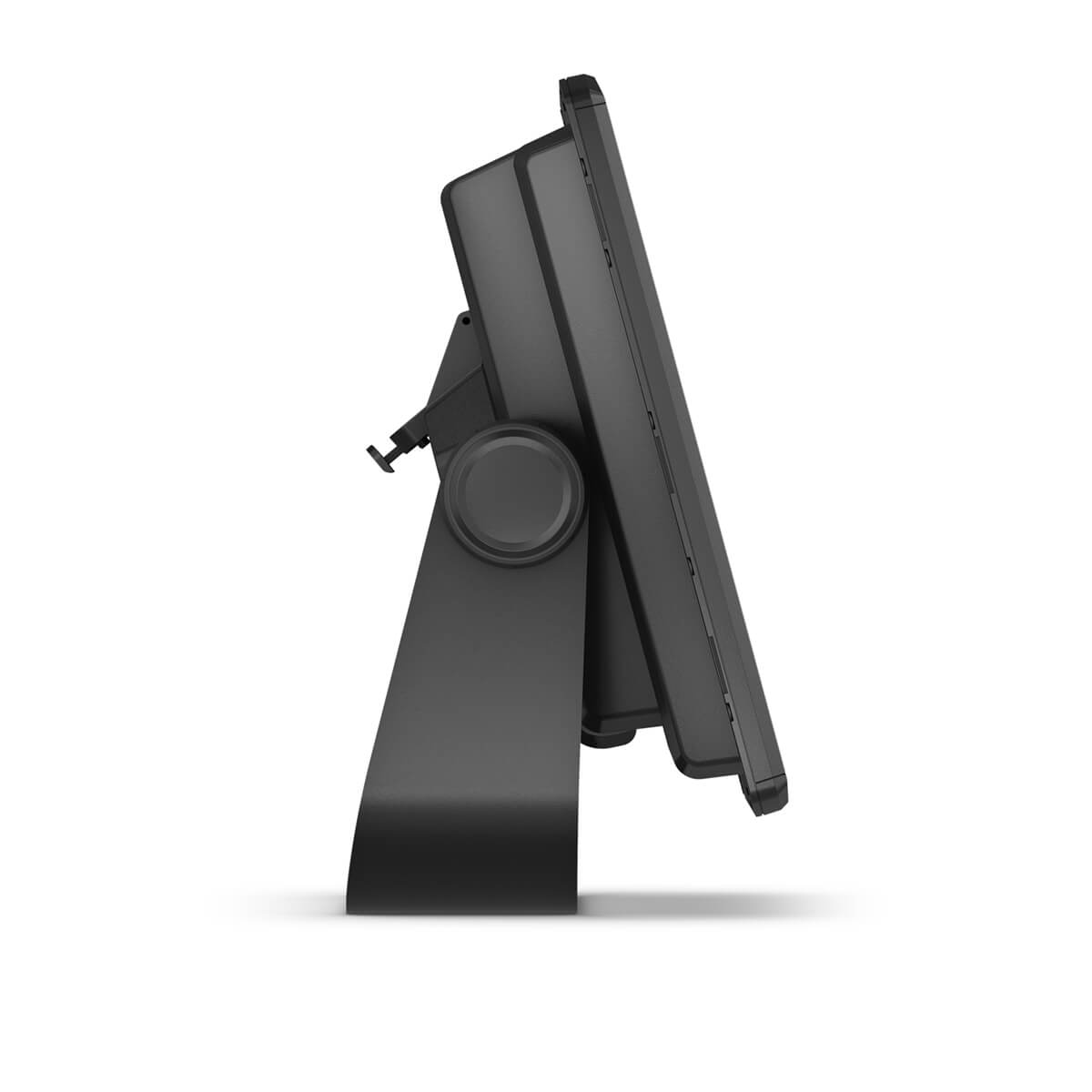
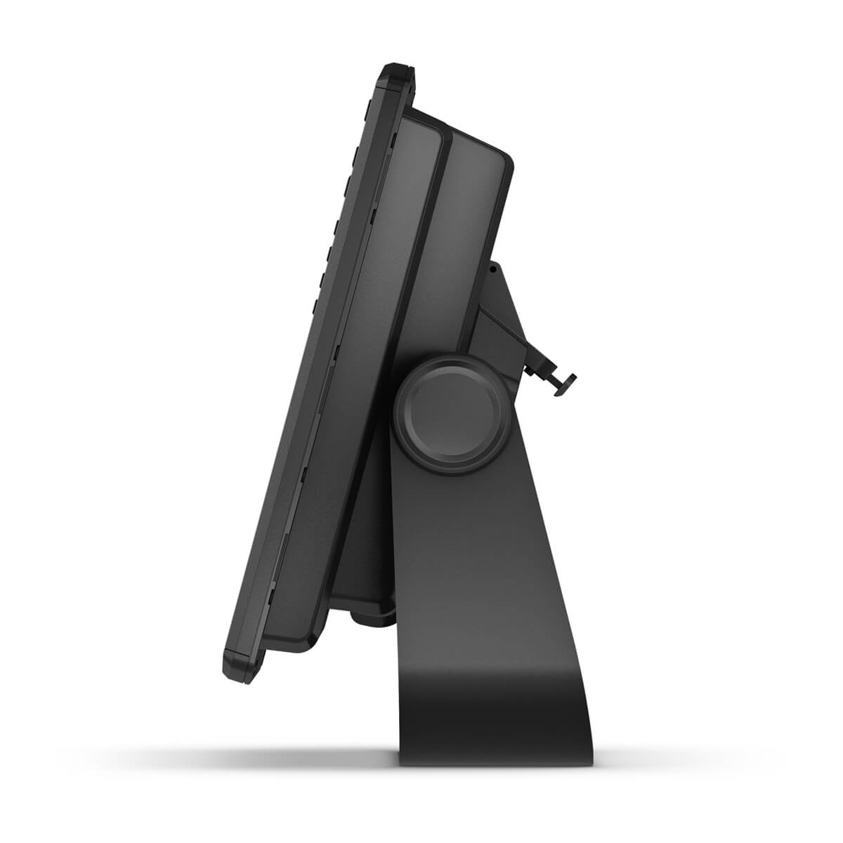
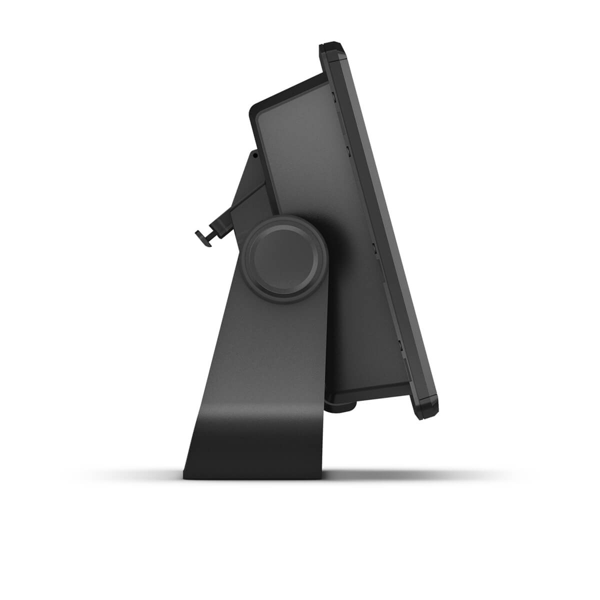
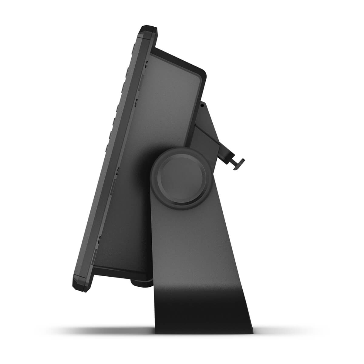
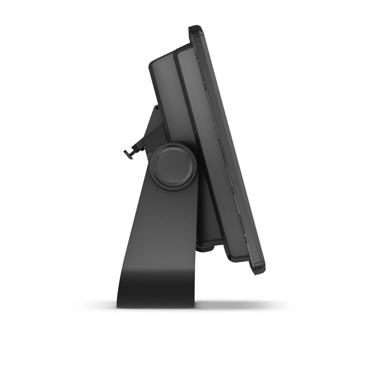
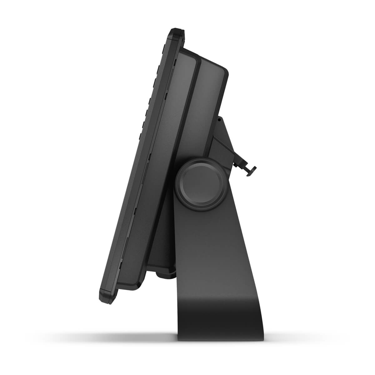
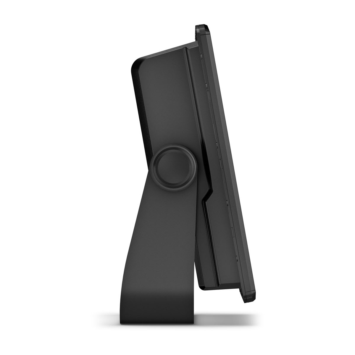
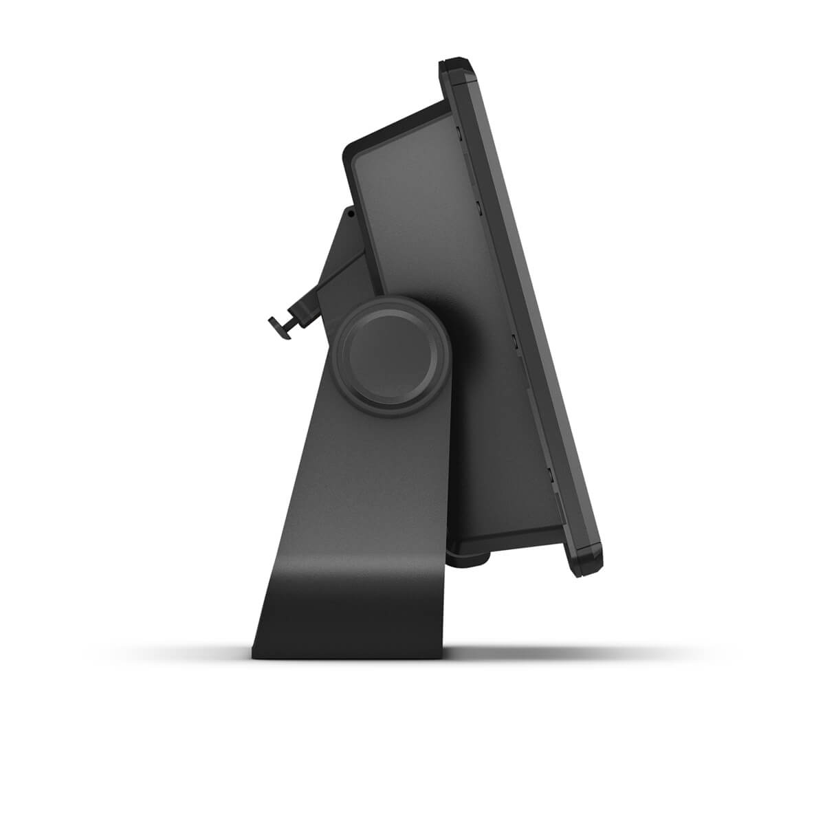
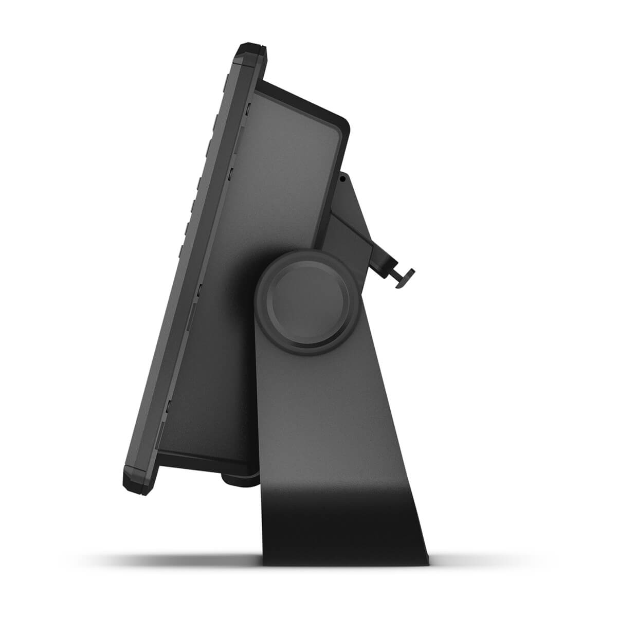
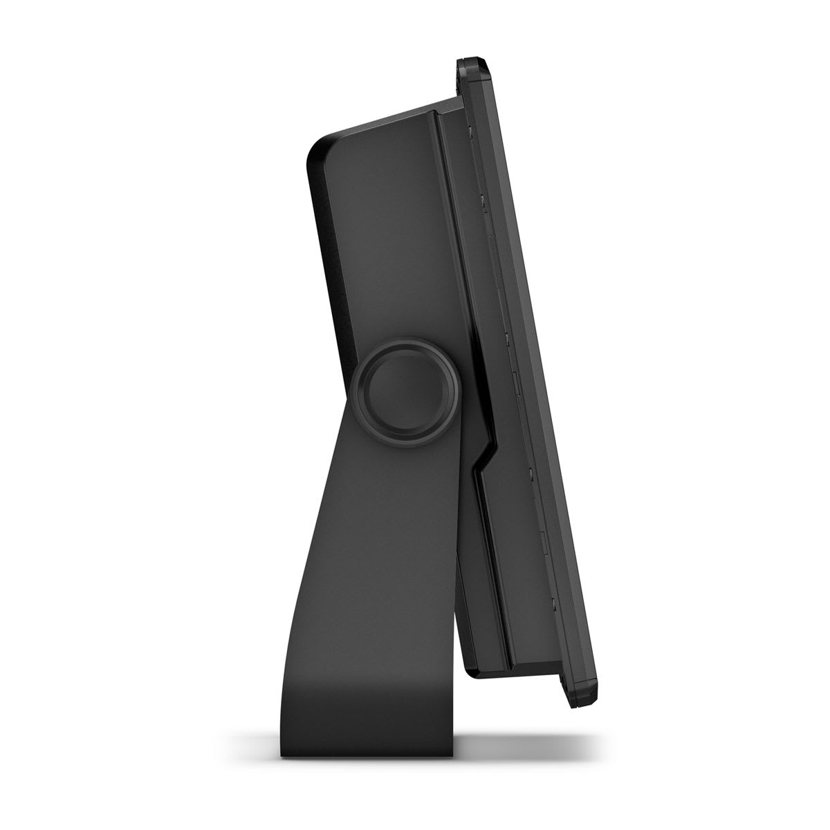
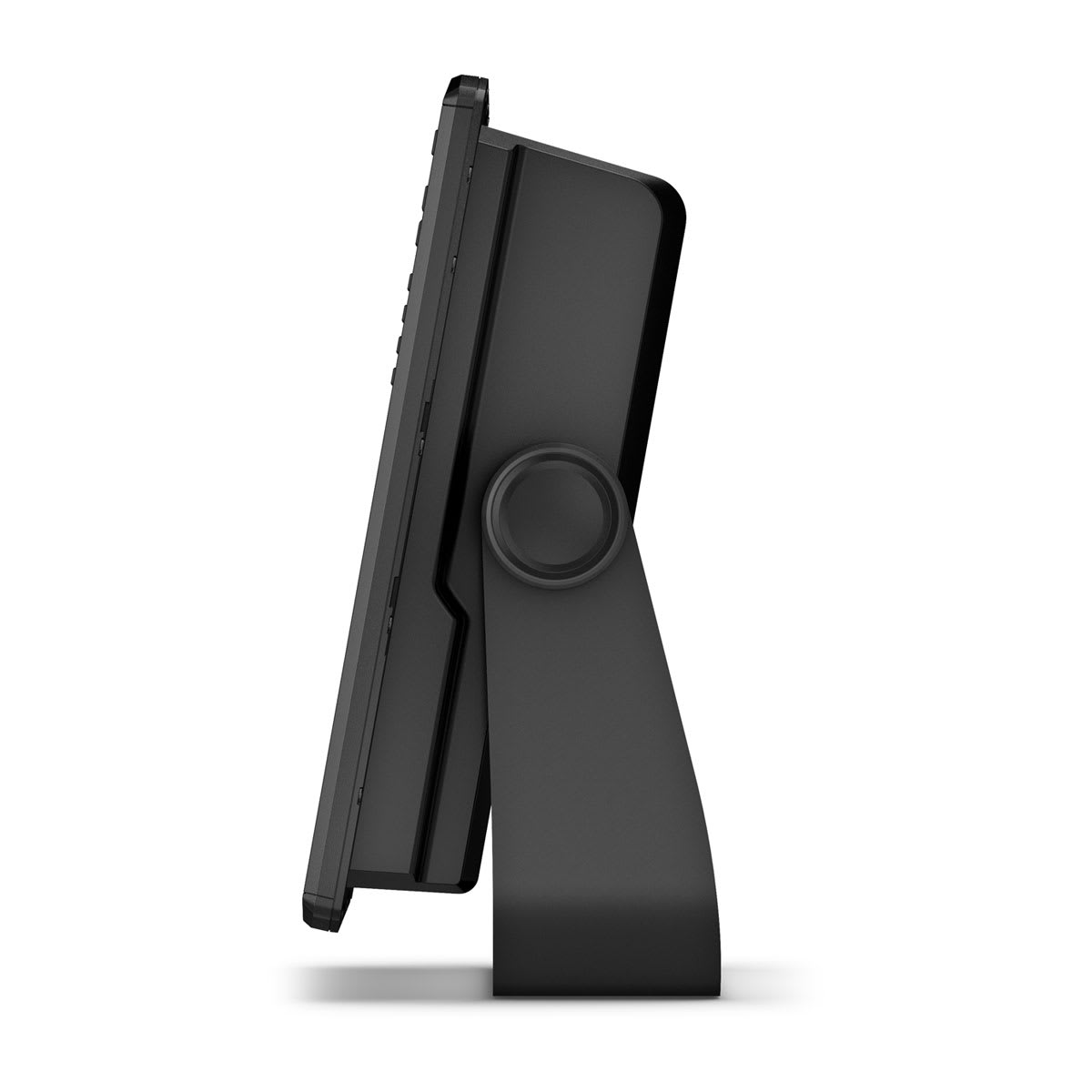
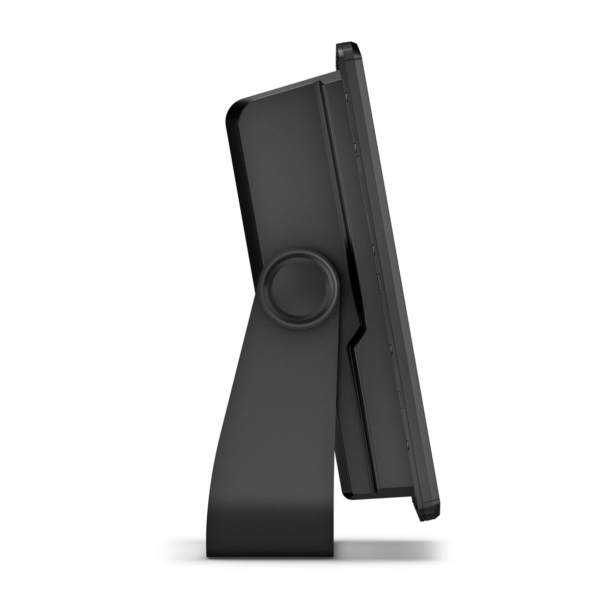
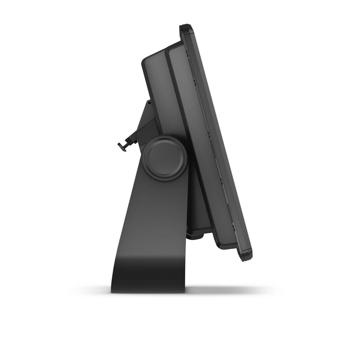
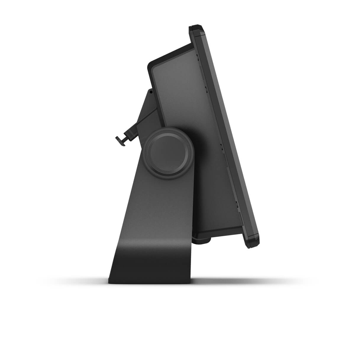
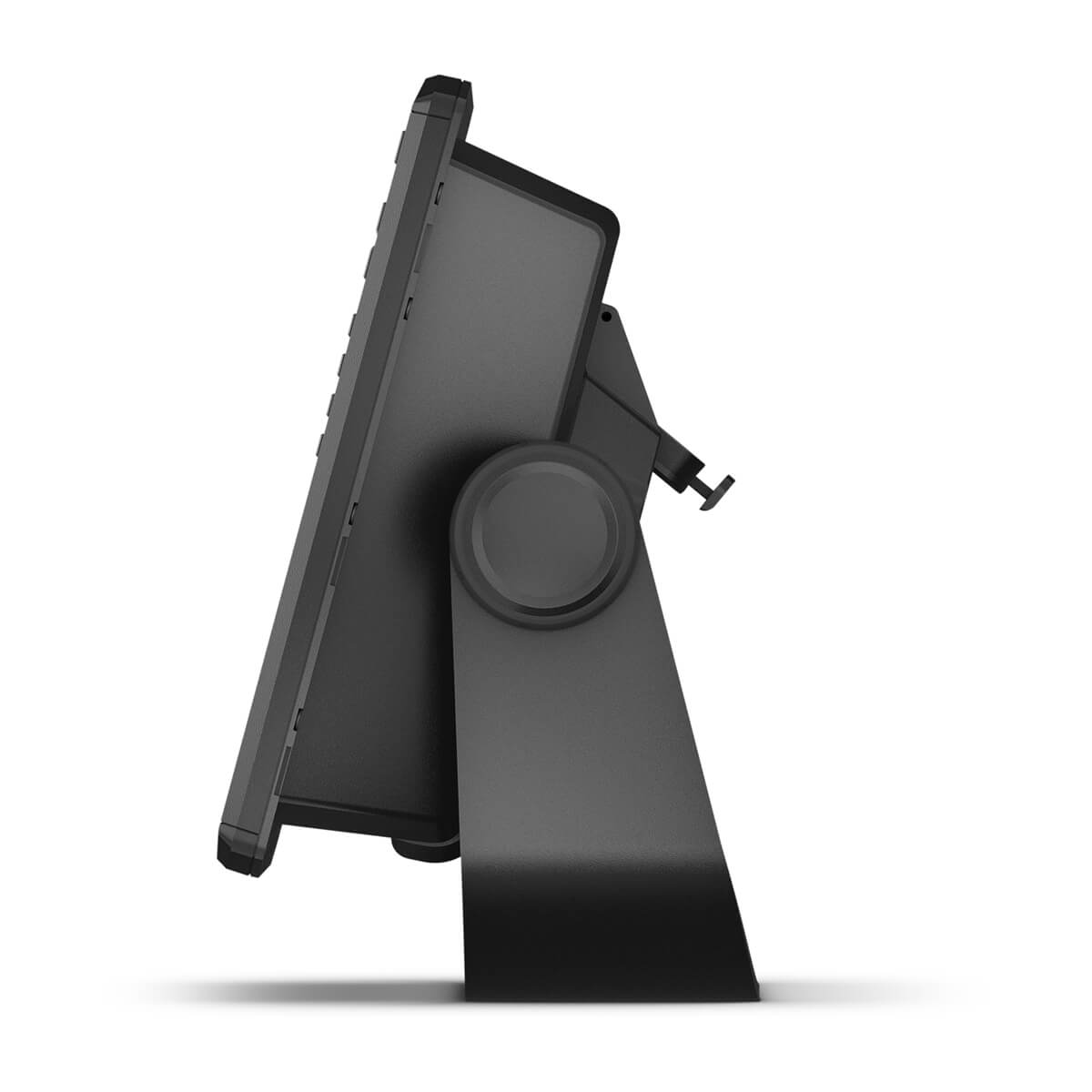
Surface mount your compatible ECHOMAP Ultra 2 chartplotter by using our bail mount with knobs; the mount tilts for optimum viewing.
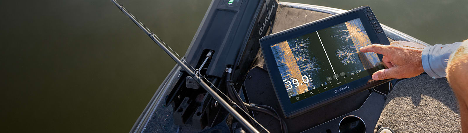
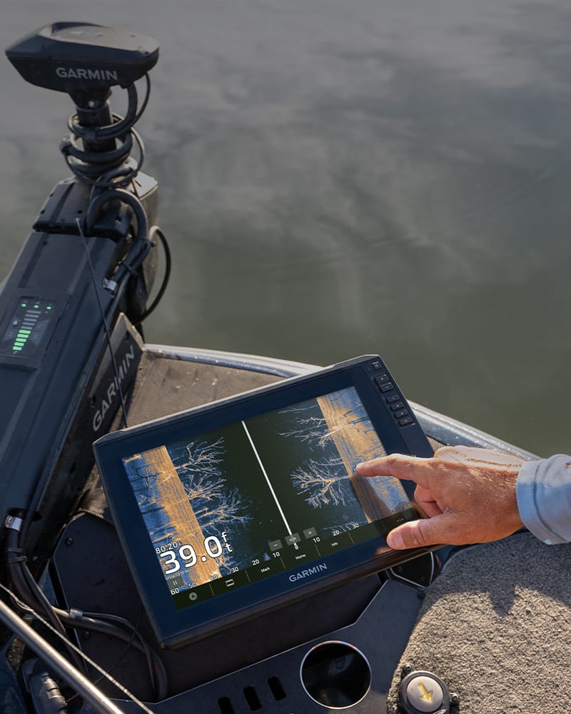
See everything with the ultra high-definition scanning sonar system.
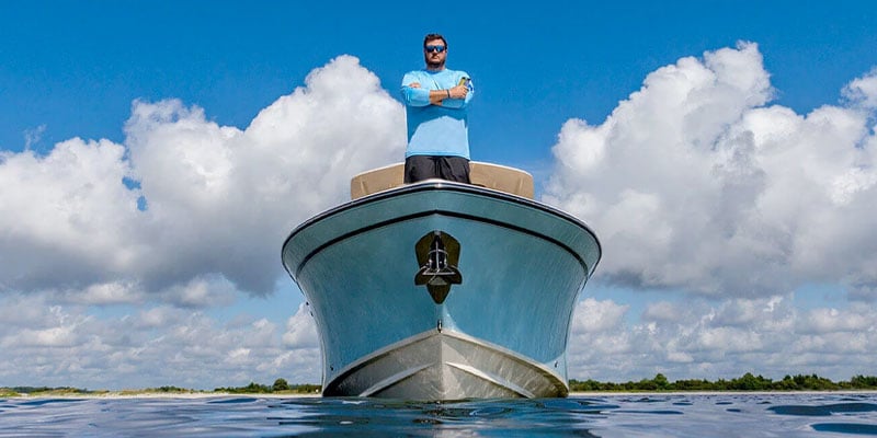
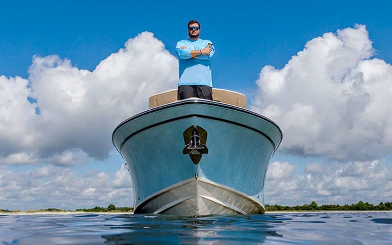
Manage your marine experience using the free ActiveCaptain® app
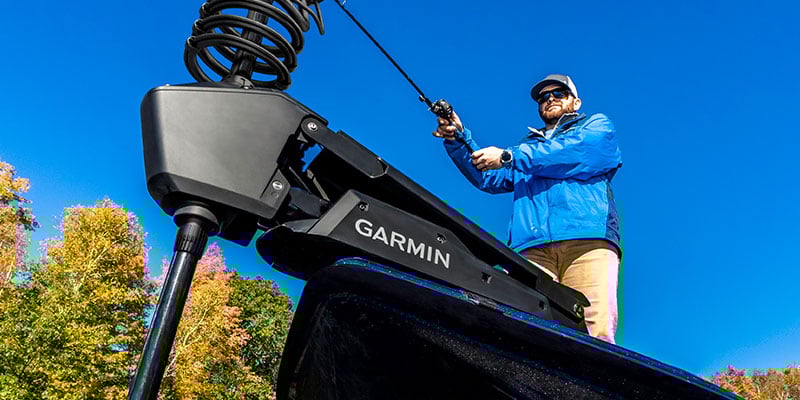
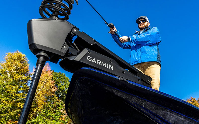
Powerful. Efficient. Quiet. Force™ trolling motor
Specs
General |
|
| Dimension | 16.9″ x 10.5″ x 3.14″ (43.0 x 26.6 x 8.0 cm) |
|---|---|
| Weight |
9.5 lbs (4.31 kg) |
| Water rating |
IPX7 |
| Touchscreen | |
| Display Type | FHD, IPS |
| Display Size | 13.6″ x 7.7″; 15.6″ diagonal (34.5 x 19.5 cm; 39.7 cm diagonal) |
| Display resolution | 1920 x 1080 pixels |
| Mounting Options | Bail or flush |
| Input | Touchscreen with keyed assist |
Maps & Memory |
|
| Accepts Data Cards |
2 microSD™ cards |
|---|---|
| Waypoints |
5000 |
| Track points | 50,000 |
| Tracks | 50 saved tracks |
| Navigation Routes | 100 |
Sensors |
|
| GPS | |
|---|---|
| GLONASS | |
| Galileo | |
| BeiDou | |
| Has built-in receiver | |
| Receiver |
10 Hz |
| NMEA 2000 Compatible | |
| NMEA 0183 Compatible | |
| Supports WAAS | |
| Supports multi-band, multi-constellation GPS | |
Built-in Maps |
|
| Built-in Auto Guidance+ | yes (see Additional) |
|---|---|
| Garmin Navionics+ Inland & Coastal | yes (see Additional) |
| Tide tables | yes (see Additional) |
Optional Map Support |
|
| BlueChart g3 | |
|---|---|
| BlueChart g3 Vision | |
| LakeVü g3 | |
| LakeVü g3 Ultra | |
| Garmin Navionics+™ | |
| Garmin Navionics Vision+™ | |
| TOPO 100K | |
| Standard Mapping | |
| Garmin Quickdraw Contours | |
Chartplotter Features |
|
| AIS | |
|---|---|
| DSC | |
| Supports Fusion-Link™ compatible radios | |
| ActiveCaptain® compatible |
yes |
| Supports voice commands | |
| Sailing Features | |
Electrical Features |
|
| Power Input | 9 to 18 Vdc |
|---|---|
| Typical current draw at 12 Vdc | 3.9 A |
| Maximum current draw at 12 Vdc | 6.6 A |
| Maximum power usage at 10 Vdc | 48 W |
Sonar Features |
|
| Displays sonar | |
|---|---|
| Power output | 600 W |
| Traditional sonar (dual frequency/beam) | built-in (single channel CHIRP, 70/83/200 kHz, L, M, H CHIRP) |
| ClearVü | Built-in 260/455/800/1000/1200 kHz |
| SideVü | Built-in 260/455/800/1000/1200 kHz |
| Panoptix™ sonar | |
| LiveScope | |
Networking & Connections |
|
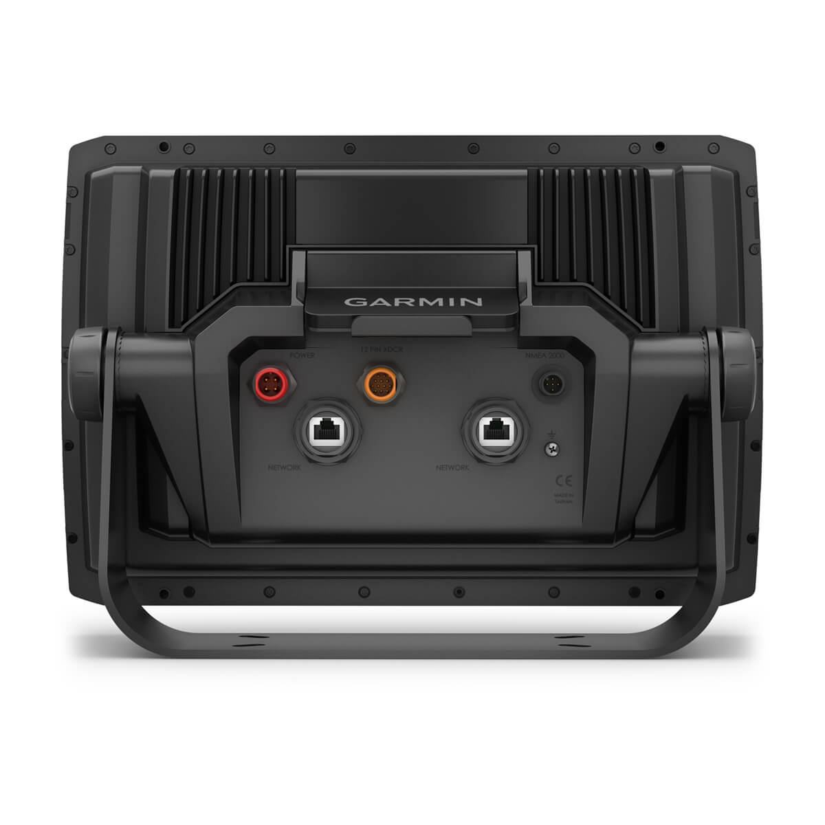
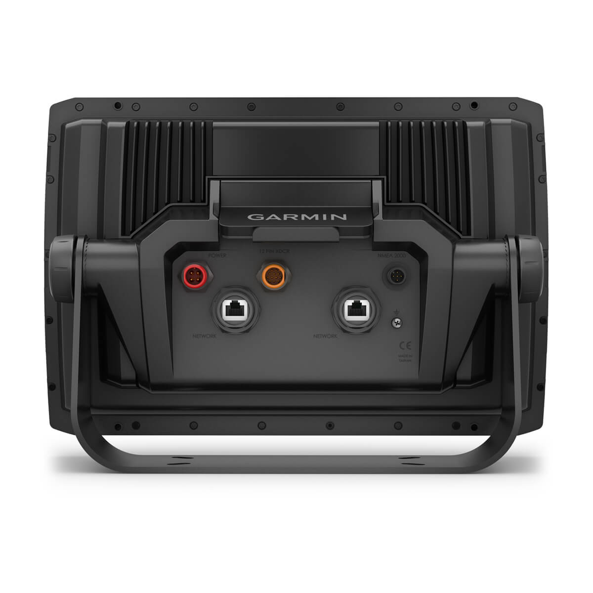
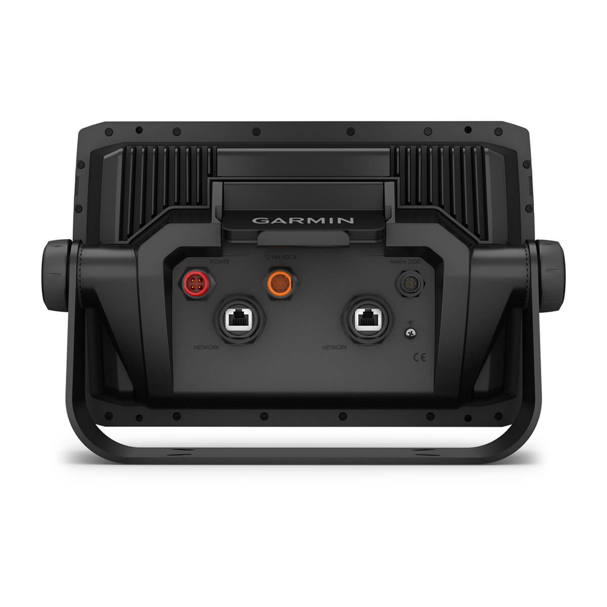
| NMEA 2000® ports | 1 |
|---|---|
| Video output ports |
1 HDMI |
| Garmin Marine Network Ports |
2 (large connector) |
| 12-pin transducer ports | 12-pin scanning sonar |
| Bluetooth® pairing | |
| ANT® (Connectivity) | |
| Garmin Wi-Fi network (local connection) | |
Additional |
|
| Additional |
Garmin Navionics+ (Inland and Coastal): 166sv, 165sv Australia/New Zealand |
|---|---|
Reviews
There are no reviews yet.