
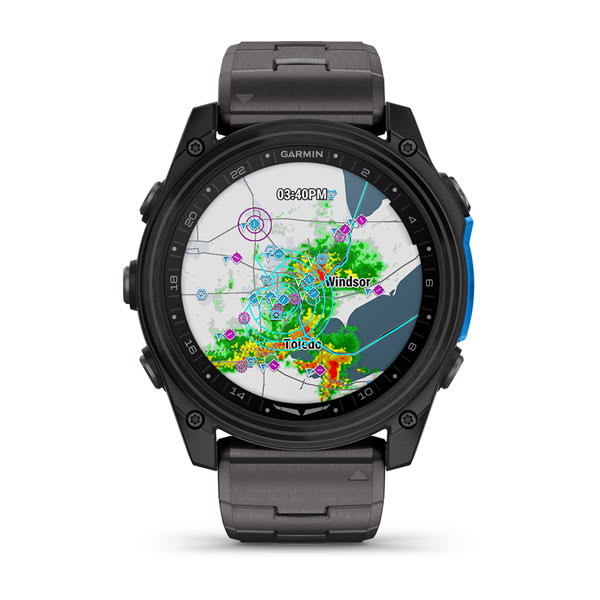


D2™ MACH 2 PRO
the ultimate aviator smartwatch
INREACH® TECHNOLOGY” href=”https://www.garmin.com/en-US/inreach-technology-for-watches/” data-translate=””>


INREACH® TECHNOLOGY
access lte and satellite networks between flights
Learn more


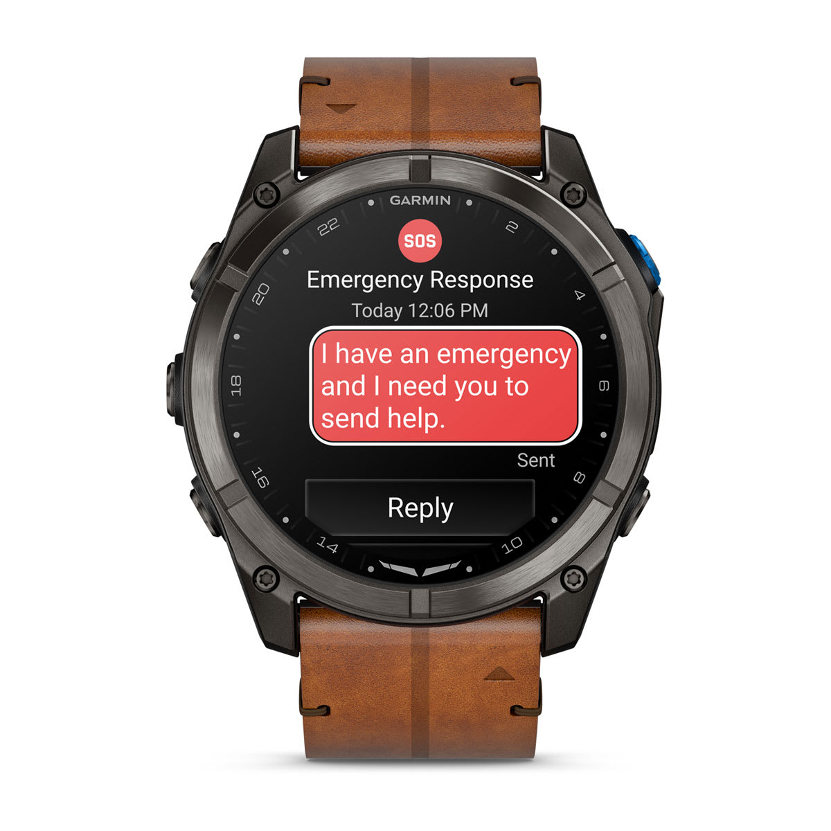
SOS MESSAGING WITH GARMIN RESPONSE℠
Satellite connectivity provides off-grid communication to our 24/7-staffed emergency response center


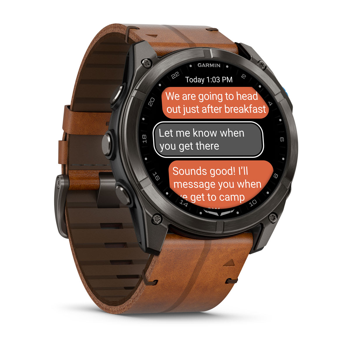
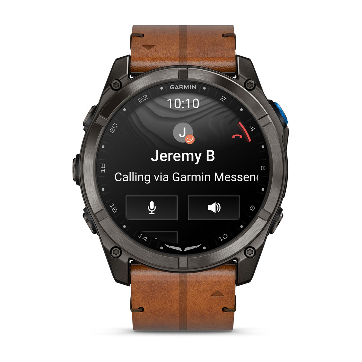
PHONE-FREE VOICE CALLS AND TEXTING
talk and text after landing with lte connectivity


LIVETRACK™ LOCATION SHARING
WITH AN LTE CONNECTION, FAMILY AND FRIENDS CAN FOLLOW ALONG DURING YOUR ACTIVITY


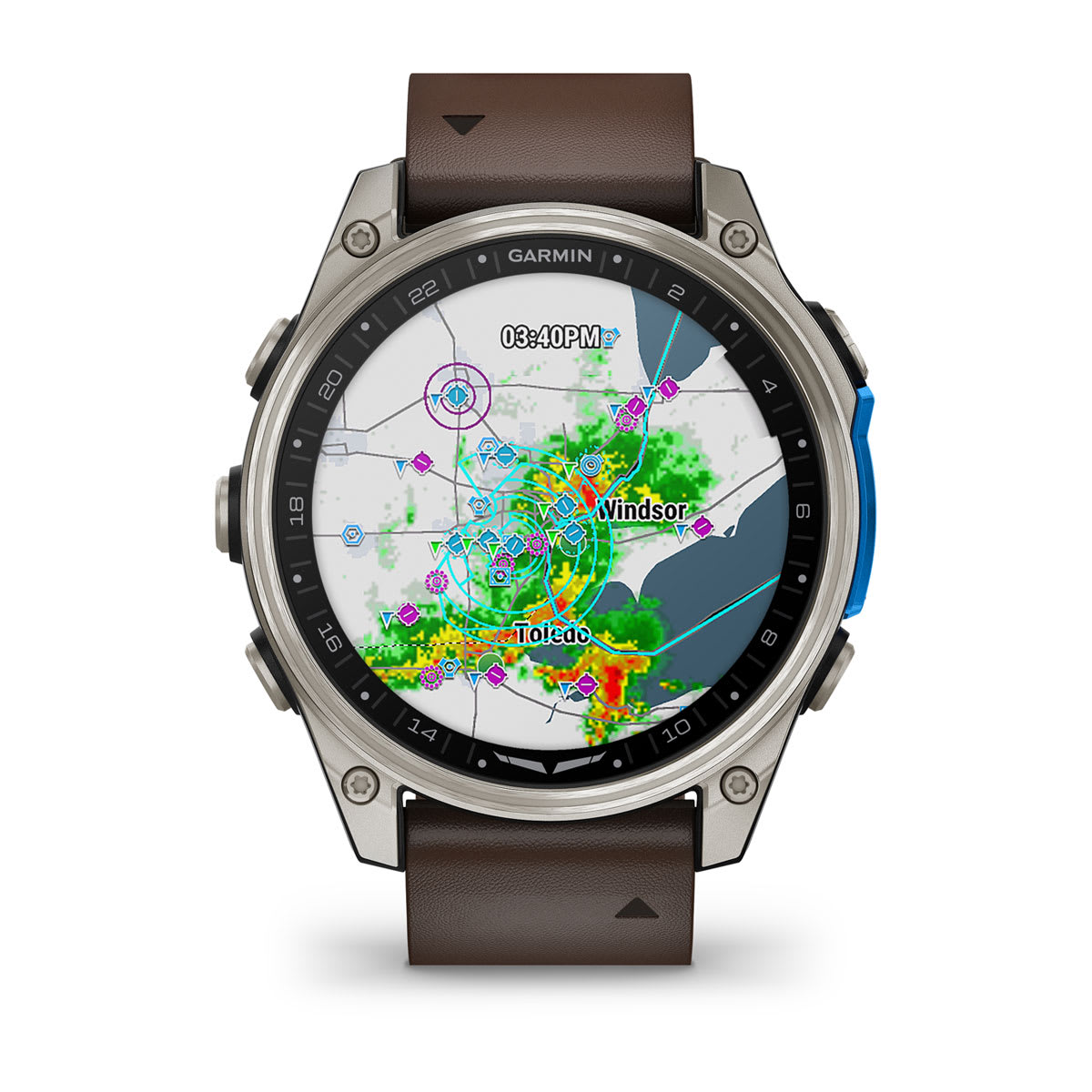
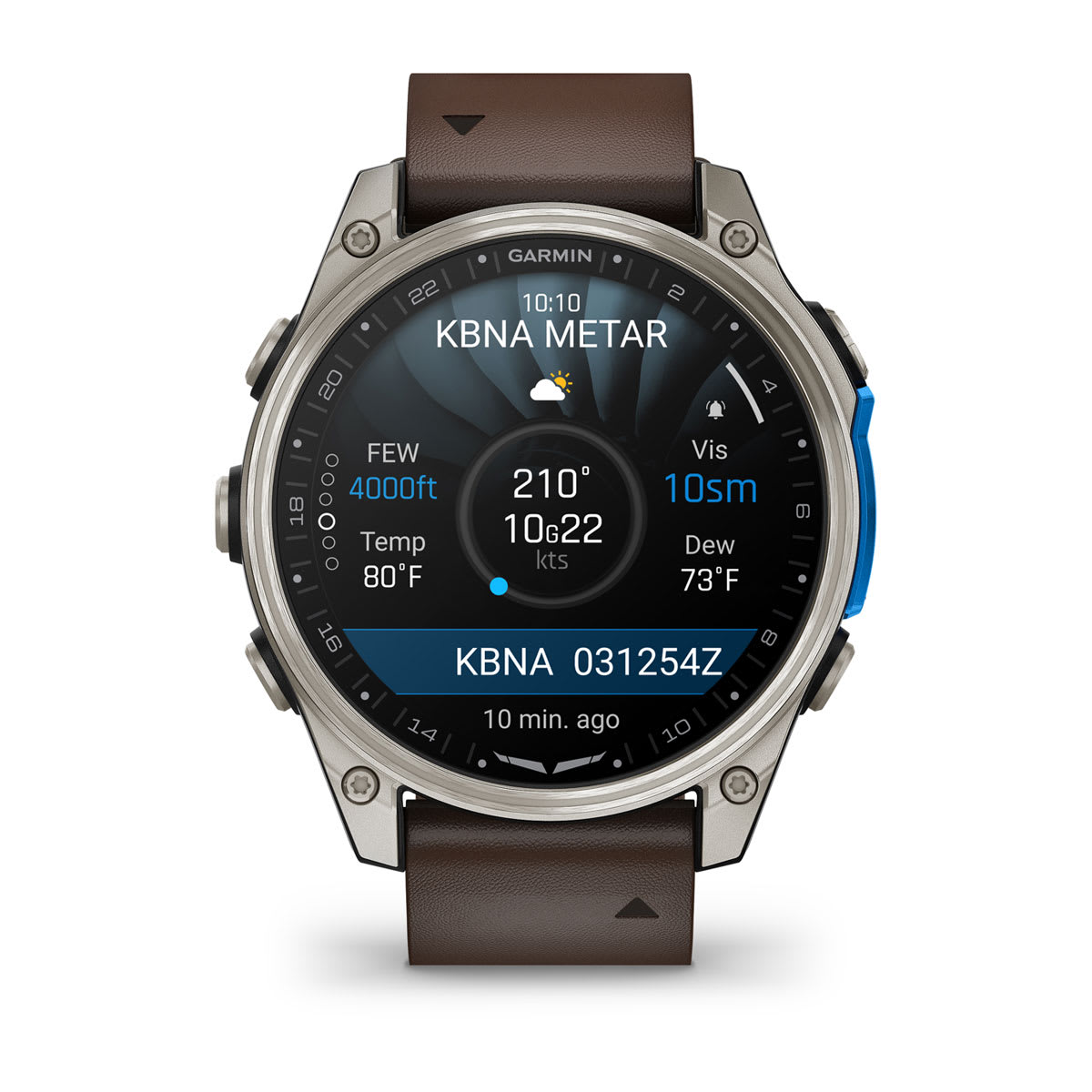
CHECK WEATHER BEFORE YOUR FLIGHT
VIEW NEXRAD, METARS, TAFS AND MORE WITH AN LTE CONNECTION


THE ULTIMATE AVIATOR SMARTWATCH
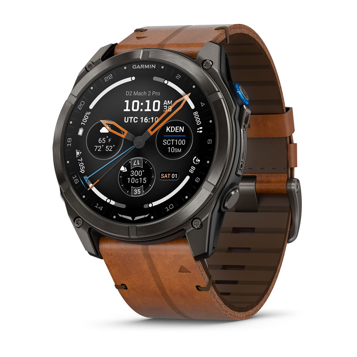
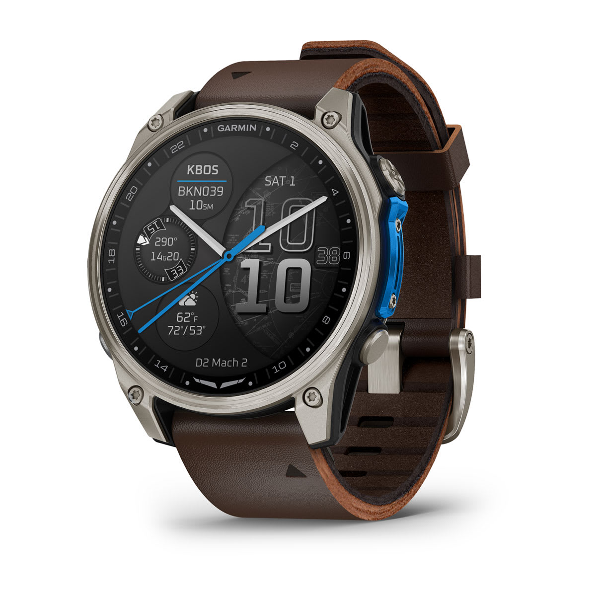
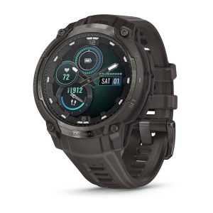
D2 Mach 2 Pro is the most connected Garmin aviator smartwatch to date, with built-in inReach® technology for LTE and satellite connectivity1 on the ground. Plus, it offers advanced flight mapping, weather updates, fitness tracking and more to help you perform at your best as you explore the world by air.

INREACH TECHNOLOGY1 FOR LTE AND SATELLITE CONNECTIVITY BETWEEN FLIGHTS

UP TO 24 DAYS OF BATTERY LIFE IN SMARTWATCH MODE

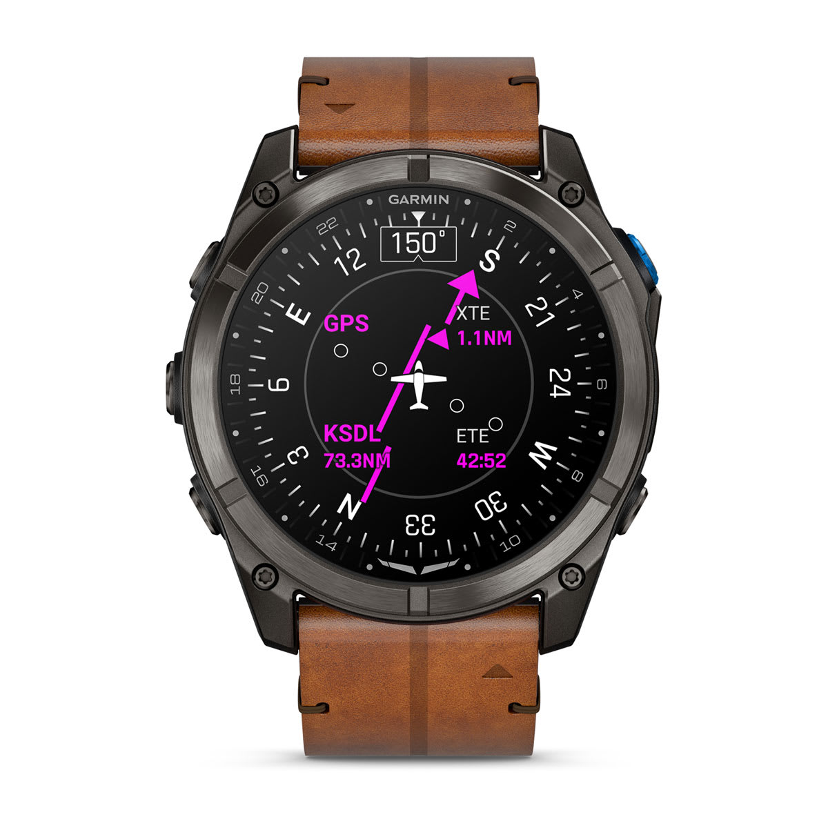
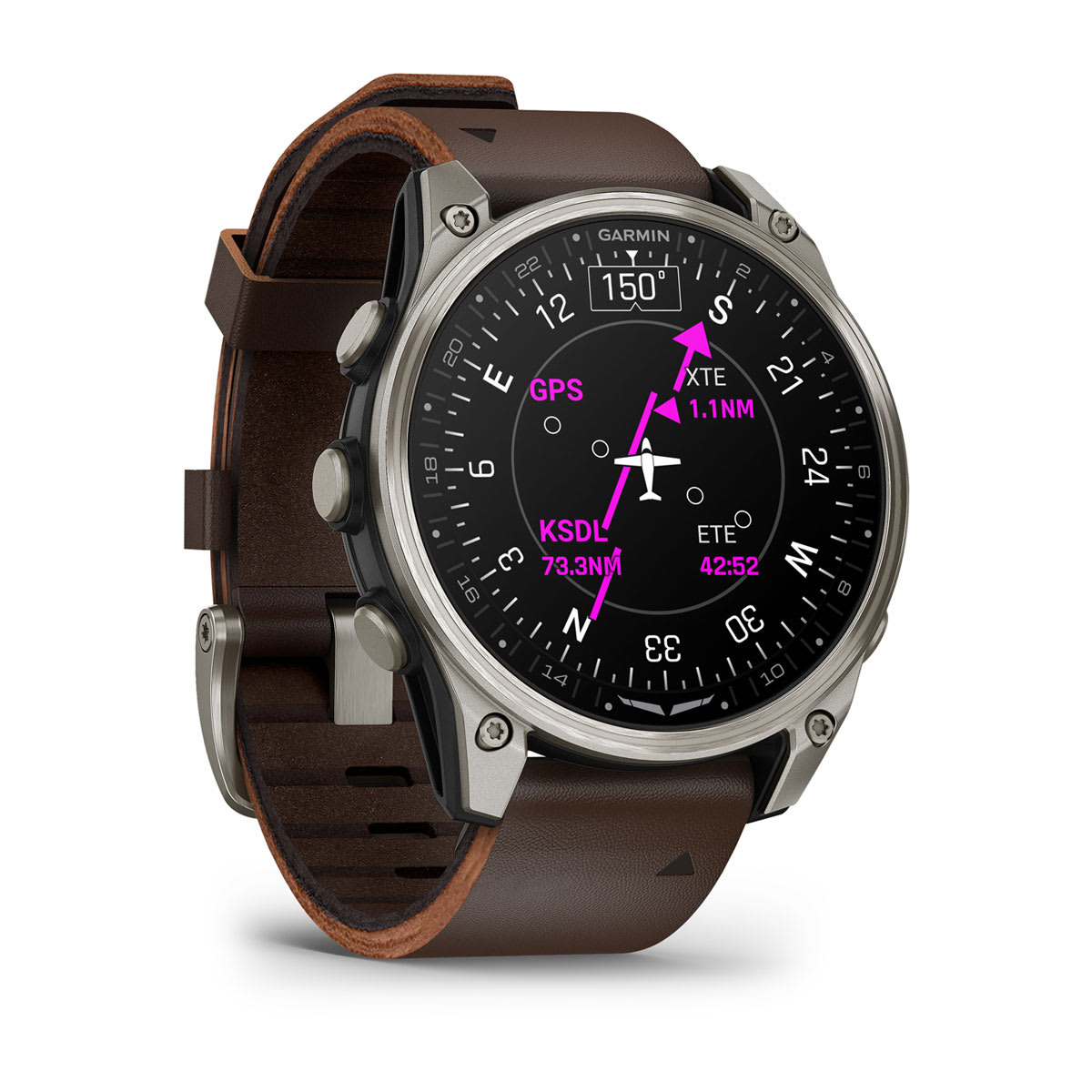
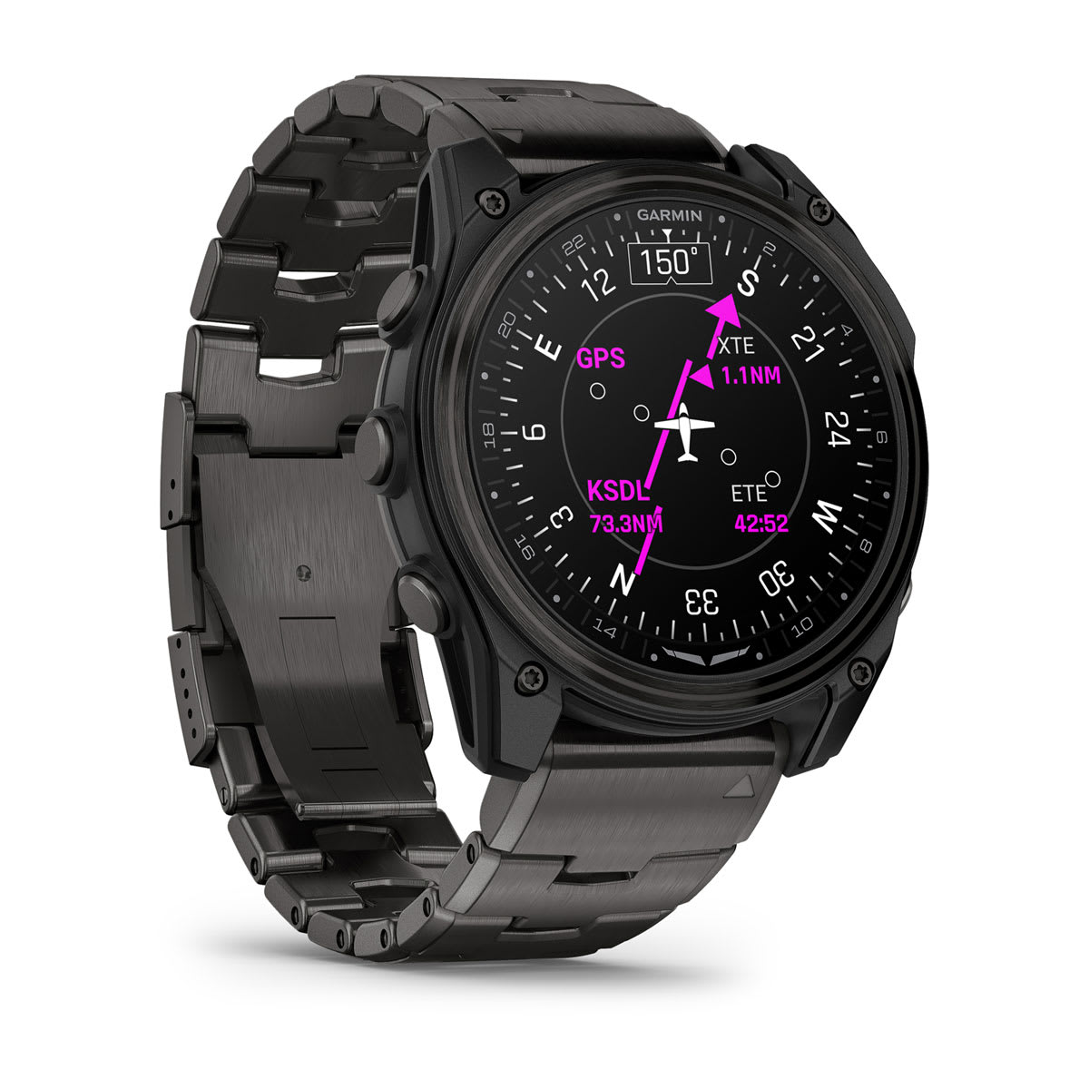
NAVIGATE WITH GPS, HSI AND ADVANCED FLIGHT MAPPING

1.4-INCH AMOLED DISPLAY, SAPPHIRE LENS AND TITANIUM BEZEL

SUGGESTED WORKOUTS AND 24/7 HEALTH MONITORING FEATURES

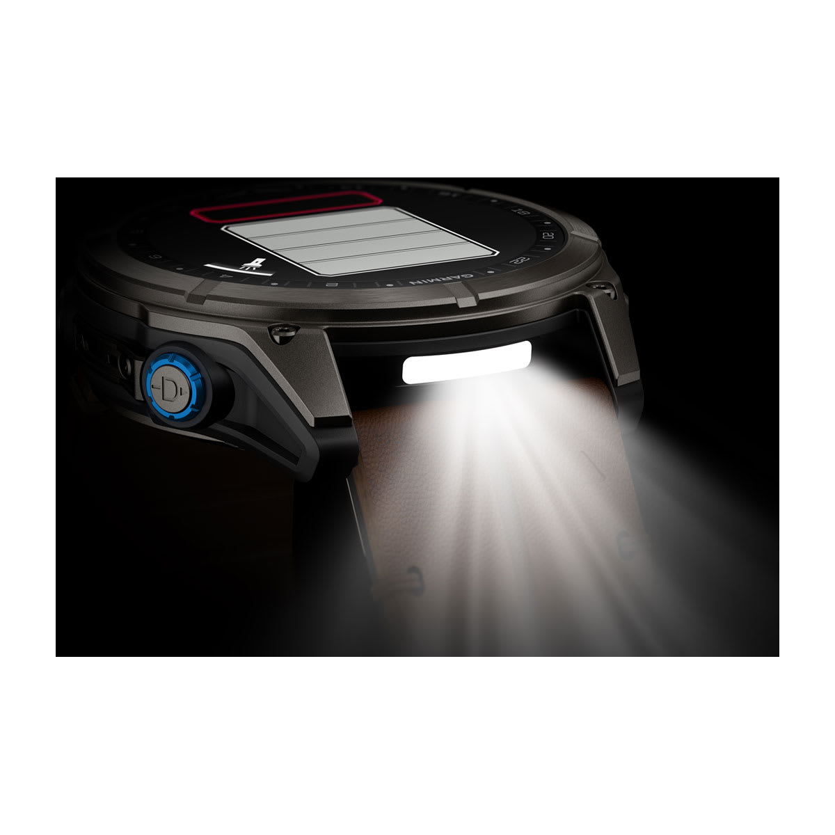
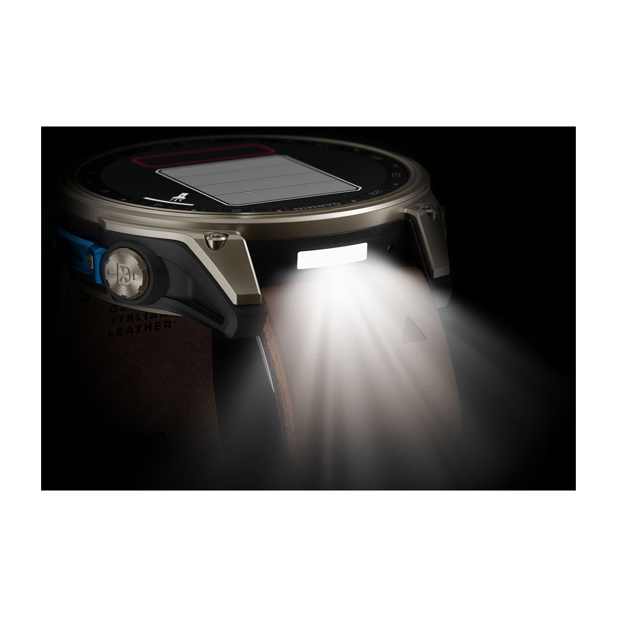
BRIGHT, 2-COLOR LED FLASHLIGHT AND RED SHIFT MODE
WHAT YOU’LL LOVE

AIRWORTHY DESIGN
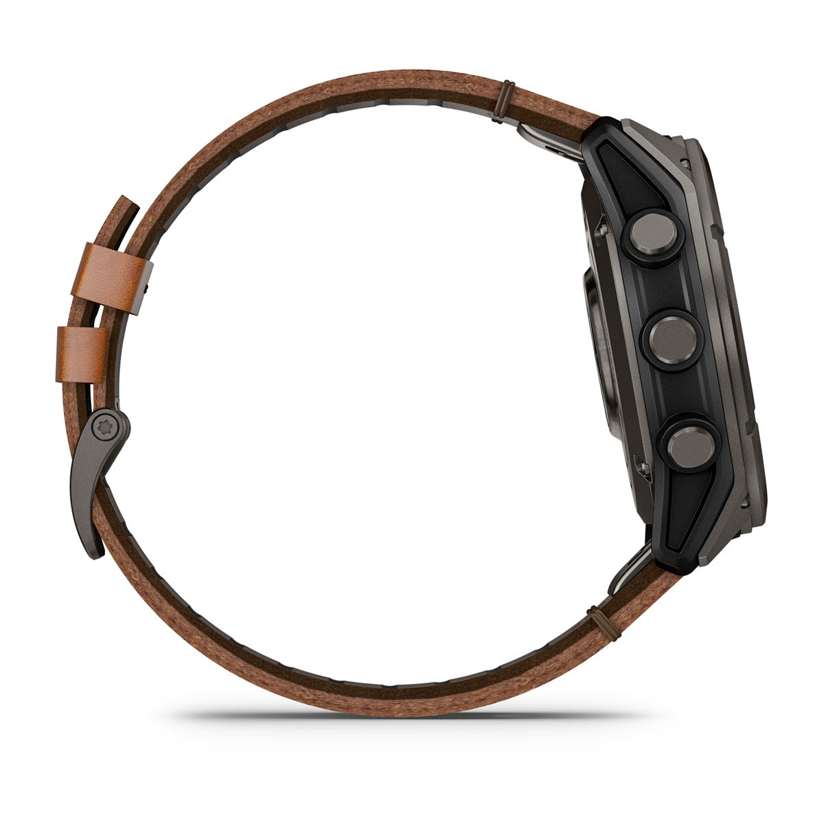
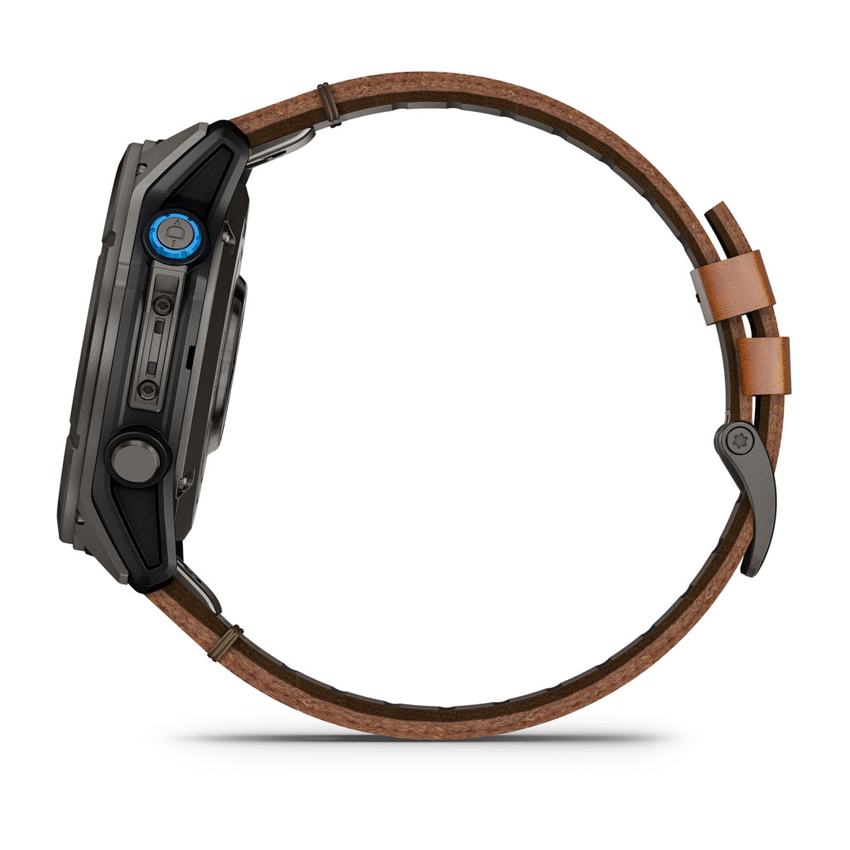
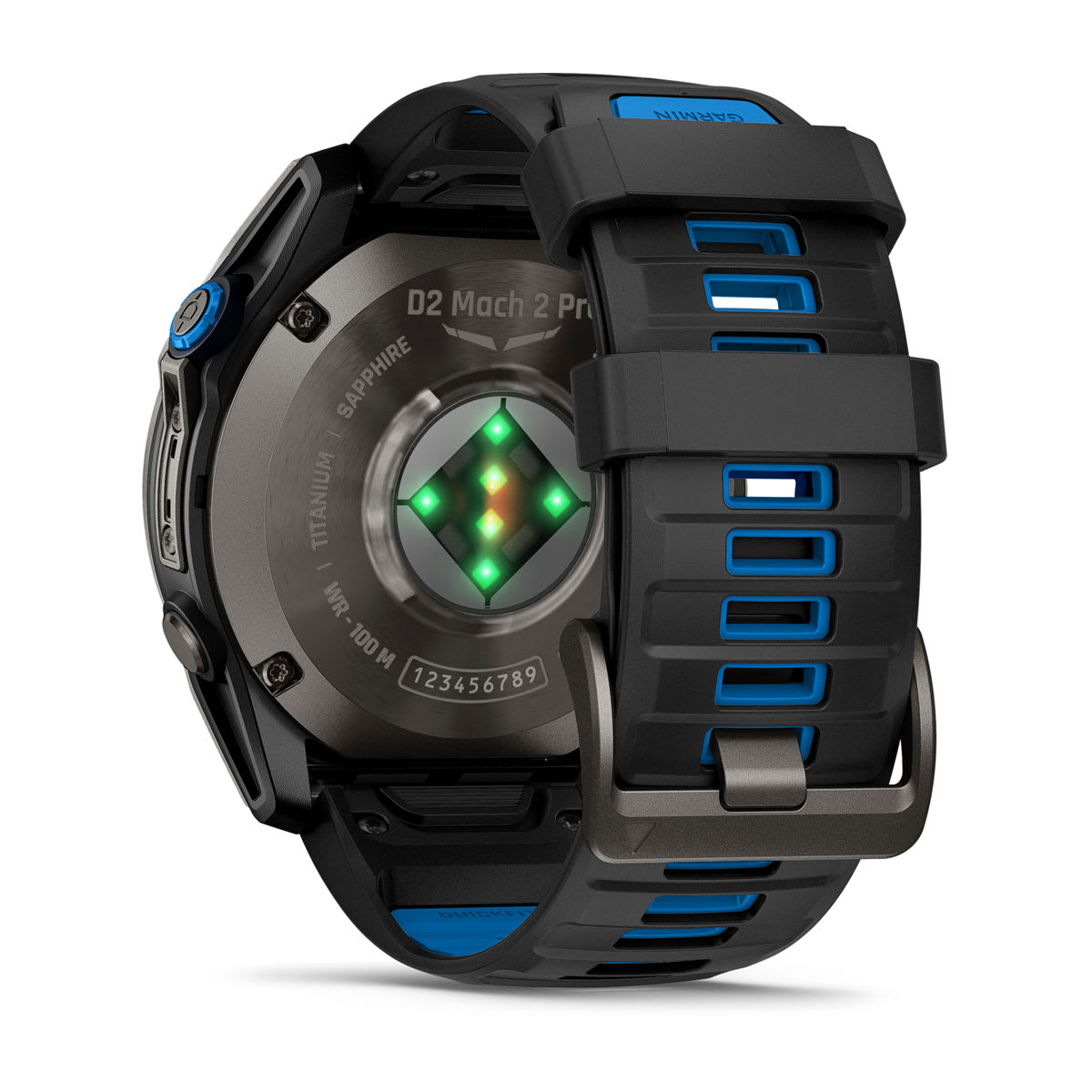
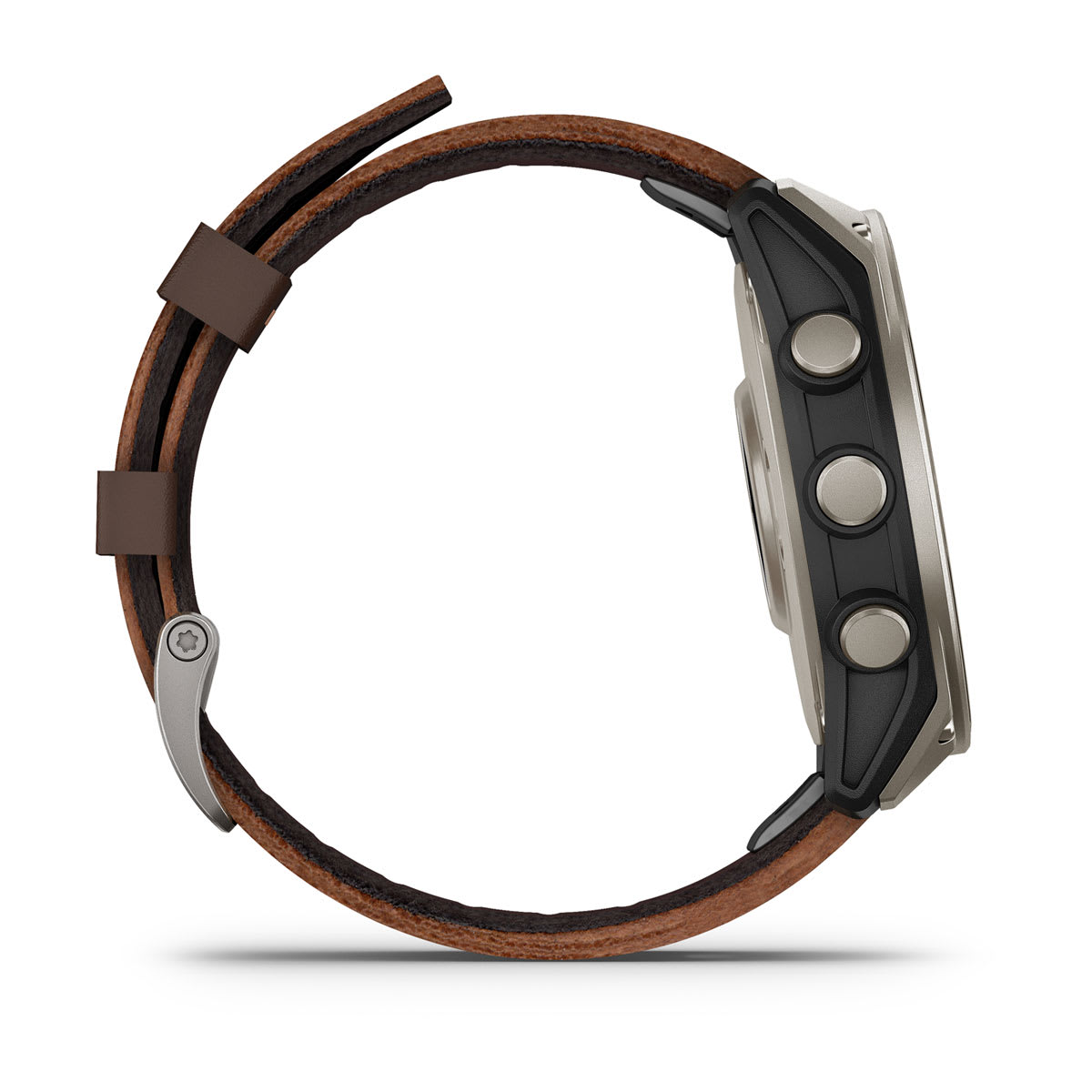
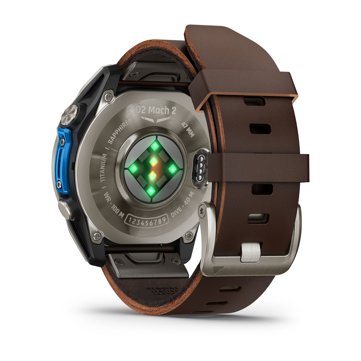
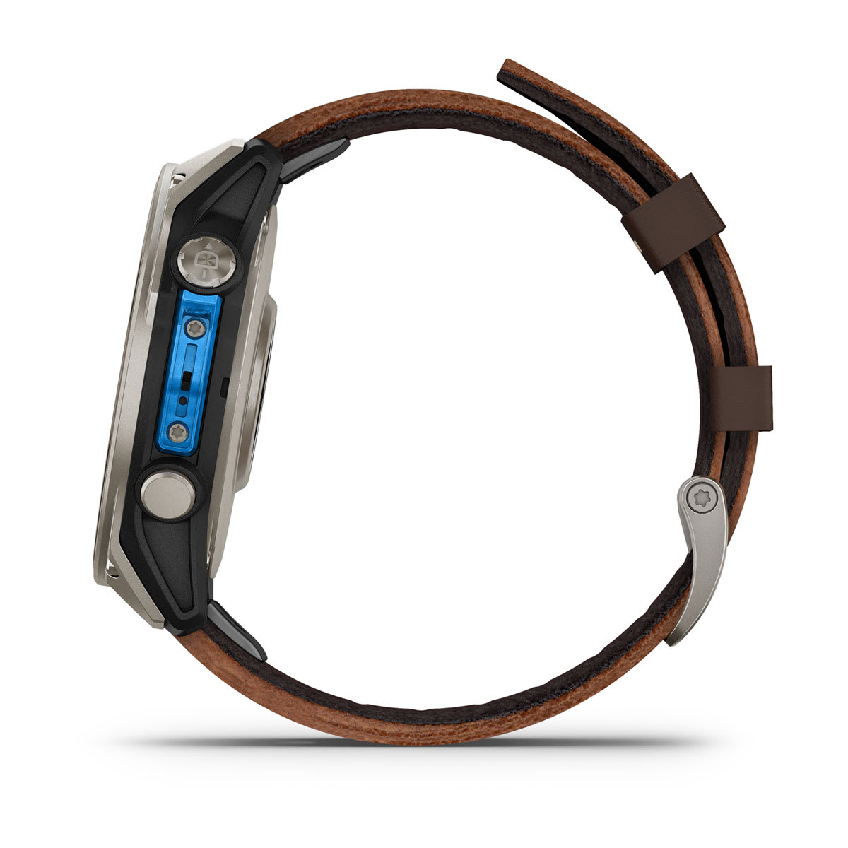
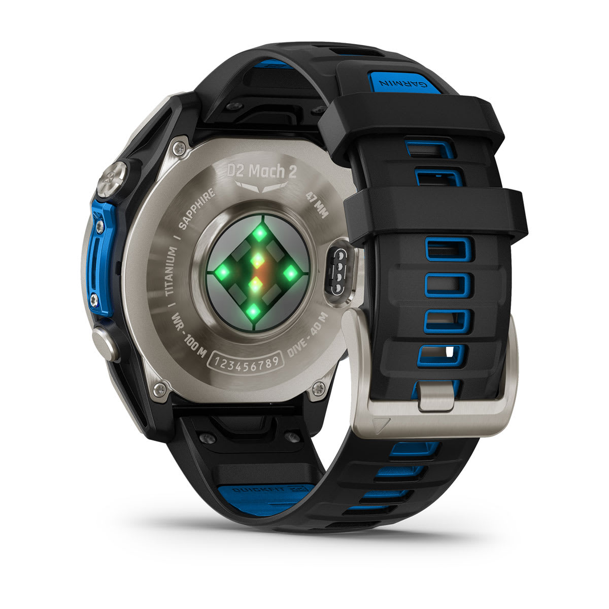
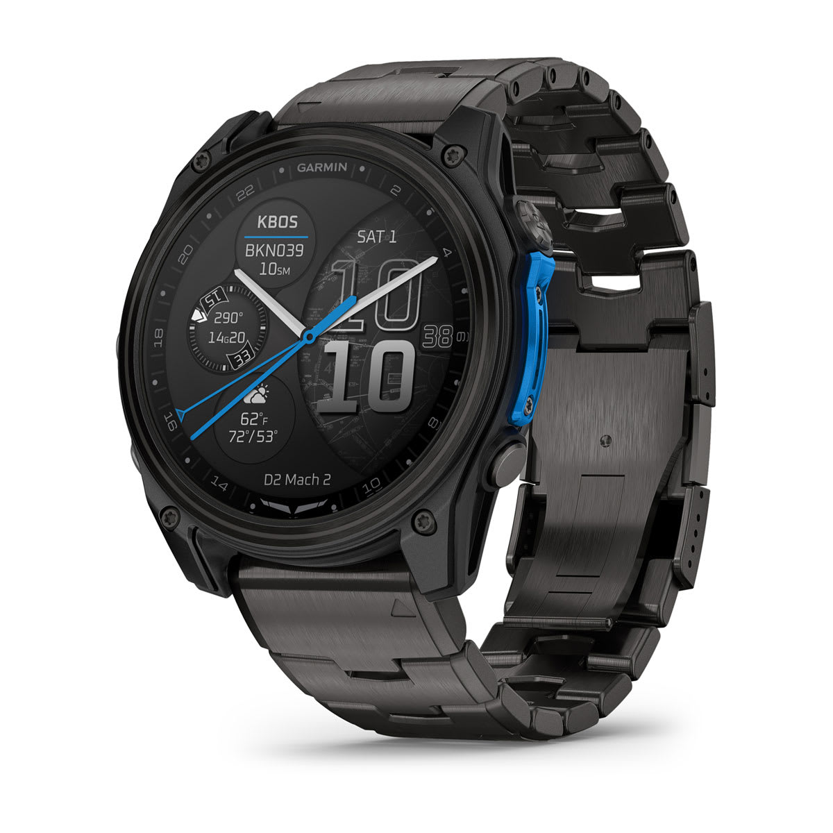
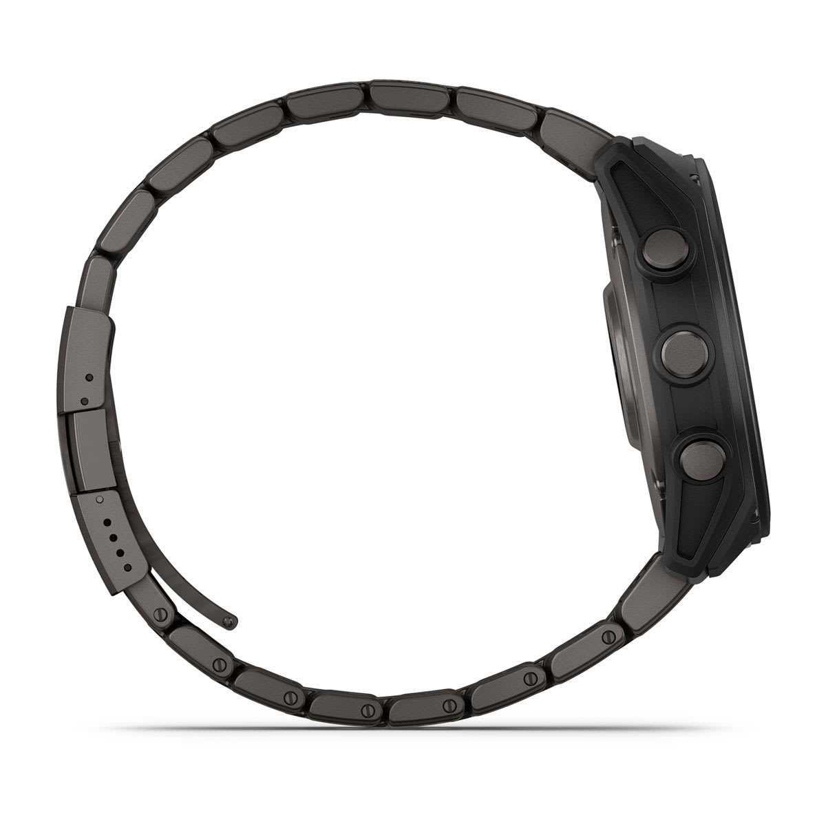
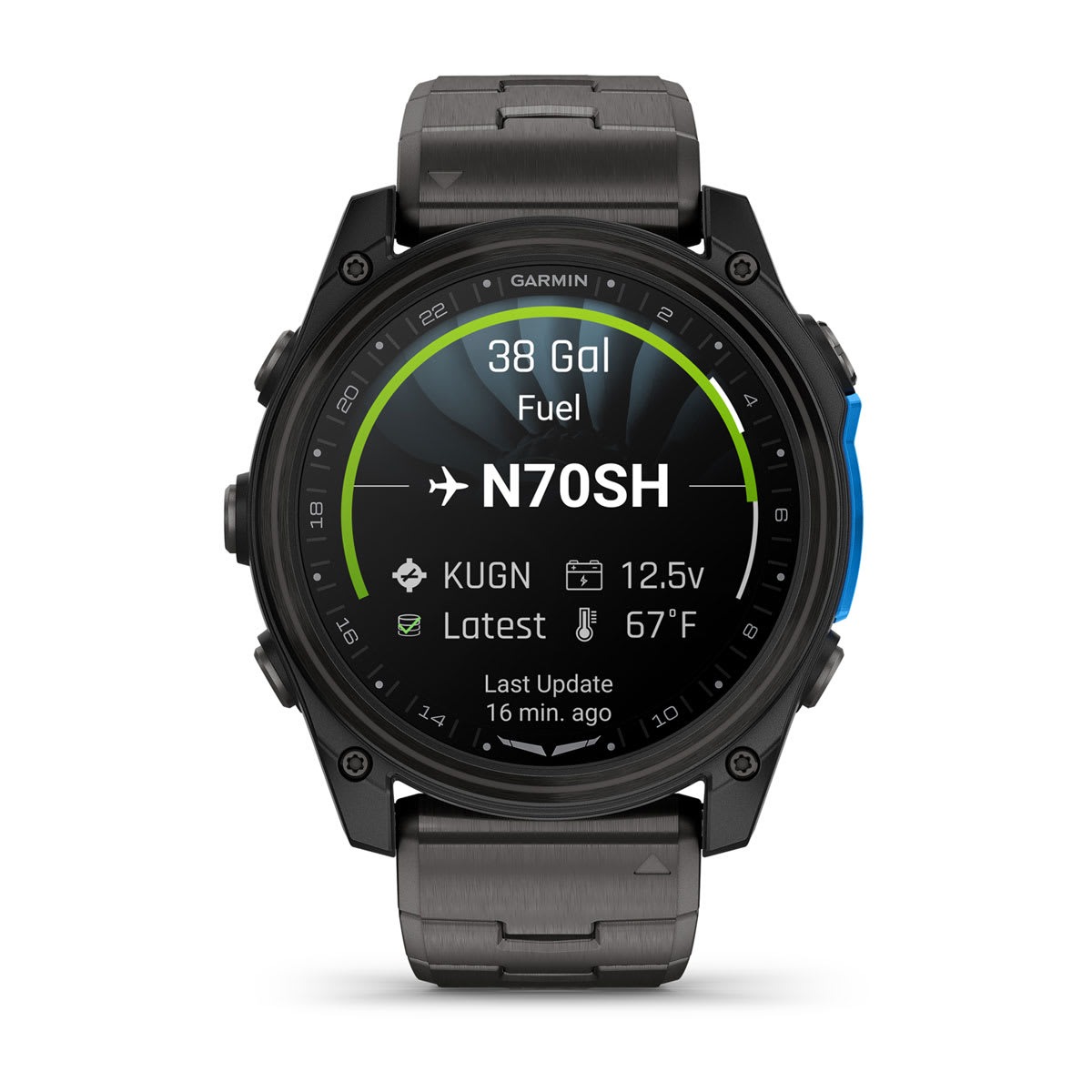
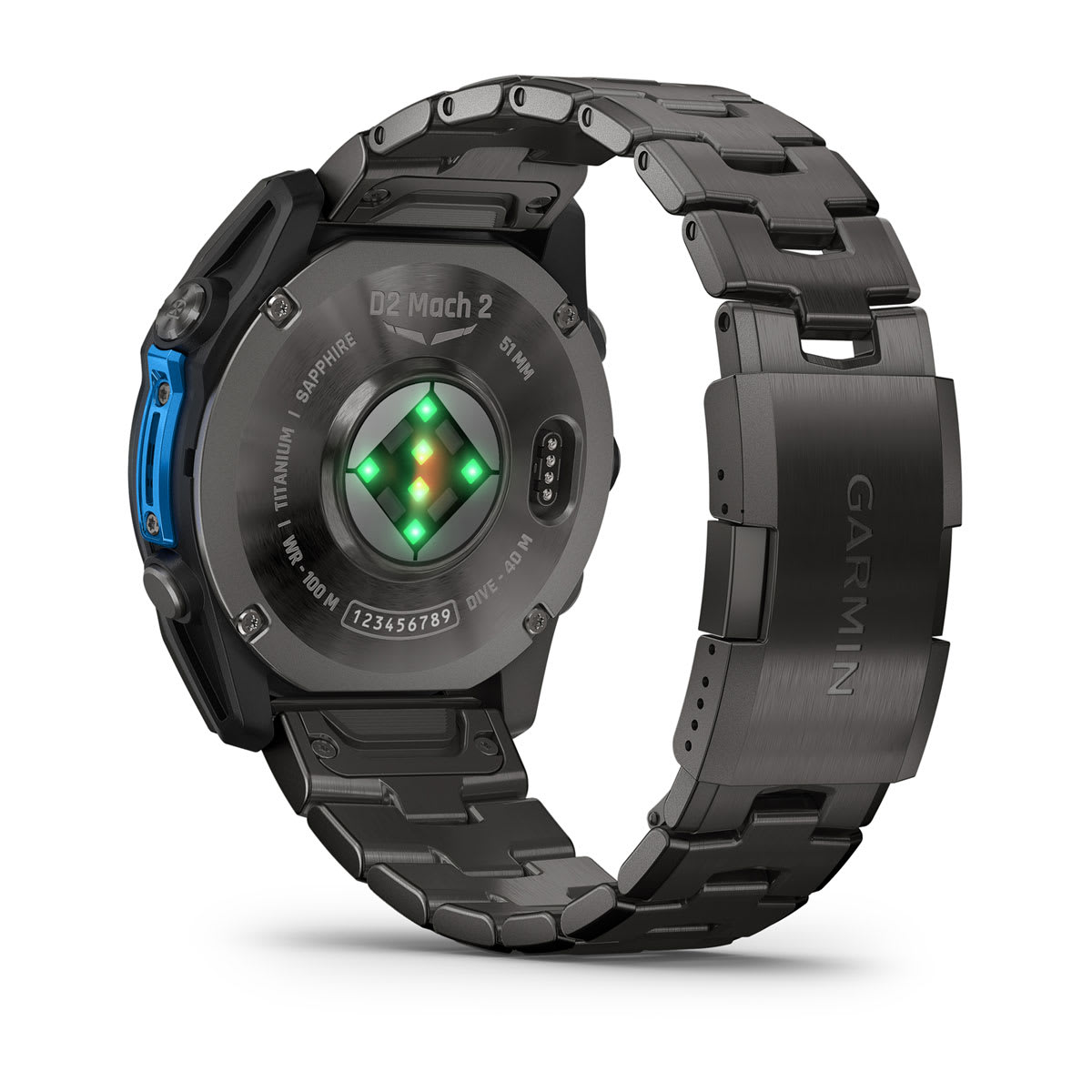
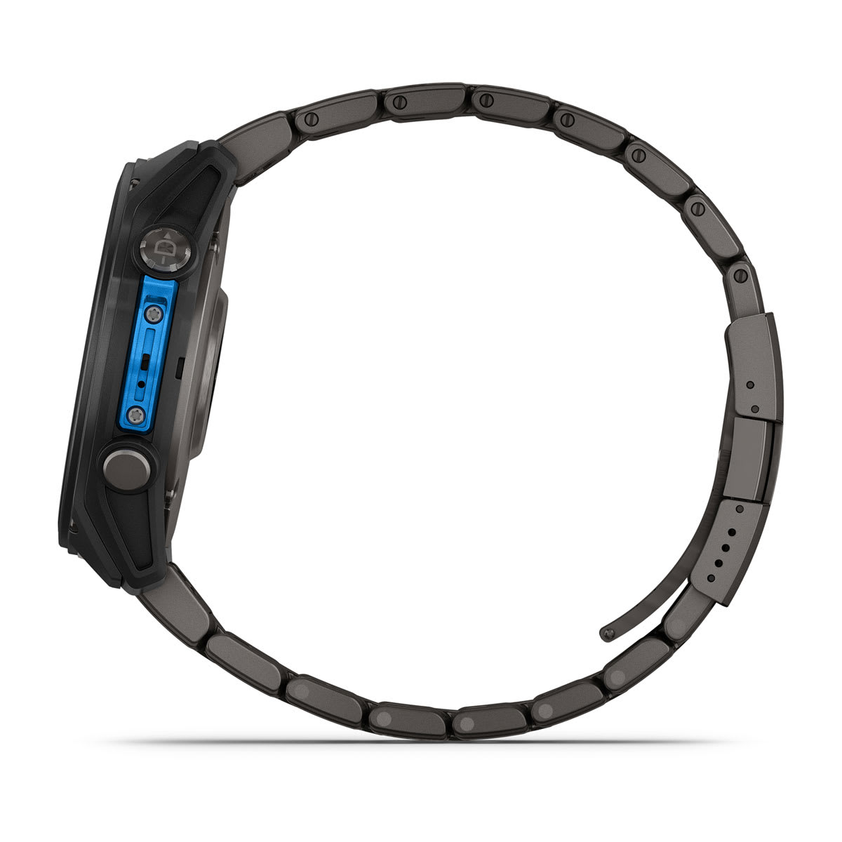
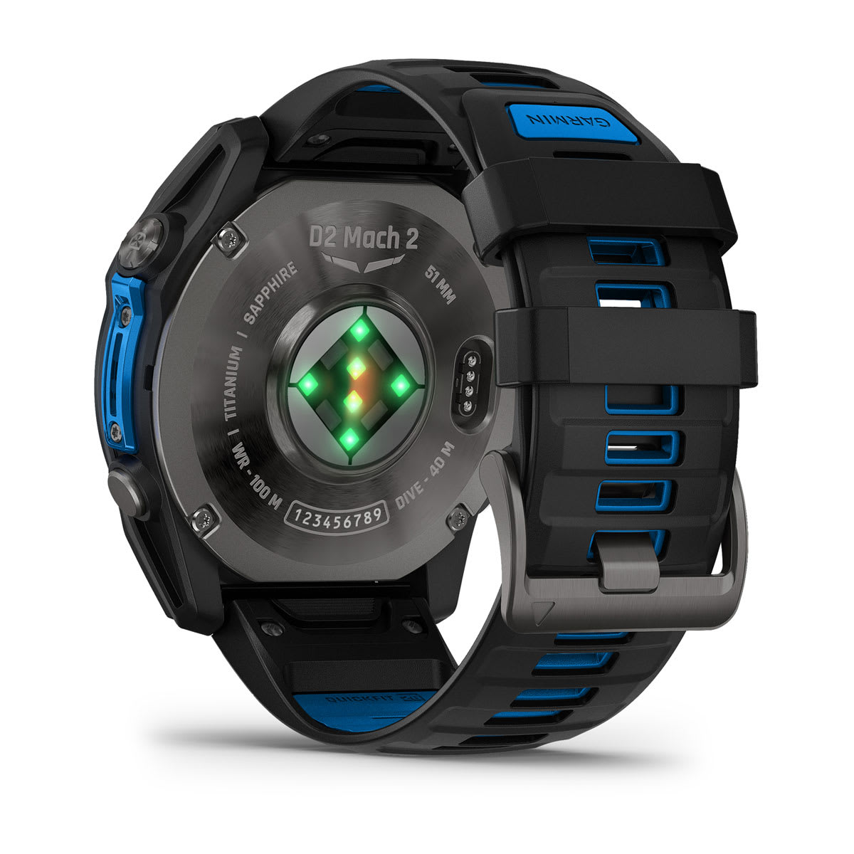
Purpose-built for the flying life, the D2 Mach 2 Pro aviator smartwatch features a bright 1.4-inch AMOLED display with sapphire lens, titanium bezel plus a metal sensor guard and leakproof buttons. So it can go places your phone can’t. It’s tested to U.S. military standards for thermal, shock and water resistance. The UTC lens surround and selectable sweeping seconds hand help keep you on schedule.

SOS MESSAGING AND THE GARMIN RESPONSE℠ CENTER
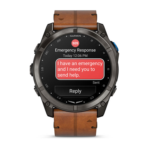
As our first aviator smartwatch with inReach technology1 for satellite and LTE connectivity, D2 Mach 2 Pro brings peace of mind to your adventures. Need help? Trigger an interactive SOS message from the ground for emergency support from the 24/7-staffed Garmin Response coordination center.

SATELLITE MESSAGING
When you’re venturing into off-grid locations, including up to 50 miles offshore, the watch’s inReach technology allows you to send messages and get location check-ins — once you establish a satellite link from the ground — with no phone connection required.

LTE CONNECTIVITY
Going for a run? Taking a swim? Leave your phone behind, and use your watch’s LTE connection1 between flights to exchange messages and make voice calls — plus let friends follow along with LiveTrack™ location sharing and location check-ins. Even get access to weather conditions and forecasts.

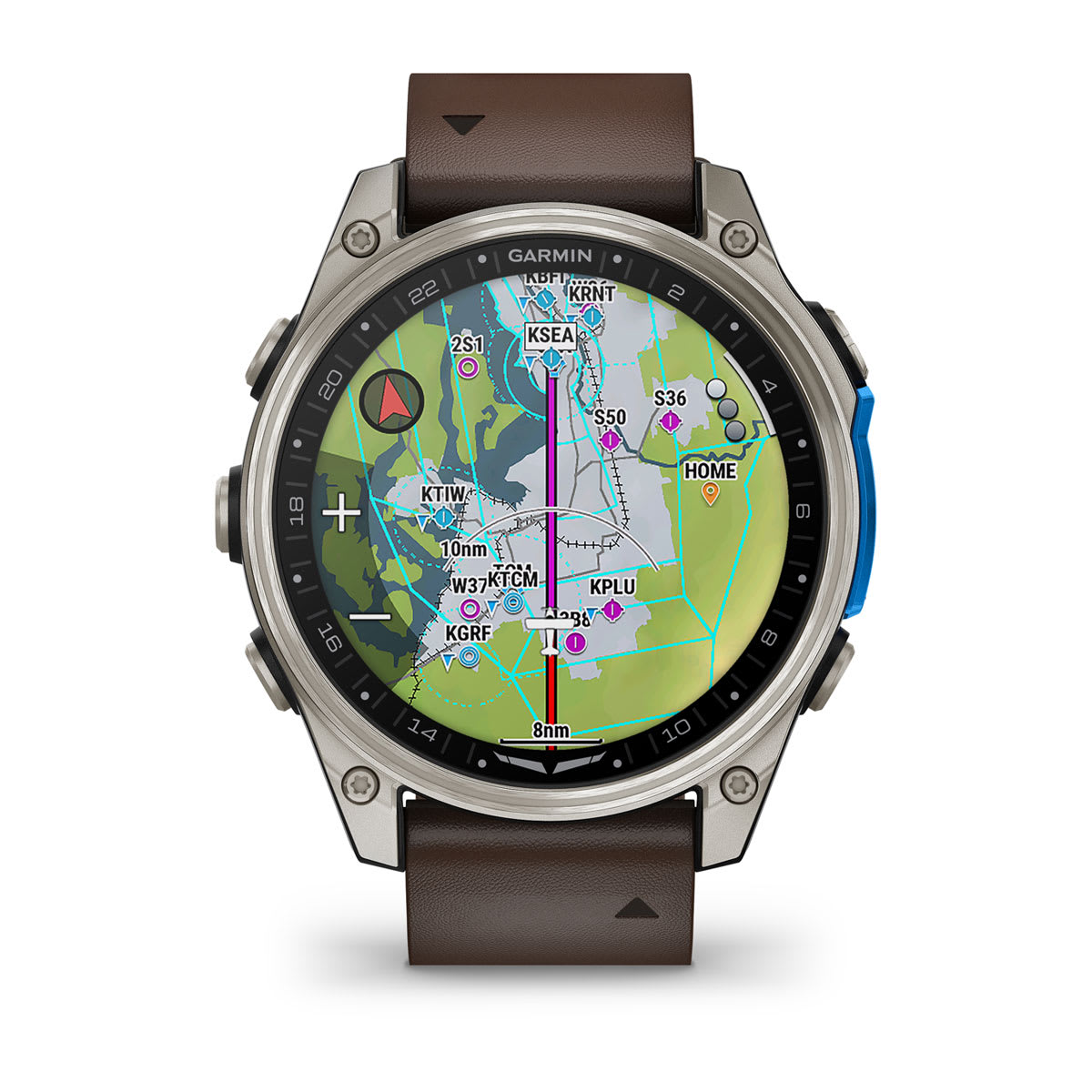
DYNAMIC FLIGHT MAPPING
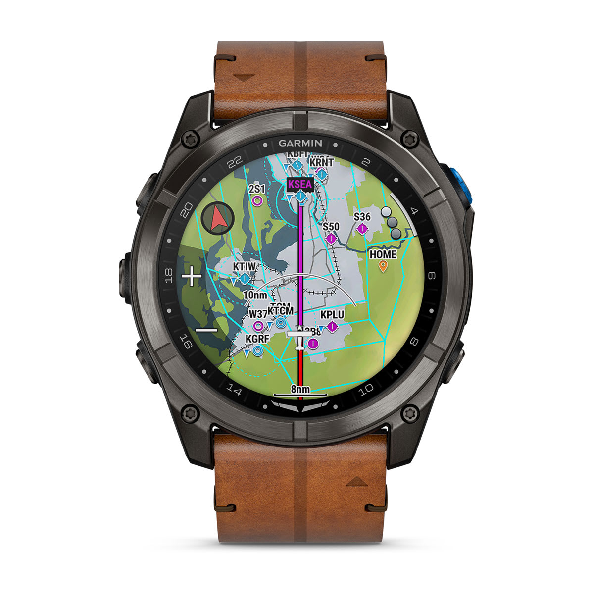
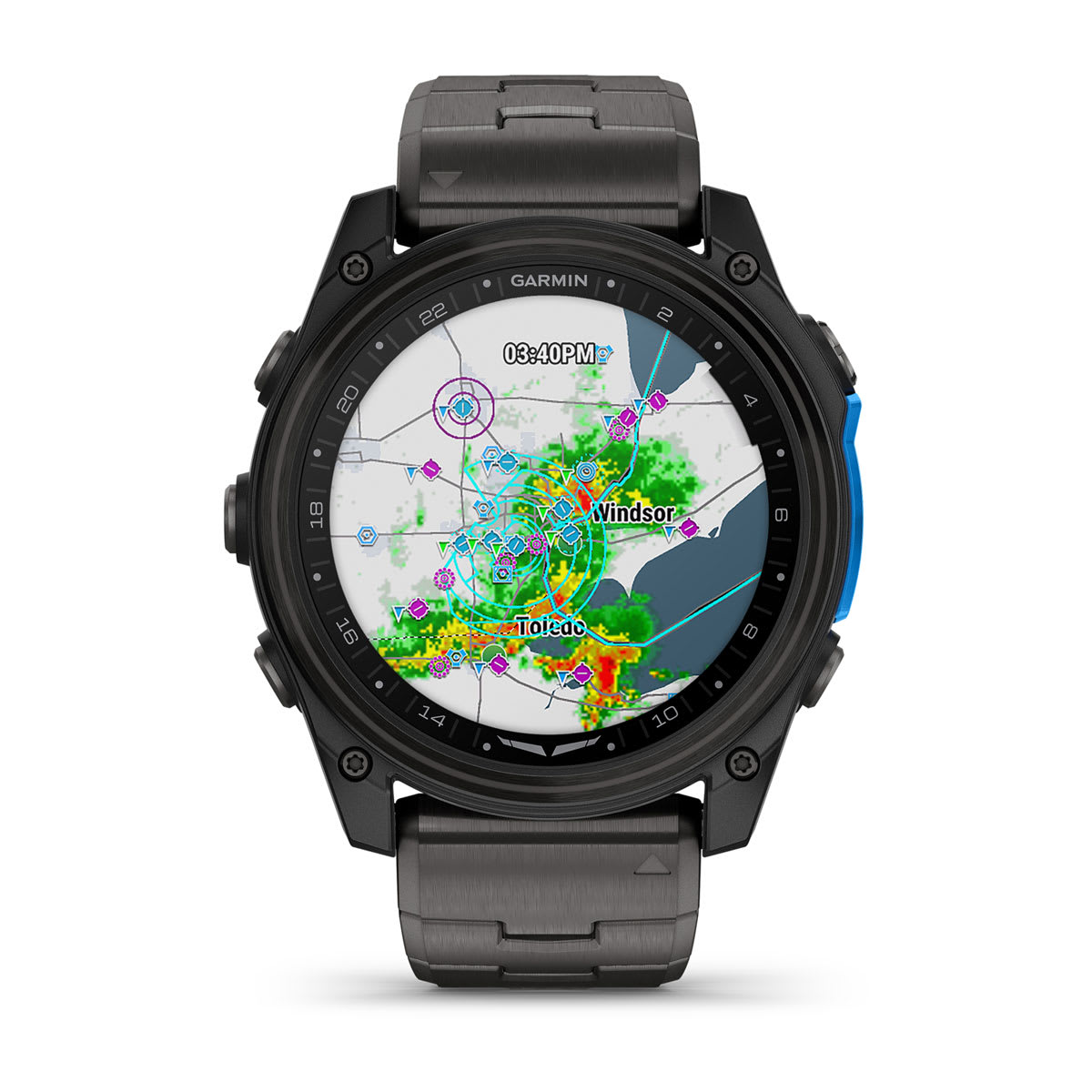
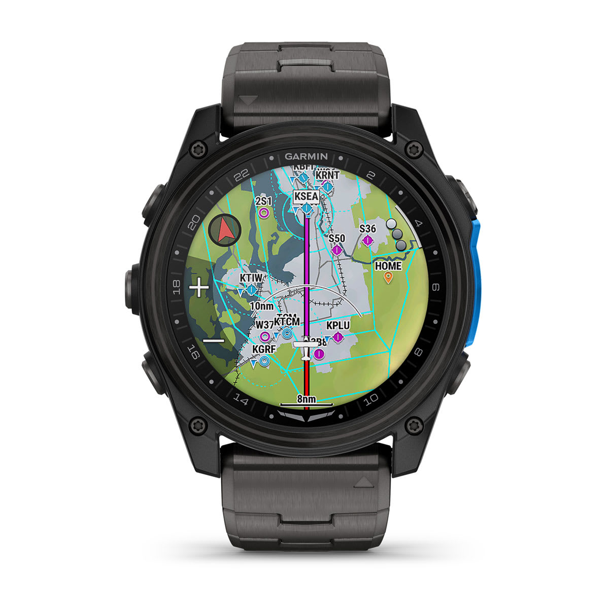
Advanced color moving maps feature airspaces, runways, airports, flight plan overlay and more — offering you the best and most detailed mapping of any Garmin pilot watch to date.

INTERFACE WITH YOUR AVIONICS
With the Garmin Pilot™ app2, transfer flight plans and receive data and alerts from your avionics in flight. While on the ground, remotely view the status of your aircraft equipped with PlaneSync™ datalink technology.
STAY IN CONTACT WITH INREACH TECHNOLOGY

PHONE-FREE VOICE CALLS
When you have an LTE connection, the Messenger Calls app on your watch lets you initiate and receive voice calls with other Garmin Messenger™ app users — without needing to carry your smartphone.

MESSAGING ON THE GO
Through satellite or LTE connection, messages can be shared with other Garmin Messenger app users directly from your watch. The app will automatically sync with your contacts when your watch is paired with your smartphone.

NO NEED TO SWITCH PROVIDERS
You’ll activate your subscription through Garmin, not your cellular provider, so access to inReach services is a seamless connection through your watch.

SAVE POWER
The D2 Mach 2 Pro smartwatch uses an LTE-M network, which is designed to use less power and minimize battery drain on your watch to keep your adventures going longer and stronger.

LIVETRACK FOLLOWING
LTE network connectivity1 lets friends follow your adventures with LiveTrack location sharing. You can also alert your friends that you have started a LiveTrack sequence, in case they want to follow or reach you during your activity.

HOW’S THE WEATHER?
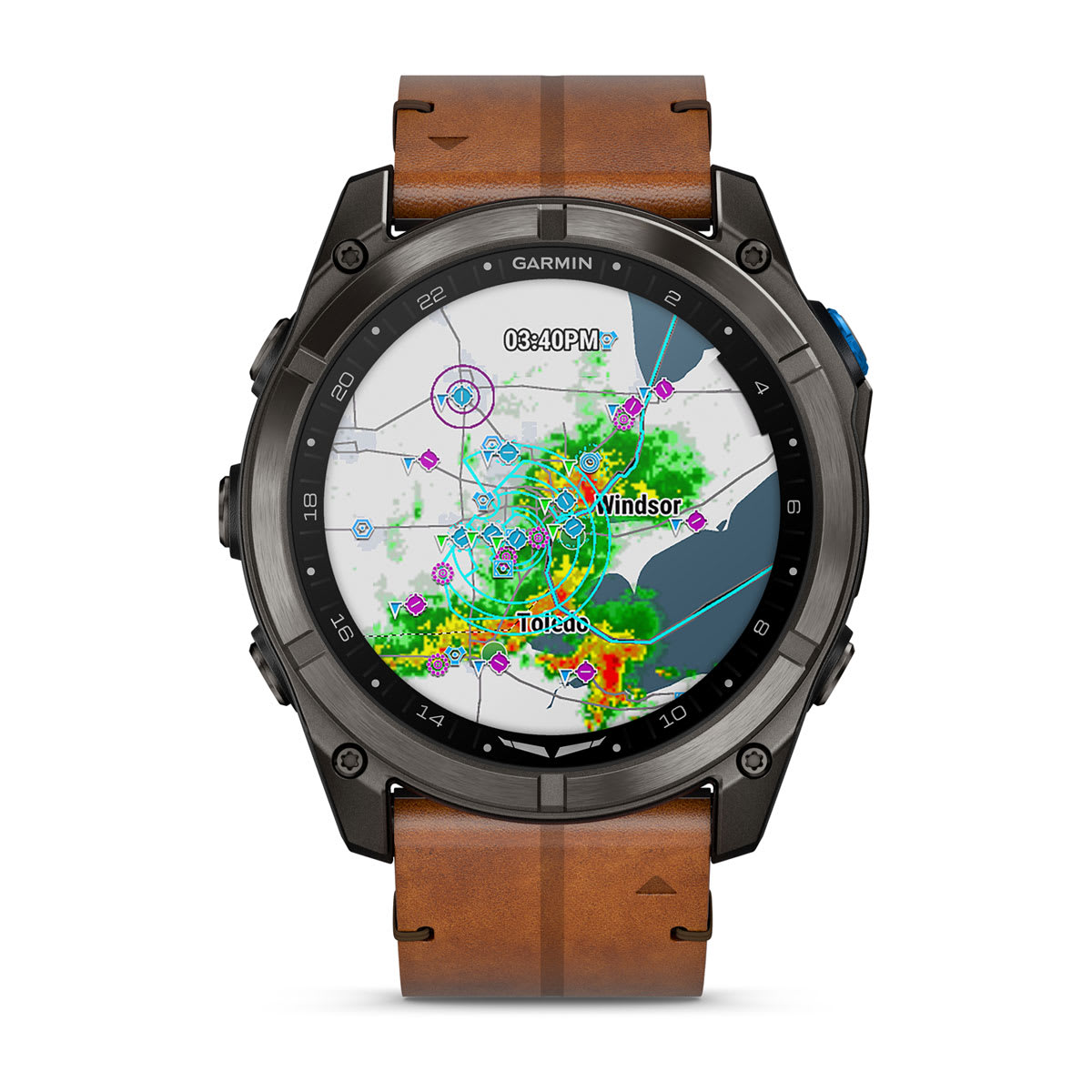
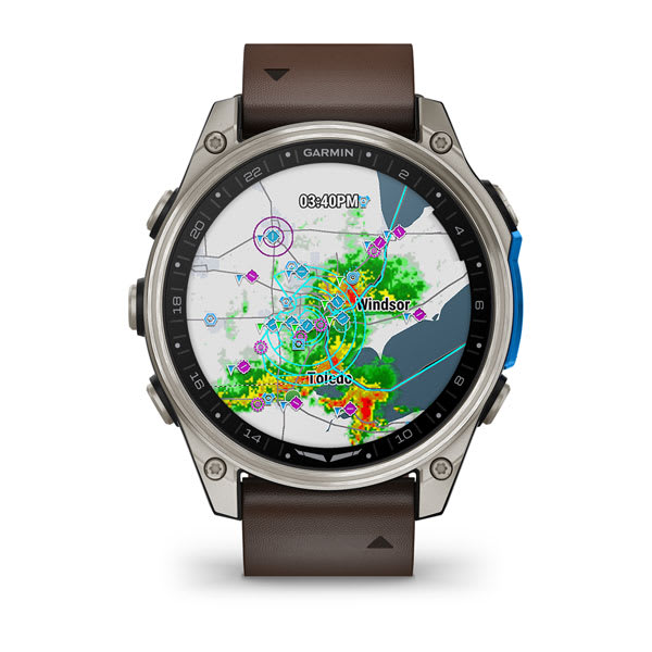
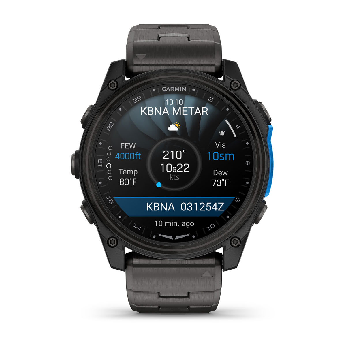
Know what’s ahead by accessing METARs, TAFs and more with an LTE connection1. Plus, you can overlay airport METAR flags, NEXRAD, cloud coverage, winds and temperature on the aviation map.

LOCATION CHECK-INS
Over satellite or LTE, user-initiated location updates can be sent to family and friends, keeping them apprised of your progress on trips and adventures.
STRAP IN FOR FLIGHT

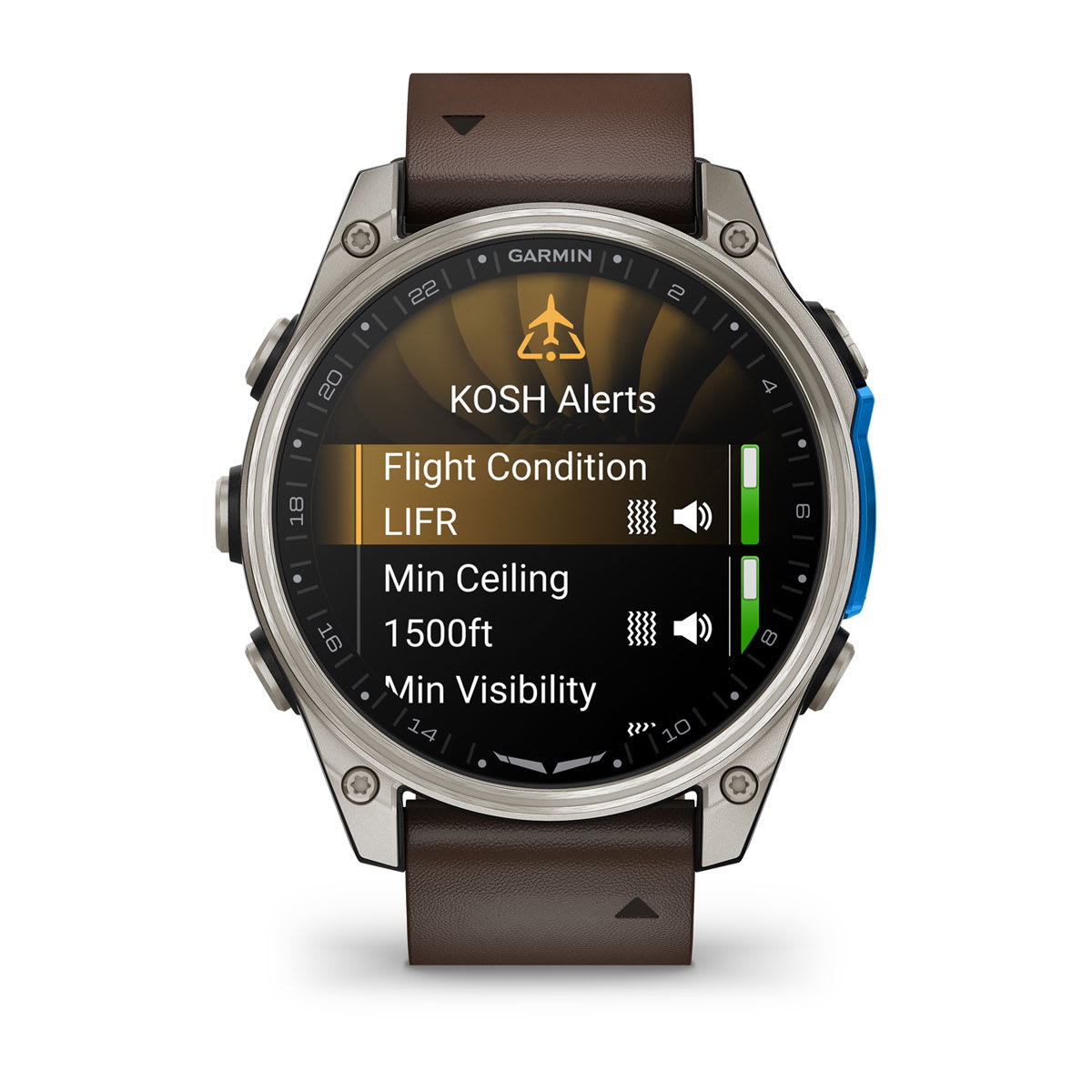
SET PERSONAL MINIMUMS
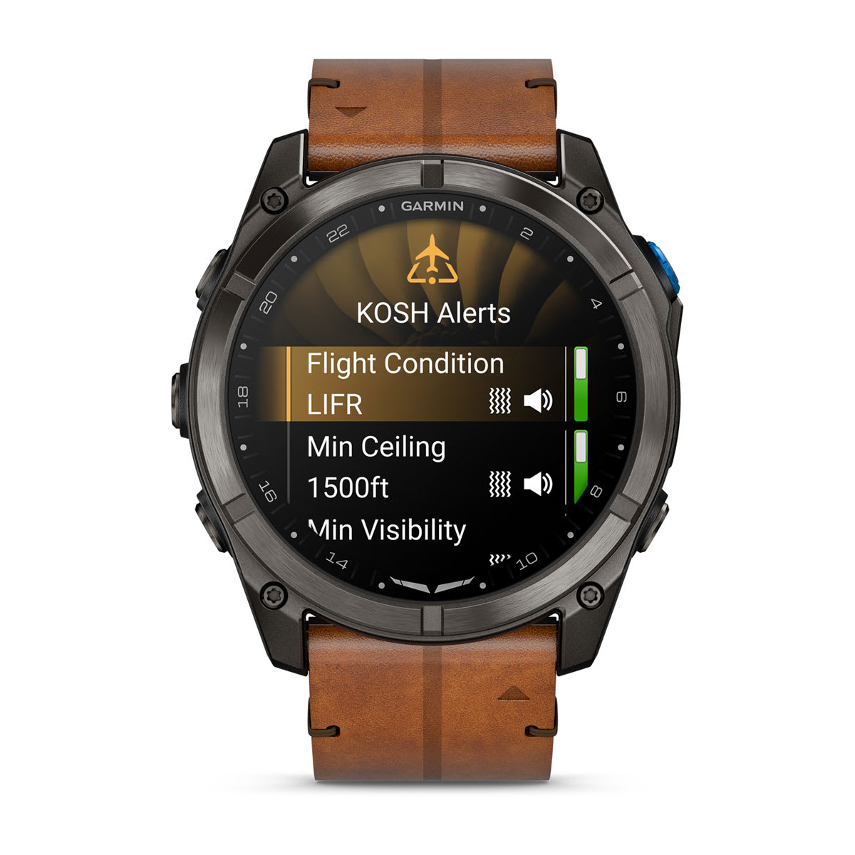
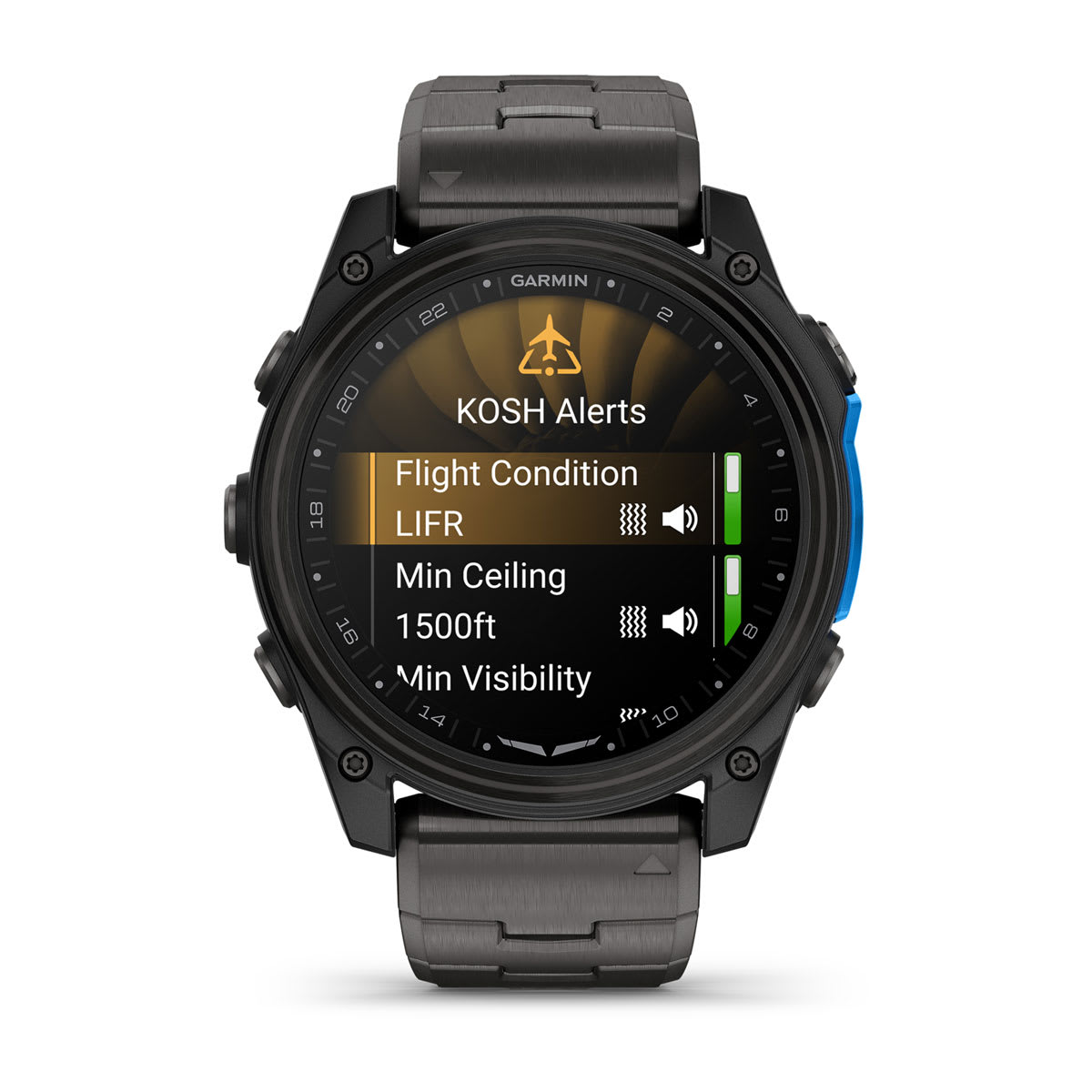
Go or no-go? Get alerts if conditions — such as crosswind, ceiling, visibility and more — exceed your preset limits.

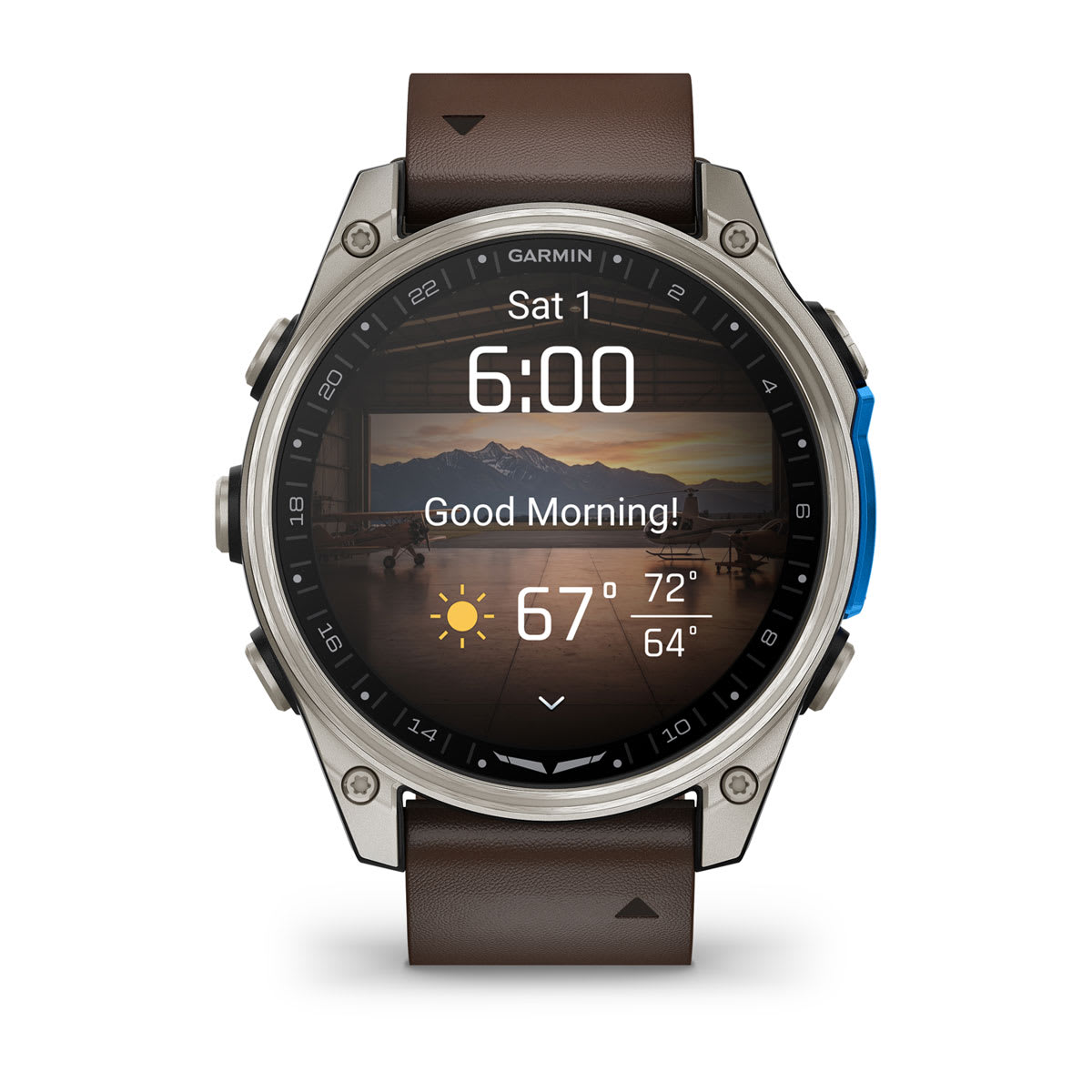
AVIATION MORNING REPORT
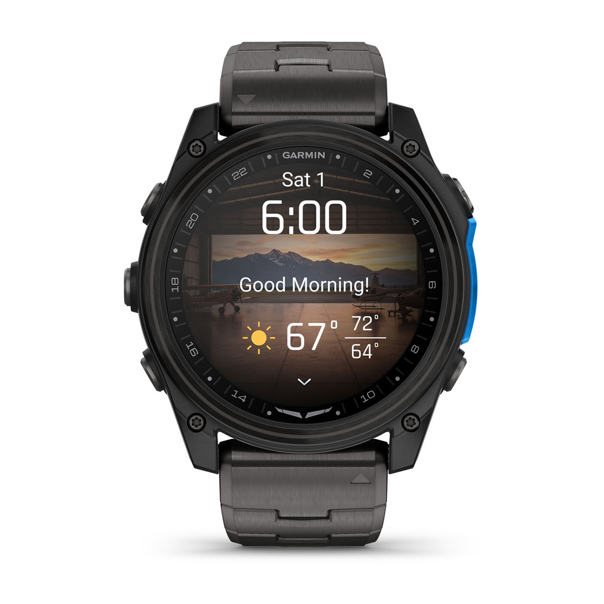
Get a briefing on the day’s anticipated weather conditions at your current location along with a customized overview of your sleep, recovery, HRV status and more as soon as you wake up.

DIRECT-TO NAVIGATION
Get phone-free navigation straight to the nearest airport — or any location or waypoint in the worldwide aeronautical database.

HSI COURSE NEEDLE
Easily see if you’re left or right of the desired flight path to your destination.

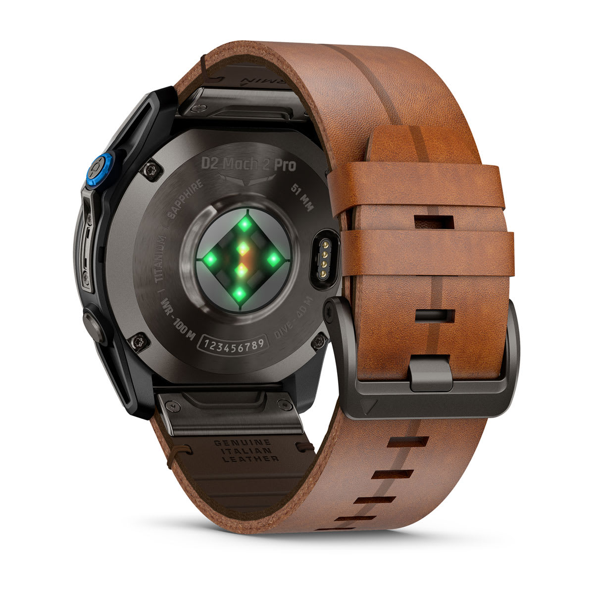
PULSE OX SENSOR
See how well your body’s oxygen levels are adjusting to thinner air at higher altitudes by checking Pulse Ox3 right on your wrist.

BAROMETRIC ALTIMETER
See when you’ve reached your desired altitude — or get a vibration alert when reaching an altitude where supplemental oxygen may be required.

FLIGHT LOGGING
Automatically track flights, and transfer date, duration and more to your flyGarmin.com® account1.

CONFIGURABLE ALERTS
Set notifications for new METAR and TAF reports, changing conditions and more.
BUILT-IN LED FLASHLIGHT
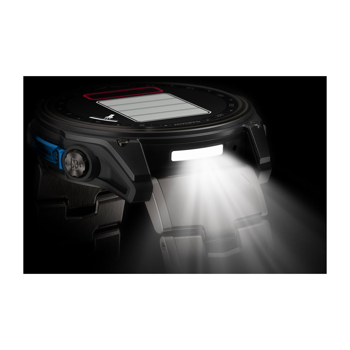
An integrated flashlight with variable intensities of white light as well as a red light setting gives you useful illumination in or out of the cockpit. There’s also a red shift mode to help preserve your night vision.

ALERTS AND TIMERS
Get reminders when it’s time to switch fuel tanks or perform other time-critical tasks.

UTC AND TIME ZONES
Stay on schedule when you travel with a UTC pointer plus multiple time zone displays.

SUNRISE/SUNSET WIDGET
Get daily indications for times of sunrise and sunset — plus hours for civil twilight.

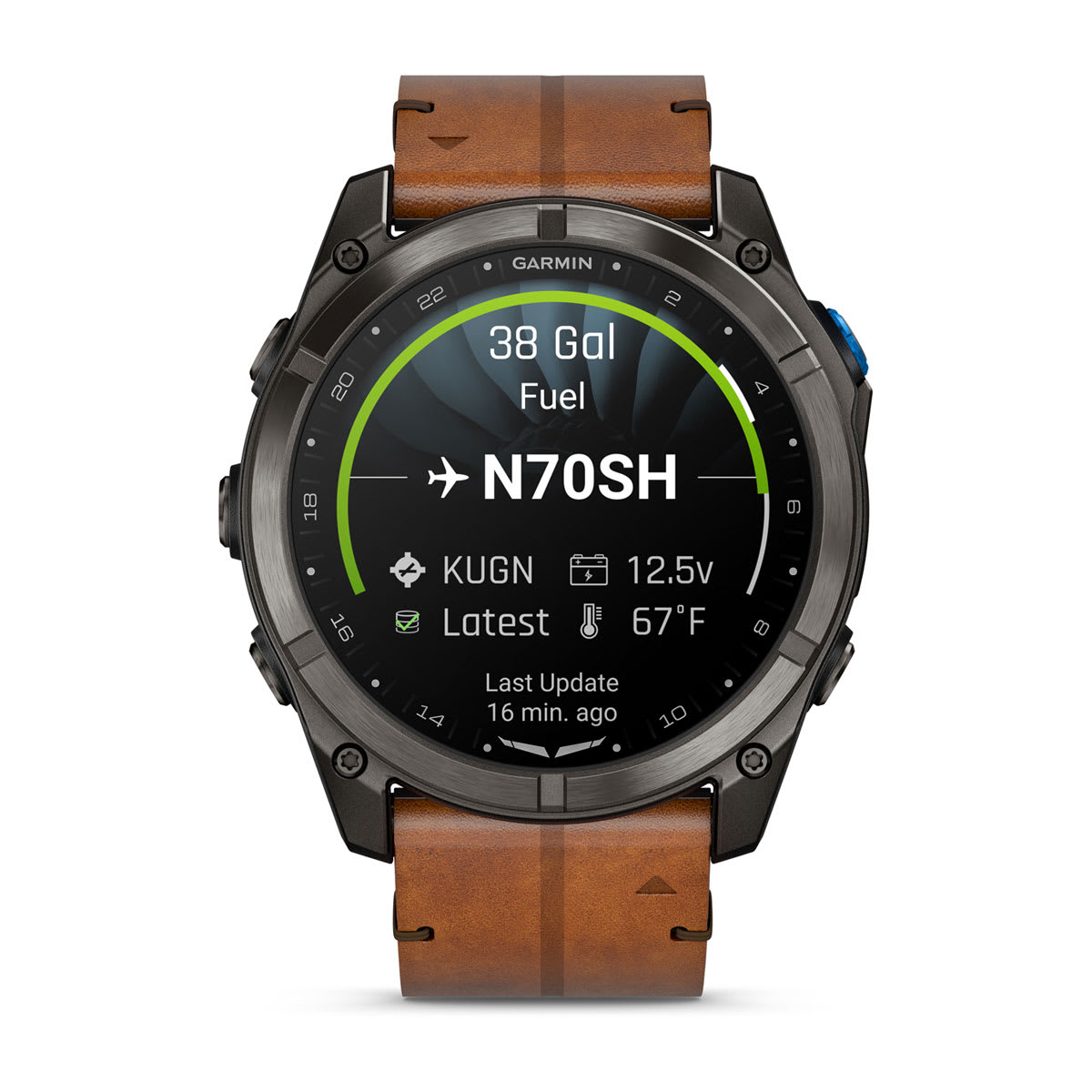
PLANESYNC COMPATIBLE
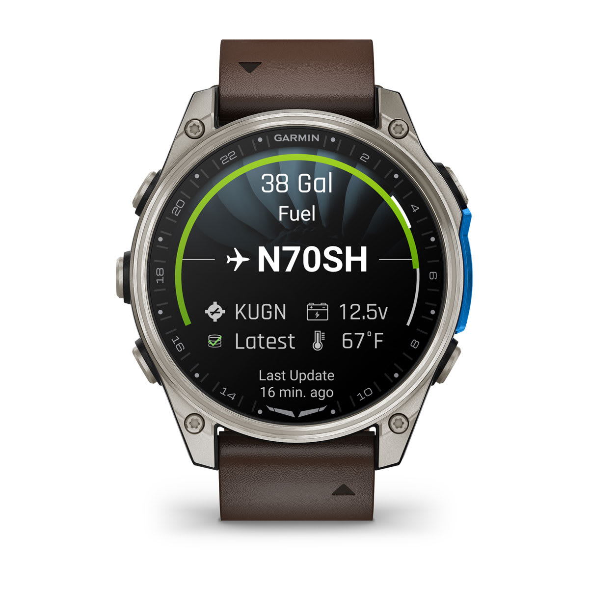
View the status of PlaneSync technology-equipped aircraft, including fuel, electrical, database and location.

WAYPOINTS INFORMATION
View airport info, frequencies, runway data and more from the built-in database.
| Weight | 1 lbs |
|---|---|
| Case Size | 47 mm, 51 mm |
| Version | D2 Mach 2, D2 Mach 2 Pro |
| Model/Color | 010-02904-30, 010-02905-30, 010-03199-50 |
Related products
-
Shop All Sales
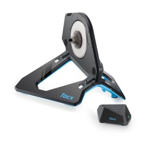
Tacx® NEO 2T Smart Trainer
Original price was: $999.99.$299.99Current price is: $299.99. Select options This product has multiple variants. The options may be chosen on the product page -
All Smartwatches
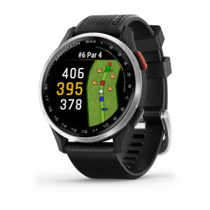
Approach® S44
Original price was: $249.99.$74.99Current price is: $74.99. Select options This product has multiple variants. The options may be chosen on the product page -
Chartplotters & Fishfinders
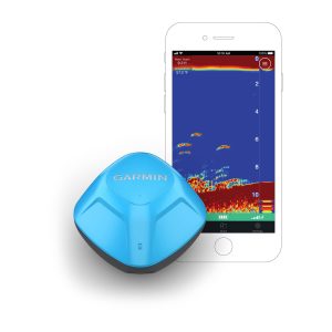
STRIKER™ Cast GPS
Price range: $38.99 through $53.99 Select options This product has multiple variants. The options may be chosen on the product page -
Adventure
Instinct® Crossover AMOLED
Price range: $164.99 through $194.99 Select options This product has multiple variants. The options may be chosen on the product page
Reviews
There are no reviews yet.